Home
June 8, 2022 2025-02-26 11:24Home
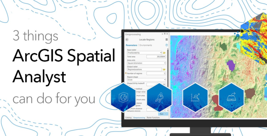
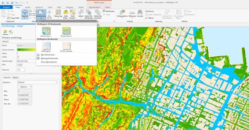
Three Things ArcGIS Spatial Analyst Can Do for You
 Rachael Mutuli
 October 19, 2023
ArcGIS Spatial Analyst is an extension for ArcGIS Desktop that provides a wide range of spatial analysis and modeling capabilities….
Read More

ArcGIS Solutions: Unlocking the Power of Industry-Specific GIS
Rachael Mutuli
October 13, 2023
In today’s fast-paced and data-rich world, location matters more than ever. Whether you’re managing city infrastructure, optimizing crop yields, delivering…
Read More
Get to Know ArcGIS Image for ArcGIS Online
Rachael Mutuli
October 11, 2023
In the world of Geographic Information Systems (GIS), ArcGIS Online is a powerful platform that has revolutionized the way we…
Read More
ArcGIS Drone2Map: Do More with Your Drone Imagery
Rachael Mutuli
October 11, 2023
Drones have revolutionized the way we capture and analyze geographic information. These versatile aerial vehicles provide a wealth of data,…
Read More
From Field to Map: Collecting and Analyzing Data with ArcGIS
Rachael Mutuli
October 1, 2023
In the realm of Geographic Information Systems (GIS), the journey from field data collection to the creation of informative maps…
Read More
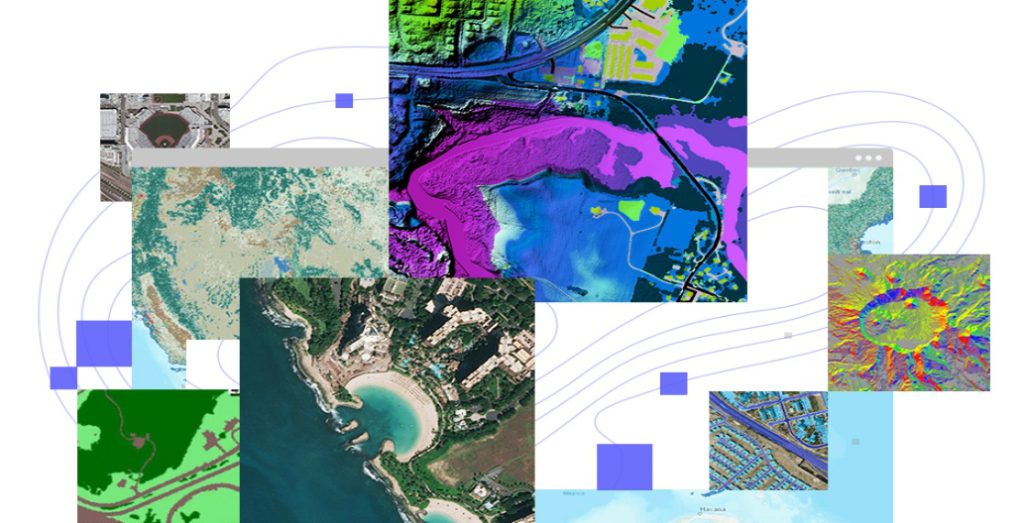
ArcGIS Image: An Easier Way to Work with Imagery and Raster Data
Rachael Mutuli
September 22, 2023
In today’s data-driven world, geographic information systems (GIS) play a pivotal role in helping us make sense of complex spatial…
Read More
From Novice to Pro: Build Your Geospatial Skills with ArcGIS
Rachael Mutuli
September 21, 2023
Geospatial technology plays a crucial role in analyzing and visualizing spatial data for a wide range of industries and applications
Read More
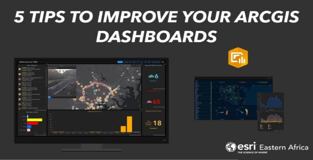
Five Tips to Improve Your ArcGIS Dashboards
Rachael Mutuli
September 21, 2023
ArcGIS Dashboards is a powerful tool that allows users to create interactive and visually appealing data visualizations.
Read More
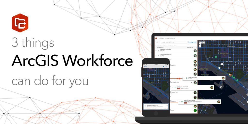
Three Things ArcGIS Workforce Can Do for You
Rachael Mutuli
September 18, 2023
In today’s fast-paced world, efficient management of resources, tasks, and personnel is crucial for organizations across various industries. ArcGIS Workforce,…
Read More

A Holistic Approach to Protecting Africa’s Wildlife
Rachael Mutuli
September 18, 2023
Africa’s breathtaking landscapes, teeming with diverse wildlife, have long been a source of wonder and fascination for people around the…
Read More
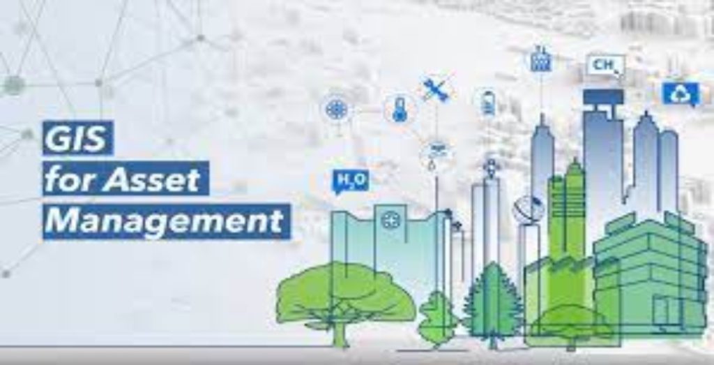
Harnessing the Power of ArcGIS for Efficient Asset Management
Rachael Mutuli
September 11, 2023
Effective asset management is crucial for businesses and organizations of all sizes in the first-paced world of today.
Read More
ArcGIS Pro Review: 15 Reasons to Map Like a Pro
Rachael Mutuli
September 11, 2023
Mapping has become an essential tool for various industries, from urban planning and environmental management to business analytics and disaster…
Read More

The Cloud-Based Solution for Geospatial Collaboration
Rachael Mutuli
September 11, 2023
In a world driven by data, location intelligence plays a pivotal role in decision-making across various industries.
Read More
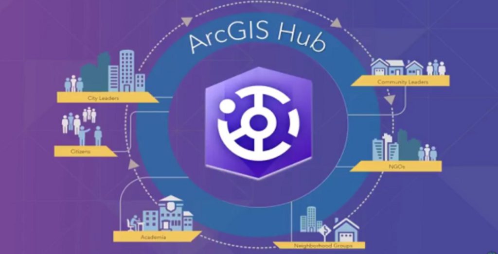
ArcGIS Hub: Empowering Collaborative Decision Making and Citizen Engagement
Rachael Mutuli
September 1, 2023
The power of data and technology is changing how communities, organizations, and governments collaborate and make choices
Read More
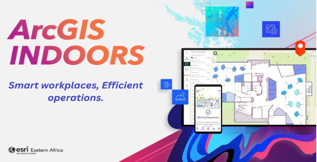
Smart Workplaces, Efficient Operations
Rachael Mutuli
August 30, 2023
In an age where technology is rapidly transforming the way we work and interact with our environment, businesses are constantly
Read More