ArcGIS Drone2Map: Do More with Your Drone Imagery
October 11, 2023 2023-10-12 13:28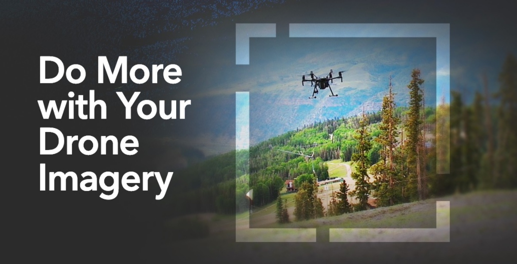
ArcGIS Drone2Map: Do More with Your Drone Imagery
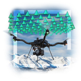
Drones have revolutionized the way we capture and analyze geographic information. These versatile aerial vehicles provide a wealth of data, from stunning high-resolution imagery to detailed 3D models of landscapes. However, to truly unlock the potential of drone imagery, you need the right tools. That’s where ArcGIS Drone2Map comes in. In this article, we’ll explore how this powerful software can help you do more with your drone imagery.
Related: 3 Things ArcGIS Drone2Map can Do for You
How ArcGIS Drone2Map can help you do more
Here is how ArcGIS Drone2Map ca help you do more with your drone imagery:
Transform imagery into actionable information
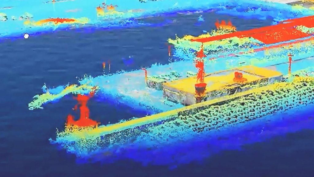
This software is designed to turn raw drone imagery into actionable information. Whether you’re in agriculture, construction, environmental monitoring, or any other industry, it can help you extract valuable insights from your data. You can create orthomosaics, 3D point clouds, and digital surface models with ease.
Streamline data processing
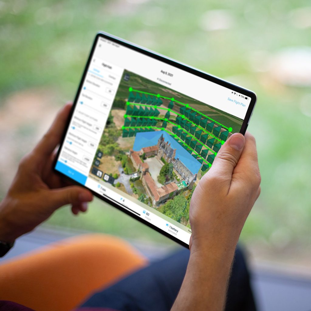
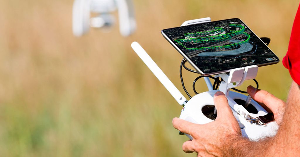
Processing drone imagery can be a daunting task, especially when dealing with large datasets. ArcGIS Drone2Map simplifies this process by providing an intuitive interface for data processing. It allows you to stitch together hundreds or even thousands of images into seamless maps and models. With automated workflows, you can save time and resources while still achieving high-quality results.
Accurate and detailed mapping
One of the key advantages of using this software is its ability to generate highly accurate maps and models. This precision is crucial for tasks like land surveying, crop monitoring, and infrastructure inspection. You can trust that the data you collect with your drone will be transformed into reliable and detailed information for better decision-making.
Integration with ArcGIS ecosystem
This software seamlessly integrates with the broader ArcGIS ecosystem. This means you can combine drone data with other spatial information, such as GIS layers, demographic data, and environmental factors. The ability to overlay and analyze multiple data sources empowers you to make informed decisions and gain deeper insights.
Collaborative workflows
Collaboration is often essential in today’s projects. ArcGIS Drone2Map enables teams to work together efficiently by sharing and collaborating on drone data and maps. This collaborative environment fosters better communication and helps organizations maximize the value of their drone imagery.
Versatile output formats
ArcGIS Drone2Map supports various output formats, making it compatible with a wide range of applications. You can export your data in formats like GeoTIFF, LAS, and 3D PDF, ensuring that your data can be used in your preferred GIS software or shared with stakeholders easily.
Related: Know Your Options When it Comes to GIS Data Formats
Enhanced decision-making
Incorporating drone imagery into your workflows can lead to more informed decision-making. Whether you’re assessing the health of crops, planning construction projects, or monitoring environmental changes, having access to accurate and up-to-date drone data can be a game-changer.
Related: Turning Drone Imagery Into Geospatial Intelligence
ArcGIS Drone2Map empowers professionals across industries to harness the full potential of their drone imagery. From accurate mapping to streamlined data processing and collaborative workflows, this software offers a comprehensive solution for turning drone data into actionable insights. Explore its capabilities and take your drone imagery to new heights. Click here to learn more.