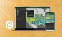
Get to Know ArcGIS Image for ArcGIS Online
October 11, 2023 2023-10-11 14:02Get to Know ArcGIS Image for ArcGIS Online
In the world of Geographic Information Systems (GIS), ArcGIS Online is a powerful platform that has revolutionized the way we create, analyze, and share spatial data. It offers a wide range of tools and capabilities for GIS professionals, and one of the exciting features it brings to the table is “ArcGIS Image for ArcGIS Online.” In this blog post, we’ll take a closer look at this remarkable feature and explore how it can enhance your GIS workflows.
Understanding ArcGIS Image for ArcGIS Online
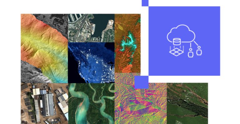
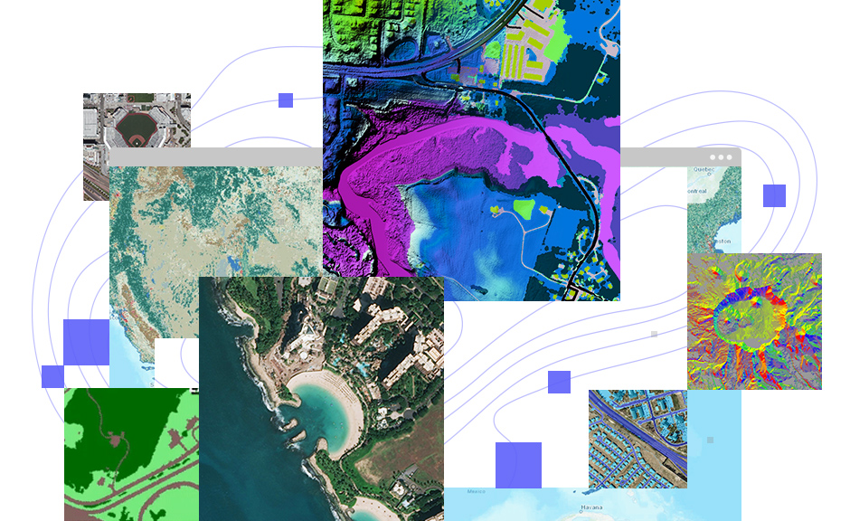
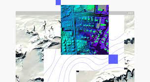
ArcGIS Image for ArcGIS Online is a specialized extension of ArcGIS Online that focuses on managing, analyzing, and sharing imagery and remotely sensed data. Its design enables it to handle massive collections of imagery and offers a user-friendly interface for conducting advanced geospatial analysis.
Related: ArcGIS Image: An Easier Way to Work with Imagery and Raster Data

Key features and benefits
Here are some key features and benefits of this tool:
Easy Data Management
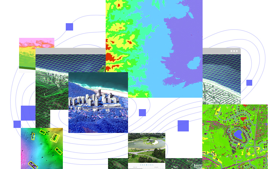
ArcGIS Image simplifies the organization and management of your imagery. You can upload, store, and manage large volumes of imagery and raster data securely in the cloud.
Image Analysis Tools
It offers a suite of image analysis tools that allow you to perform tasks like change detection, land cover classification, and image enhancement. These tools are accessible through a web browser, making advanced image analysis accessible to a broader audience.
Scalability
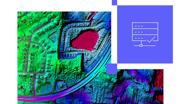
Whether you’re working with a small collection of images or vast archives, ArcGIS Image can scale to meet your needs. It’s design enables it to handle the processing and analysis of large datasets efficiently.
Collaboration and Sharing
You can easily share your imagery and analysis results with colleagues, stakeholders, or the public through web maps and apps created in ArcGIS Online. This promotes collaboration and data sharing within your organization and beyond.
Cloud-Based
Because ArcGIS Image operates in the cloud, you don’t need to worry about hardware and infrastructure management. Esri takes care of the backend, allowing you to focus on your analysis tasks.
Related: The Cloud-Based Solution for Geospatial Collaboration
Use cases
ArcGIS Image for ArcGIS Online has a wide range of applications across various industries:
- Agriculture: Monitor crop health, assess soil moisture, and detect crop diseases using satellite imagery and drones.
- Environmental Management: Analyze changes in land cover, track deforestation, and monitor natural disasters like wildfires and floods.
- Urban Planning: Evaluate urban sprawl, traffic patterns, and land use changes using high-resolution aerial imagery.
- Natural Resource Management: Assess forest health, inventory resources, and monitor wildlife habitats.
- Emergency Response: Quickly assess disaster-affected areas and plan response efforts using up-to-date satellite imagery.
Getting Started
To begin using ArcGIS Image for ArcGIS Online, you’ll need an ArcGIS Online subscription. Once you have access, you can start uploading your imagery, perform analysis, and share your findings with others. Esri offers comprehensive documentation and tutorials to assist you in getting started. Additionally, Esri’s user community and support resources are invaluable for troubleshooting and sharing knowledge.
ArcGIS Image for ArcGIS Online is a valuable tool that expands the capabilities of ArcGIS Online, making it easier to work with imagery and remotely sensed data. Whether you’re a GIS professional, researcher, or enthusiast, this feature can enhance your geospatial analysis and open up new possibilities for understanding our world through the lens of imagery. Explore its capabilities and see how it can benefit your specific projects and workflows. Learn more here