Transforming Census Operations with ArcGIS: The KNBS Success Story
The Kenya National Bureau of Statistics (KNBS), the country’s official statistics …
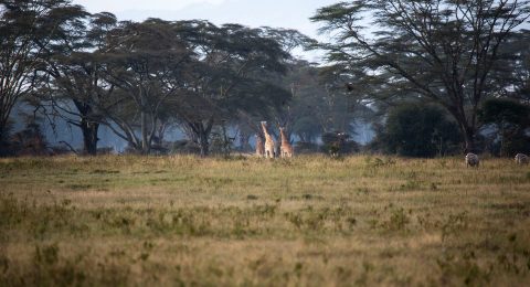
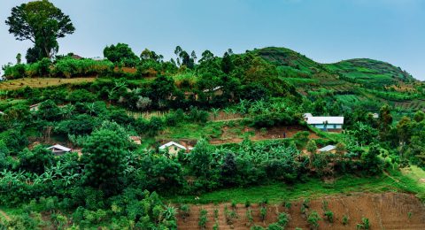
Building Stories in the Wild: A Week at Lake Nakuru National Park
In the heart of Kenya’s Great Rift Valley, Lake Nakuru National …
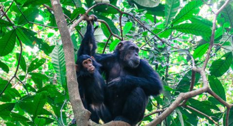
Tacare: Community Mapping Sparks a Global Conservation Movement
While the park remained lush, it was encircled by deforested hills …
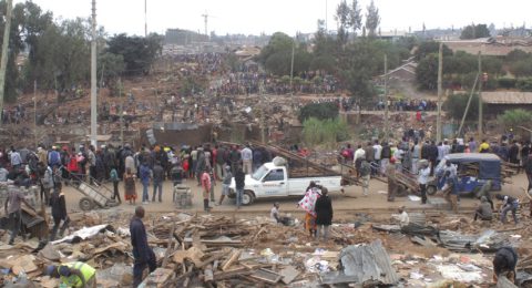
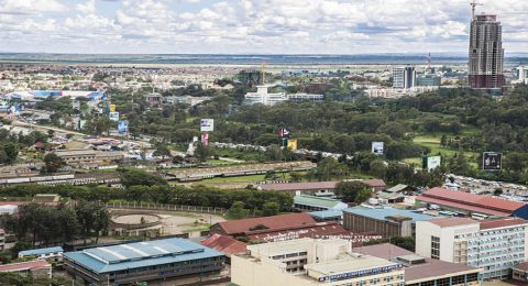
Nairobi: Spatial Data and Maps Empower Advocacy for the Urban Poor
In May 2020, during a COVID-19 lockdown in Nairobi, Kenya, approximately …
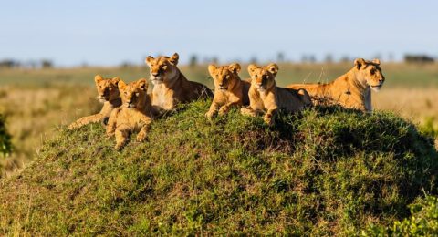
Born Free Uses Smart Maps to Protect Lions and Resolve Human-Wildlife Conflicts
In regions of Africa, lions frequently clash with livestock herders, leading …
Uganda Flying Labs: Safeguarding Coffee Farmers Against Risk
In Uganda, where coffee reigns as the largest export crop, the …
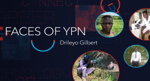
Drileyo Gilbert: The GIS Trailblazer Transforming Uganda’s Wildlife Conservation Landscape
In this edition, we focus on Drileyo Gilbert, a wildlife biologist …
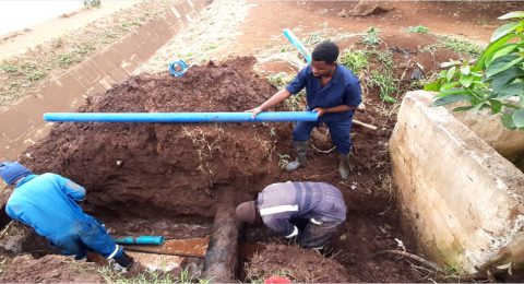
Maps and Apps Revolutionize Water Management in Arusha City
The Arusha Urban Water Supply and Sanitation Authority (AUWSA), entrusted with …
Kenyatta University: A Beacon of GIS Excellence in Eastern Africa
In a remarkable transformation, Kenyatta University in Nairobi, Kenya, rapidly evolved …
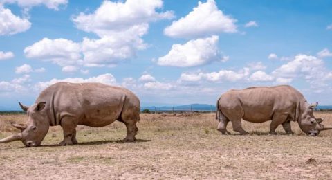
Real-Time Ecological Monitoring Safeguards Kenya’s Endangered Rhinos
Fatu and Najin, the last two northern white rhinos on Earth, …
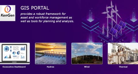
KenGen’s GIS Portal Fueling a Digital Transformation
This transformation was vital as KenGen faced the challenges of rapid …
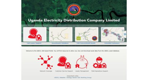
GIS Transforms Uganda’s UEDCL, Expanding its Mission
Challenges faced by the Ugandan electricity sector were multiple: aging assets, …
- 1
- 2