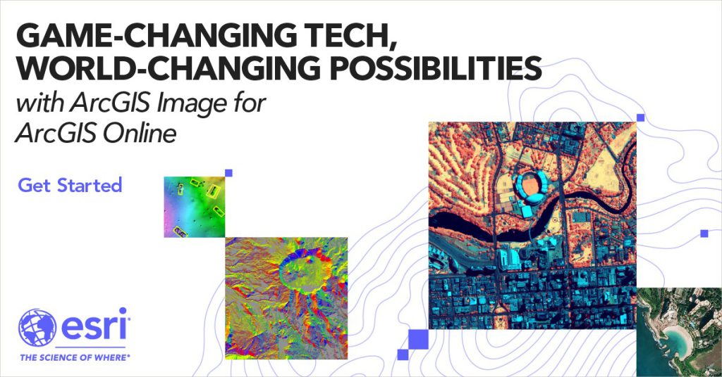
ArcGIS Image: An Easier Way to Work with Imagery and Raster Data
September 22, 2023 2023-09-22 21:07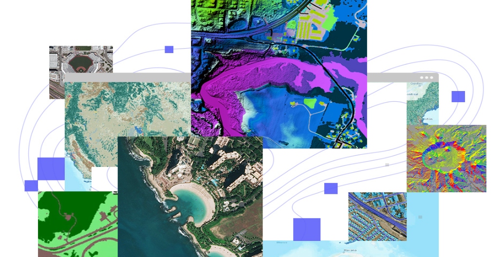
ArcGIS Image: An Easier Way to Work with Imagery and Raster Data
In today’s data-driven world, geographic information systems (GIS) play a pivotal role in helping us make sense of complex spatial information. Among the many tools available, ArcGIS stands out as one of the most comprehensive and widely used GIS platforms. Within the ArcGIS ecosystem, there’s a powerful tool known as ArcGIS Image that makes working with imagery and raster data a breeze. In this article, we’ll explore what ArcGIS Image is and how it simplifies the process of handling imagery and raster data.
Understanding ArcGIS Image
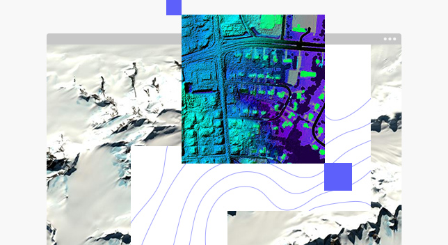
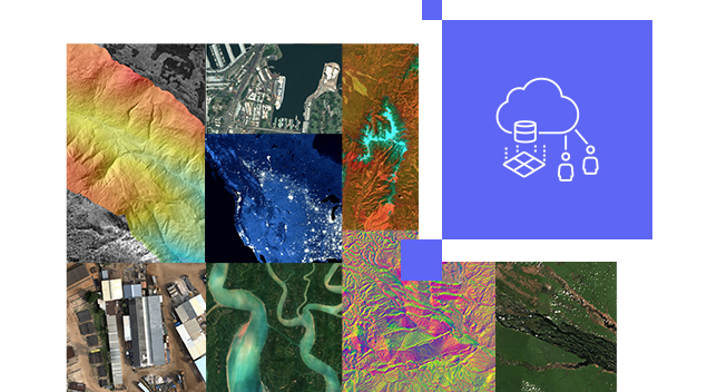
ArcGIS Image is an extension of ArcGIS that specializes in handling and analyzing imagery and raster data. Raster data is a type of spatial data that is represented as a grid of cells, where each cell contains a value or attribute. Imagery, such as satellite or aerial photos, is often stored as raster data. ArcGIS Image provides tools and workflows to effectively manage, process, and analyze these types of data, unlocking valuable insights for a wide range of applications, including agriculture, urban planning, environmental monitoring, and more.
Key Features of ArcGIS Image
Here are some key features of ArcGIS Image:
Advance image processing
ArcGIS Image offers a suite of advanced image processing tools, making it easy to enhance and manipulate imagery. You can perform tasks like image classification, change detection, and object detection to extract valuable information from your imagery.
Orthorectification
Ensuring the accuracy of spatial data is critical in GIS, and ArcGIS Image excels in this aspect. It allows you to orthorectify imagery, correcting distortions caused by terrain variations and sensor characteristics, resulting in highly accurate georeferenced images.
Mosaic datasets
Handling multiple images or datasets is a common requirement in GIS projects. ArcGIS Image provides mosaic datasets, a powerful tool for managing and organizing large collections of imagery. Mosaic datasets allow you to efficiently store, display, and analyze vast amounts of data seamlessly.
Deep learning integration
In recent years, deep learning has revolutionized image analysis. ArcGIS Image integrates with deep learning frameworks, allowing you to train and deploy custom deep learning models for tasks like image classification and object detection, enhancing your analysis capabilities.
Cloud integration
With the growing popularity of cloud computing, ArcGIS Image is designed to work seamlessly with cloud platforms such as Microsoft Azure and Amazon Web Services (AWS). This means you can leverage the scalability and storage capabilities of the cloud to handle large imagery datasets.

Benefits of Using ArcGIS Image
Here are some benefits of ArcGIS Image:
Streamlined workflow
ArcGIS Image provides a user-friendly interface that simplifies complex image processing tasks. This enables GIS professionals to be more productive and reduces the learning curve for newcomers to the field.
Enhanced decision-making
By harnessing the power of imagery and raster data, ArcGIS Image enables organizations to make data-driven decisions with confidence. Whether it’s assessing crop health, monitoring deforestation, or analyzing urban expansion, the insights gained from imagery can inform more effective policies and strategies.
Interoperability
ArcGIS Image seamlessly integrates with other ArcGIS tools and extensions, creating a holistic GIS environment. This interoperability ensures that your imagery and raster data can be easily incorporated into larger GIS projects.
Scalability
As data volumes continue to grow, ArcGIS Image’s cloud integration ensures that your GIS infrastructure can scale to meet your needs without the burden of costly hardware investments.
ArcGIS Image is a game-changer for GIS professionals and organizations that rely on imagery and raster data for decision-making and analysis. Its advanced tools, cloud integration, and user-friendly interface make it easier than ever to work with these complex data types. Whether you’re in agriculture, urban planning, environmental management, or any other field that relies on spatial data, ArcGIS Image can help you unlock the potential of your imagery and raster data, paving the way for more informed and impactful decisions. So, if you’re looking for an easier way to work with imagery and raster data, ArcGIS Image is definitely worth exploring.