Turning Drone Imagery to Geospatial Intelligence
August 11, 2022 2022-08-12 7:54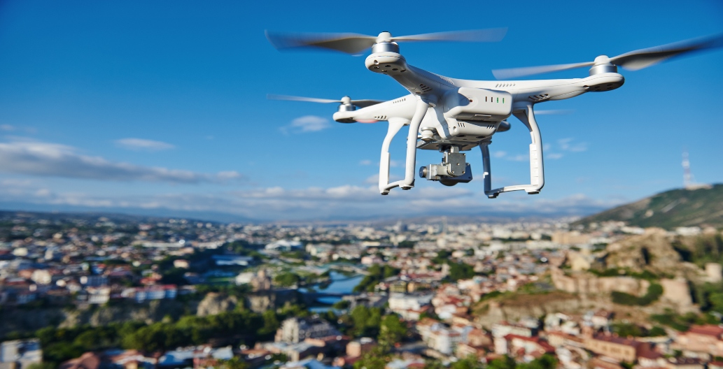
Turning Drone Imagery to Geospatial Intelligence
Drones are changing how we work in practically every aspect, and the possibilities for their use are only limited by our creativity. They have proven to be helpful tools in a variety of industries, but so are phones and computers and all the other inventions that happen every day. So, what makes drones so unique from all the other inventions? This article provides insights on turning drone imagery to geospatial intelligence.
But first, what is geospatial intelligence?
Geospatial intelligence is information derived from an examination of pictures and data connected to a specific place. Geospatial intelligence employs imagery to examine and evaluate human behavior and physical geography anywhere on Earth. In other words, it is used to address spatial issues.
With the adoption of drone technology in different fields, GIS is leveraging drone imagery in creating contemporary GIS applications and for keeping GIS data current by capturing high resolution imagery.
Why are drones important?
- Different industries have used drone technology to capture high spatial/spectral resolution and current (temporal) data
- Drones have decreased the high cost of gathering geospatial data
- Drones have made it easier to capture imagery in hazardous environments
Who uses drones?
Drones can be used in all industries from AEC/infrastructure, governments, and mining to public safety. Below are a few examples of how different industries are turning drone imagery to geospatial intelligence:
Forestry and Agriculture
More farmers are embracing technology and practices to lower costs, boost yields, and eventually raise their return on investment (ROI). With drones, farmers now have the ease of inspecting crops from fresh angles and with regularity that was impossible before. They’re able to pinpoint problems and diseases in the field and correct these diseases and flaws before they become expensive. In forestry, drones can be used in forest mapping and biodiversity, 3D mapping for carbon storage, and forest security.
AEC (Architecture, Engineering and Construction)/ infrastructure
The use of drones for surveying is one practical advantage of their use in architecture. A drone is the best instrument for getting to regions that are challenging to get because of its small size and simple agility. Drone aerial photography enables an architect and a client to envision what the finished result will look like. In engineering drones help in project management and project monitoring. You don’t need to be physically present; a drone may check on and keep track of a building project’s progress.
Emergency services
Drones have already been successful in search and rescue operations, according to several success stories. Drones mostly serve the purpose of surveillance in law enforcement. They serve as the eyes for keeping a watch on the system and hunting down criminals.
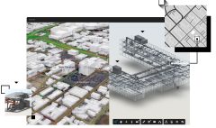
ArcGIS Drone Solutions
Esri provides you with two main ArcGIS Drone solutions
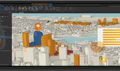
ArcGIS Drone2Map
It’s a Desktop based drone imagery processing solution which allows you to process the drone images that have been captured and do quick analysis on the imagery. It allows you to turn raw still imagery from drones into valuable information products in ArcGIS.
It also allows you to share the information on ArcGIS Online and ArcGIS Enterprise account.
ArcGIS Site Scan
It’s an end-to-end cloud-based drone imagery processing solution that allows you to process your images, do analysis and management in the cloud. Site Scan provides drone flight planning, fleet management, image processing and analysis capabilities as Software as a Service (SaaS).
It consists of two components:
- Site Scan Flight planning and control application
- Site Scan Manager
To learn more about turning drone imagery to geospatial intelligence, watch our webinar https://youtu.be/zzfZlklVIpc
You can also purchase ArcGIS products online https://ea-store.esri.com/en-ke/store/overview