3 Things ArcGIS Drone2Map can do for you
June 21, 2022 2022-10-03 9:293 Things ArcGIS Drone2Map can do for you
3 Things ArcGIS Drone2Map can do for you
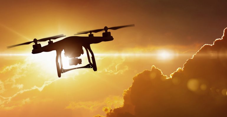
Today, the traditional field data gathering and imagery-production workflows are being transformed by drone technology. Drones are increasingly becoming a common way to capture high-resolution imagery of local areas.
ArcGIS Drone2Map is a desktop application that converts drone still imagery into useful information products in ArcGIS. With the advent of more affordable drone hardware, you can now make 2D and 3D maps of features and places that are difficult to access or fully cover due to size or topography.
Here are three things ArcGIS Drone2Map can do for you or your organization:
- Streamlining imagery workflows
ArcGIS Drone2Map can help you or your organization to save time, money, and improve the speed of operation when it comes to field work and data collection. Drone2Map provides a streamlined way to turn raw drone imagery into high quality products that are designed to work throughout the ArcGIS platform in less time. The software allows you to publish in ArcGIS Online for sharing with people from different locations to collaborate in real time.
- Creating 2D and 3D products
Drone2Map in ArcGIS lets you converts raw still imagery collected by drones into professional-quality orthomosaics, digital surface models, multispectral indices and 3D meshes. This can help you add value to your drone-collected data and information and uncover insights buried in your imagery.
- Inspecting assets
You can use drone photography to investigate critical infrastructure and equipment in regions that are tough to reach. Organizations such as construction companies, airports, communications, and oil or gas companies conduct frequent inspections to verify if their equipment is in safe operation order. ArcGIS Drone2Map allows you to process oblique imagery and displays this imagery in a viewer that enables interaction with the map to quickly orient yourself with the equipment being inspected..
ArcGIS Drone2Map can also be used to monitor environmental changes, natural disaster impacts, upcoming events, and so on. It can assist your company in reaping the benefits of this developing technology as drones continue to revolutionize how work is done today. Aerial imaging collection, processing, and use can all be done at a lower cost for your company.
Visit our online store to make a purchase https://ea-store.esri.com/en-ke/store/overview


