Empowering Communities Through GIS #RIC2023
August 17, 2023 2023-08-17 13:21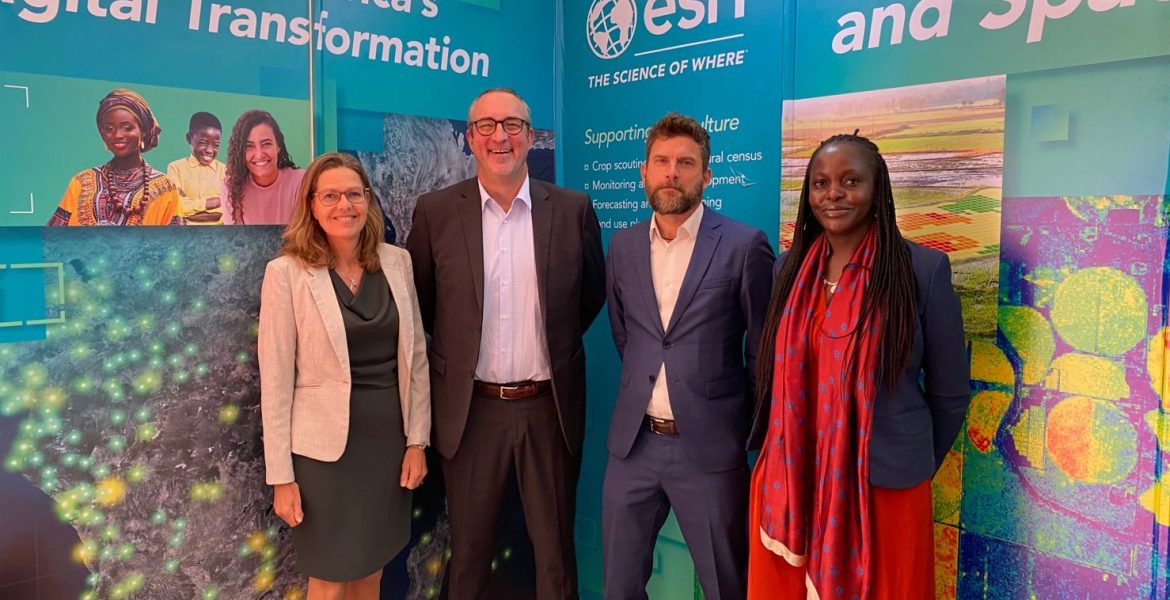
Empowering Communities Through GIS #RIC2023
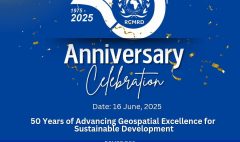
Every year, the Regional Center for Mapping of Resources for Development (RCMRD) hosts a conference. The conference brings together thousands of participants and provides an excellent platform of how geo-science can effectively be used to inform policy. This year’s event spanned from 8th to 10th August with the theme “NEXT LEVEL: Space to Community,” which aimed to bridge the gap between space-based technologies and the communities they serve, reflecting the growing synergy between cutting-edge technology and grassroot impacts.
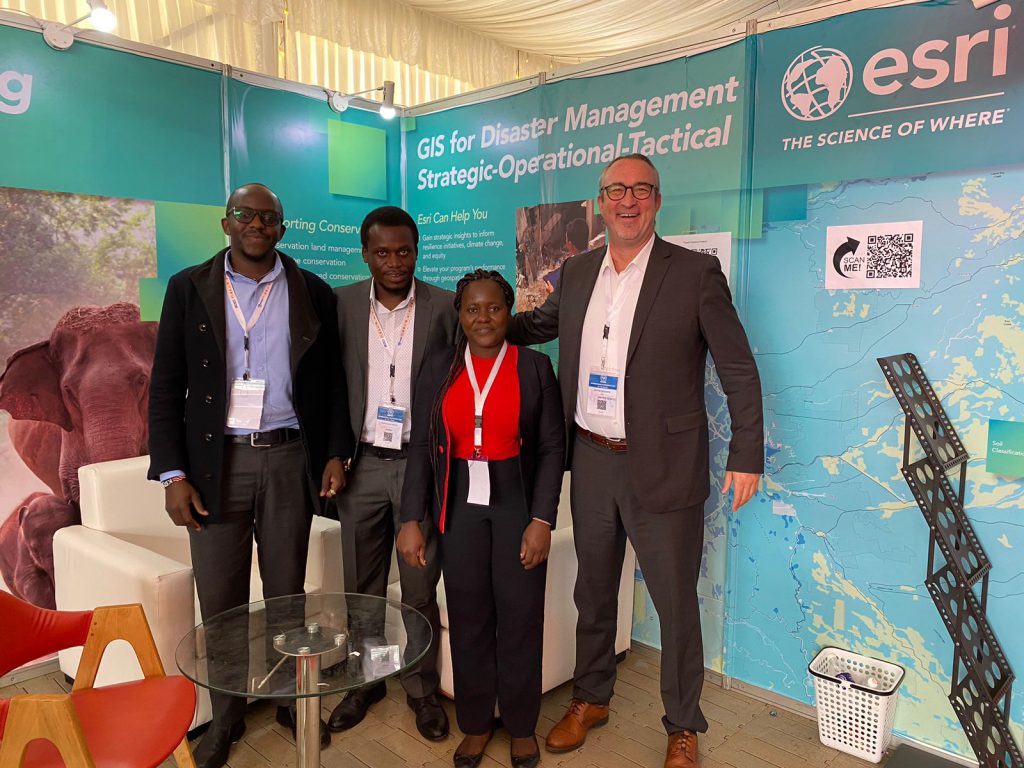
Esri’s presence at the conference was marked by a series of enlightening presentations that showcased the organization’s commitment to utilizing GIS for the betterment of society. Olivier, one of Esri’s seasoned experts, took the podium and passionately discussed disaster risk management (DRM). He emphasized the critical part that GIS plays in proactive catastrophe management with a mesmerizing blend of images and practical examples. His presentation shed light on the revolutionary potential of using spatial data to anticipate, plan for, and lessen the effects of natural disasters.
Pauline Okeyo’s presentation revealed a wealth of free resources, instruction, and tools offered by the Africa Geoportal. Her explanation of these resources excited the African User Community, who were eager to use this wealth of knowledge to advance their own initiatives and endeavors.
The integration of ArcGIS into the post-2020 UN Global Biodiversity Framework (GBF) was a major topic of David Gadsden’s presentation. His insights into how this potent tool could be used to track and monitor progress towards the ambitious goals established by the United Nations to protect our planet’s biodiversity enthralled the audience. David’s talk emphasized how technology may close the gap between international agreements and local implementation, fostering hope for a more sustainable future.
Lorien Innes took the stage to shed light on the intricate intersection of space data, GIS technology, and agricultural subsidy management. The difficulties experienced by farmers in Africa because of conflicts and climate change were eloquently depicted in Lorien’s presentation. She outlined how GIS technology may enable agricultural communities to manage subsidies and inputs effectively, promoting food security even in the face of adversity, with eloquence and precision.
The Esri team left an indelible mark on the minds of attendees. Their presentations weren’t just technical demonstrations; rather, they were potent tales that showed the way to a future that is more resilient, connected, and sustainable. The participation of Esri team at the RCMRD conference served as a shining example of how cutting-edge technology and the quest for a better world can exist harmoniously, supporting the conference’s overarching theme of “NEXT LEVEL: Space to Community” in every way.