Home
June 8, 2022 2025-02-26 11:24Home

Announcement of an Acting CEO at Esri Eastern Africa
 Rachael Mutuli
 June 6, 2023
We request that you all join us in welcoming Mr. Samuel Kimani in our midst as of 2nd June 2023….
Read More
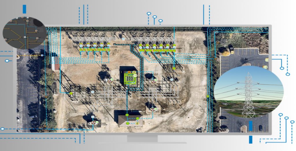
ArcGIS for Electric Utilities; optimizing grid performance & maintenance
Rachael Mutuli
June 6, 2023
The electricity grid is the backbone of modern society, powering homes, businesses, and industries. Ensuring the reliable and efficient…
Read More

ArcGIS Workflow Manager: Streamlining GIS Workflows for Greater Efficiency

ArcGIS Workflow Manager is a powerful extension of Esri’s ArcGIS platform that enables organizations to define, manage, and execute…
Read More
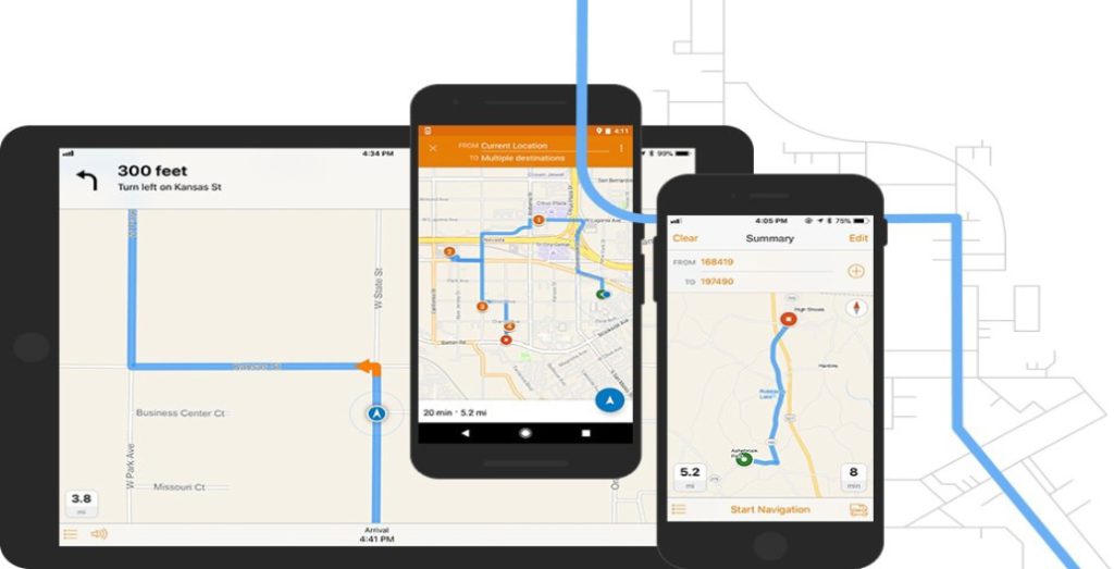
ArcGIS Navigator: The Ultimate GPS Navigation Solution
Rachael Mutuli
June 6, 2023
In today’s fast-paced world, where time is of the essence and efficiency is paramount, having a reliable GPS navigation solution…
Read More
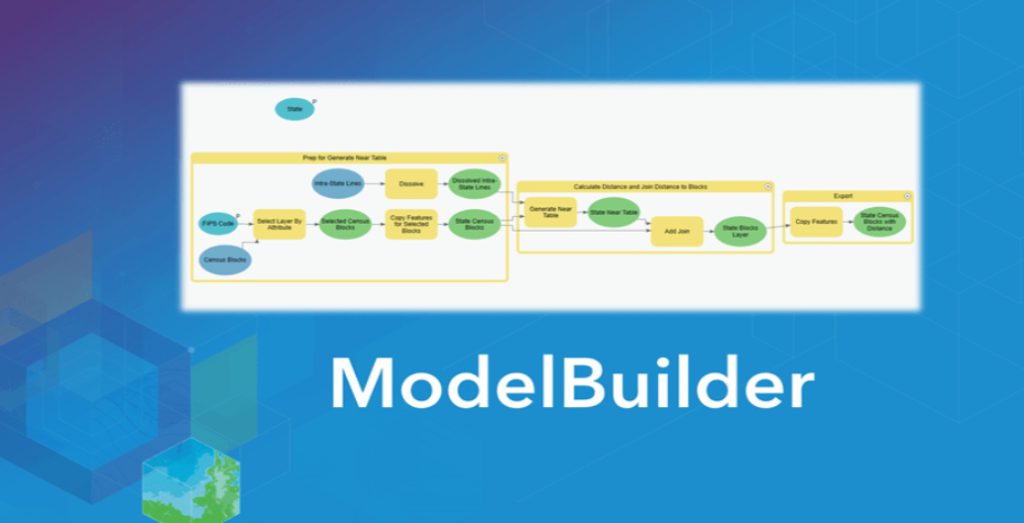
Exploring ArcGIS ModelBuilder for GIS Professionals
Rachael Mutuli
June 2, 2023
Spatial modeling plays a crucial role in Geographic Information Systems (GIS) by enabling professionals to automate complex geoprocessing tasks
Read More
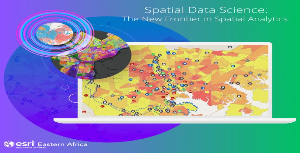
Spatial Data Science: Extract Insights and Make Data-Driven Decisions
Rachael Mutuli
June 2, 2023
In today’s digital age, vast amounts of data are being generated every second from various sources, ranging from sensors and…
Read More

Five Powerful Capabilities of ArcGIS 3D Analyst
Rachael Mutuli
June 2, 2023
ArcGIS 3D Analyst provides a suite of tools to create and analyze 3D terrain, enabling users to understand the topography…
Read More

Aegir Consult Awarded Esri’s System Ready Specialty
Rachael Mutuli
May 5, 2023
In December 2022, Aegir Consult was officially recognized as part of the ArcGIS System Ready Specialty. This accreditation is…
Read More

Top Ten Reasons Why Professionals Should Get GIS Training
Rachael Mutuli
March 27, 2023
In today’s data-driven world, professionals across a wide range of industries need to be able to analyze and interpret spatial…
Read More
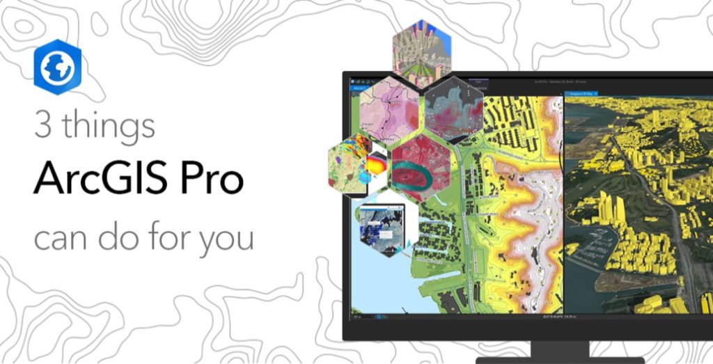
3 Things ArcGIS Pro Can Do for You
Rachael Mutuli
February 17, 2023
ArcGIS Pro has a modern and intuitive user interface that allows users to work more efficiently with maps, data, and…
Read More

Helping farmers see the bigger picture.
Any farmer knows that their success or failure can hinge on a single good season. But how often do they…
Read More

Bringing Together the Power of GIS
Rachael Mutuli
February 3, 2023
Friday 16th September 2022, Esri Eastern Africa and GIS limited entered a Memorandum of Understanding.
Read More

Esri Eastern Africa and Fahari Aviation Take to the Skies
Rachael Mutuli
February 3, 2023
Wednesday 27 July 2022, Esri Eastern Africa, and Fahari Aviation (FAV) entered a Memorandum of Understanding (MoU) towards closer collaboration.
Read More

Harness the power of spatial analytics
Imagine a world in which companies could improve their execution processes by dynamically calculating, assessing, and refining the way they…
Read More
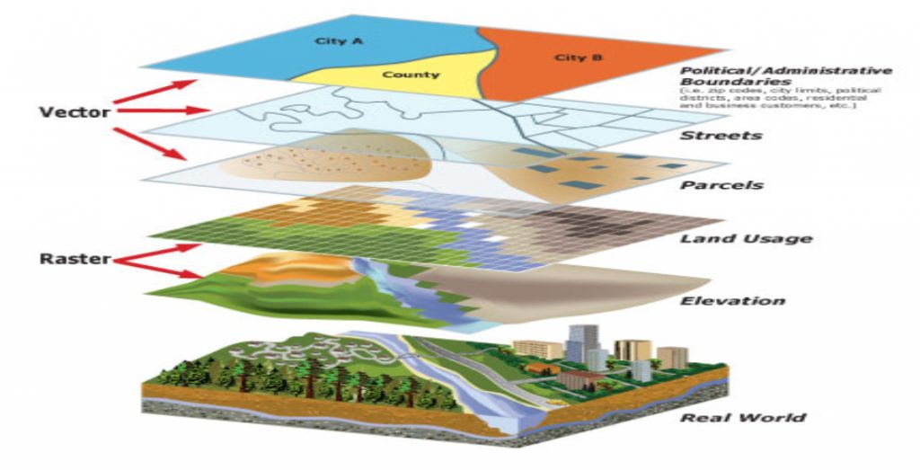
Know your options when it comes to GIS data formats
Rachael Mutuli
December 13, 2022
This article will get you started by teaching you about several commonly used GIS file formats for vector data and…
Read More