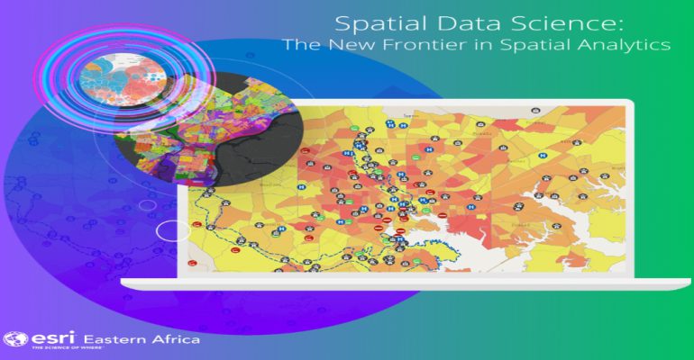
Spatial Data Science: Extract Insights and Make Data-Driven Decisions
June 2, 2023 2023-06-02 13:23Spatial Data Science: Extract Insights and Make Data-Driven Decisions
In today’s digital age, vast amounts of data are being generated every second from various sources, ranging from sensors and satellites to social media and online platforms. The challenge lies in extracting meaningful insights from this wealth of information to inform critical decisions and solve complex problems. This is where the field of spatial data science comes into play, utilizing the power of ArcGIS to analyze, model, and visualize spatial data. In this article, we explore how ArcGIS empowers users to extract insights from spatial data and leverage them for making strategic choices.
Related: Harness the Power of Spatial Analytics
How ArcGIS empowers users to extract insights and make data-driven decisions
Here is how ArcGIS empowers users to extract insights from spatial data and leverage them for making strategic choices:
Seamless integration of geospatial and non-spatial data
ArcGIS provides a comprehensive platform for integrating geospatial and non-spatial data seamlessly. It allows organizations to uncover relationships, patterns, and correlations that were previously hidden by combining diverse datasets. Spatial Data Science in ArcGIS allows users to overlay demographic, environmental, and economic data onto spatial layers, enabling a holistic analysis and a deeper understanding of complex systems. This integration lays the foundation for making data-driven decisions that consider spatial context.

Advanced spatial analysis and modeling
ArcGIS offers a wide range of advanced spatial analysis and modeling tools that enable users to extract meaningful insights from spatial data. With tools like spatial clustering, hot spot analysis, network analysis, and spatial regression, users can uncover patterns, trends, and spatial relationships within their datasets. By leveraging these capabilities, organizations can gain valuable insights into market dynamics, resource allocation, transportation networks, risk assessment, and more. Spatial Data Science in ArcGIS enables the development of sophisticated models that support decision-making processes and drive strategic planning.
Interactive visualization and storytelling
One of the strengths of ArcGIS is its ability to visually communicate complex spatial information. Through interactive maps, data visualizations, and storytelling techniques, users can effectively communicate insights and engage stakeholders. ArcGIS provides a user-friendly interface for creating compelling visualizations, allowing users to present their findings in a visually appealing and accessible manner. By visualizing data on maps, users can effectively convey spatial patterns, identify outliers, and communicate trends, fostering a deeper understanding among decision-makers and facilitating data-driven decision-making processes.
Collaboration and sharing of spatial data
ArcGIS offers robust collaboration and sharing features, allowing users to collaborate on projects, share data, and disseminate findings easily. Spatial Data Science in ArcGIS enables teams to work together on analyzing and interpreting spatial data, facilitating knowledge exchange, and fostering collaborative decision-making. The platform provides options for sharing interactive maps, geospatial datasets, and analytical workflows, enabling stakeholders to access and explore the insights generated by the Spatial Data Science processes.
Spatial Data Science, empowered by ArcGIS, is revolutionizing the way organizations leverage spatial data to make data-driven decisions. It provides organizations with the tools they need to extract valuable insights, gain a competitive edge, and make informed decisions that drive success in a spatially interconnected world.
Click here to buy ArcGIS products online.


