Home
June 8, 2022 2025-02-26 11:24Home

Connected Summit 2022!
 Rachael Mutuli
 October 12, 2022
ICT is the broadest enabler of GIS. Today, traditional manual or automated cartography procedures are far less versatile than the…
Read More
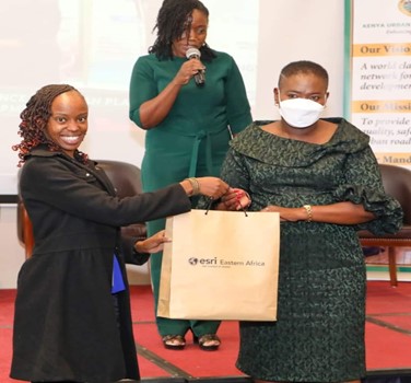
Esri EA attends Kenya Institute of Planners 1st Regional Conference
Rachael Mutuli
October 12, 2022
On March 31st and April 1st, 2022, Esri EA, attended the first Kenya Planners Regional (KIP) Conference in Nakuru.
Read More

Meet Our Q3 Interns

Every Quarter Esri Eastern Africa offers internship and attachment opportunities to students and graduates, from different Eastern Africa countries that…
Read More

Climate change is a spatial issue
Rachael Mutuli
October 12, 2022
Climate change is one of the biggest environmental concerns of the 21st century. Anyone who has spent any time digital…
Read More

Maps for Marketers
Maps allow you to visualize where exactly your customers and competition are located. These maps can be further enriched with…
Read More
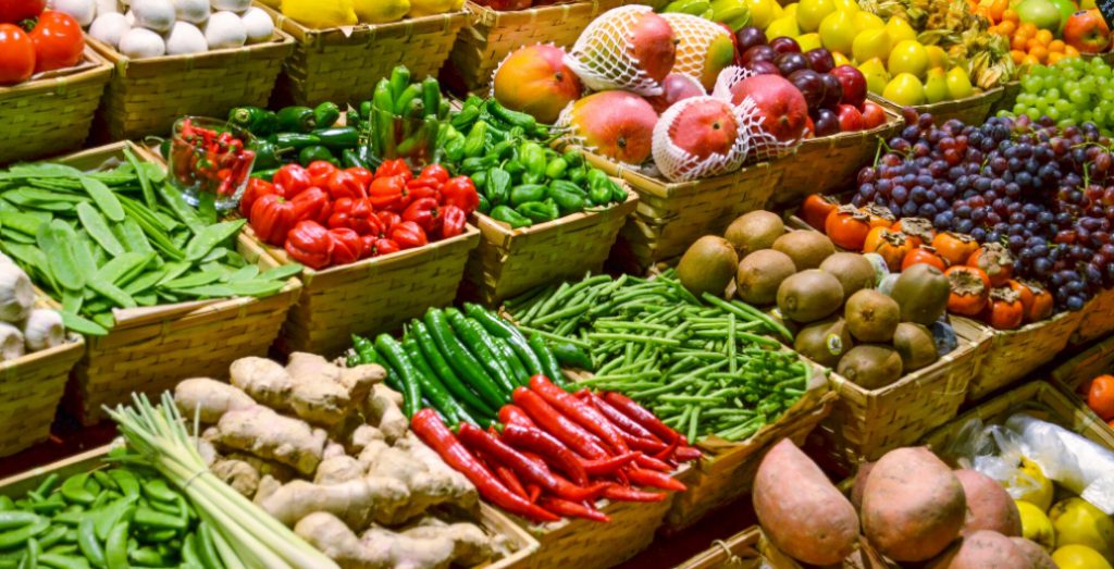
Promoting Sustainable Agriculture
Rachael Mutuli
October 5, 2022
GIS offers an incredible array of benefits to agriculture because it uses modern technology to produce accurate maps, a better…
Read More

Smarter Solutions for a Smarter Future
Rachael Mutuli
September 21, 2022
By analyzing and combining location data streams and visualizing concepts for everyone, GIS mapping creates billions of complex maps, fusing…
Read More
ArcGIS Geostatistical Analyst Extension
Rachael Mutuli
September 19, 2022
ArcGIS Geostatistical Analyst lets you make accurate predictions about an area based on sample data points. You can explore spatial…
Read More

Location – Driven Market Insights: A Roadmap to Intelligent Business Development!
Rachael Mutuli
September 15, 2022
Location intelligence is the methodology of deriving insights from location data to answer spatial questions.
Read More
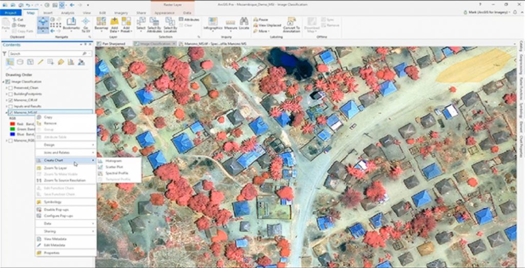
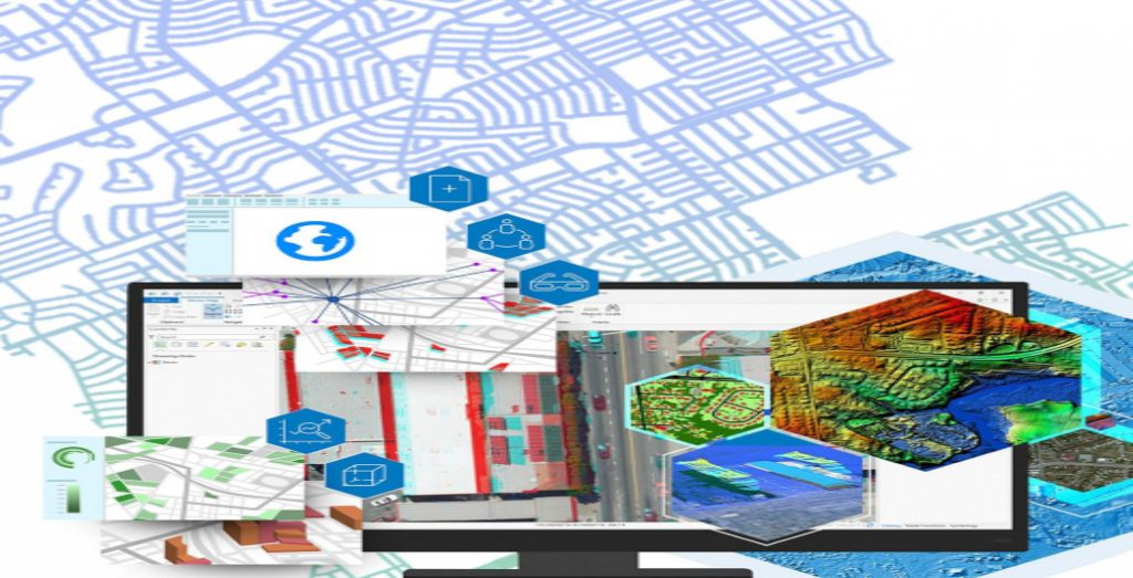
Raster Analysis Using ArcGIS Pro
With this software, you may run custom algorithms on big collections of raster data by applying basic raster processing tools…
Read More
A Spatial Perspective for Resilient, Contemporary and Sustainable Infrastructure
Rachael Mutuli
August 30, 2022
Here’s why tackling the life cycle of infrastructure initiatives requires a spatial approach.
Read More

Digitally Transforming the Future Natural Resources
Just as the rest of the world is now beginning to understand the importance of paying more attention to the…
Read More

Why Teach with GIS?
Rachael Mutuli
August 26, 2022
As the world struggles with complicated issues such as famine, drought, population growth and COVID-19, higher education institutions must keep…
Read More

Automation of Dynamic Data Updates from Google Spreadsheets
Rachael Mutuli
August 24, 2022
Automation of data is a rising trend in the GIS industry to reduce workflow processes..
Read More

Pushing the Boundaries of Geography
Rachael Mutuli
August 23, 2022
While Geography gives you a deeper understanding of today’s most challenging issues such as health, natural resources, climate, and population….
Read More