Pushing the Boundaries of Geography
August 23, 2022 2022-08-23 13:47Pushing the Boundaries of Geography
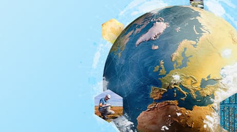
Geography asks major questions like “Where? How? Why?” and “What if?” GIS offers you the perspective to answer these questions with cutting-edge technology and a thorough understanding of the world we live in. The increasing need for the application of advanced digitization solutions facilitate a collaborative workflow across all sectors and GIS is making it easier to understand the impact of infrastructural development on natural resources. “GIS is waking up the world to the power of geography, this science of integration has the framework for creating a better future.” ~ Jack Dangermond, 2015 Esri User Conference
While Geography gives you a deeper understanding of today’s most challenging issues such as health, natural resources, climate, and population. GIS allows you to visualize, understand, question, and interpret data in many ways that deliver insights in form of maps. GIS technology uses maps to connect stories to actual locations on earth. The software lets you move beyond the traditional idea of a map, combining narrative text, images, videos, and other content to effectively tell your story.
Geography focuses on the evolving character and the organization of the Earth’s surface on the ways in which the interaction between human and physical phenomena creates distinctive places and regions and the influence these places have on natural resources. It’s required to maintain a steady stream of accurate, timely, and valuable information about the rest of the globe, but it’s more than just a database of geographic information. Geography raises questions like; how and why do commodities, money, information, and power flow from one place to another? What attributes of a location make it more economically successful than another? What activities should be made to boost economic development at the national, regional, and local levels? What is the relationship between global economic and environmental change?
GIS identifies these questions, visualizes them, and connects present-day environmental inequalities to redlining policies. In today’s competitive market, effective businesses pay attention to and comprehend what matters most to their customers and GIS technology can help with this.
For example, geography gives you a general overview of your client’s location, GIS allows you to analyze, appraise, and comprehend your marketing and promotions in more depth. Analyze demographic, psychographic, purchasing, and spending factors to accurately segment your clients and find more like them. Improve marketing outreach, campaign performance, and brand interaction to optimize your retail network and increase sales from every outlet. Location analytics is critical to the creation, evolution, and expansion of all sectors of business.
Geography publishes natural resource information on research findings in the fields of geography, economics, and population. It covers a wide range of geographical aspects related to solving major economic problems, with a particular emphasis on regional nature management and environmental protection. GIS is confronting natural resource issues like floods, drought, earthquakes, perform forecasting, and monitor change. For instance, biologists use GIS to track animal migration patterns or understand the bird population. By analyzing soil erosion and soil health, GIS also helps farmers to understand when and where to plant certain crops.
This technology is helping push the boundaries of geography in unimaginable ways. Visit our online store https://ea-store.esri.com/en-ke/store/overview to make a purchase of ArcGIS products.


