Smarter Solutions for a Smarter Future
September 21, 2022 2022-10-17 10:11
Smarter Solutions for a Smarter Future
For thousands of years, maps have helped us comprehend our location, from hand-written parchments to navigational apps. Today’s high-tech maps can help us with much more, from managing supply chains to detecting pandemics, controlling wildfires, and even creating new businesses. Maps help us make smart decisions that may follow through to future generations.
By analyzing and combining location data streams and visualizing concepts for everyone, GIS mapping creates billions of complex maps, fusing big data, AI, and an ecosystem of apps to offer a place-based perspective to the world’s most challenging issues.
With this technology, we can understand how different locations affect businesses or how insurance companies can help manage claims and determine risks. So how is this smart technology ensuring a smarter future? Read on to find out how
Safe public practices
By consolidating all relevant data in one location, GIS can simplify overall risk management – even across different government agencies. This facilitates the timely and economic decision-making of officials using data. GIS technology enables law enforcement to map criminality. By compiling information on crime hotspots, GIS may identify hotspots on municipal maps, allowing law enforcement to more effectively halt or prevent crimes from occurring in the first place.
Prepares for infrastructural upgrades
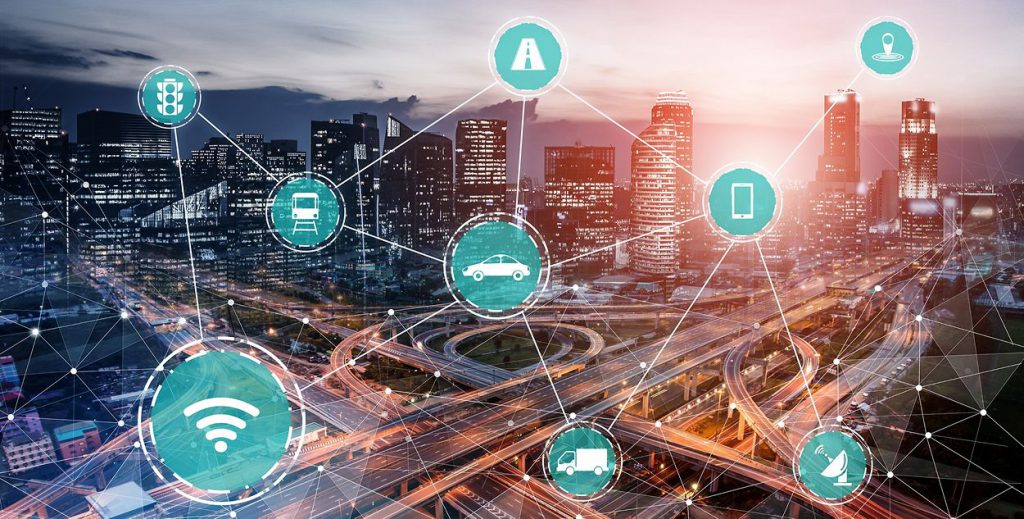
GIS can provide cities with a fast overview of traffic and insight into the modifications that need to be made to the traffic infrastructure. Data from collisions can be mapped to show where safety precautions should be taken. GIS applications can enable real-time updates on road conditions and alerts to various transportation-related problems. In the case of an accident or road closure, GIS sensors will even instruct the software to direct the rerouting and rescheduling of all private and public vehicles.
Promotes economic expansion
A city must promote economic growth if it wants to advance. Planning for infrastructure and services can assist towns in identifying regions of economic underdevelopment. GIS can provide entrepreneurs with the resources they need to comprehend local demographics and decide where to locate their company and how much advertising to spend.
Constructs better cities

City planners and local advocacy groups are using GIS to prioritize and identify the play areas that require the most funding. To determine the greatest need, you can use GIS to conduct a sustainability analysis, considering neighborhood walkability, socioeconomic data, and already-existing open spaces.
Ensures smart utilities
GIS may enhance services by assuring a constant supply of electricity, gas, water, and other utilities. GIS software can help in grid extension, repair, and construction by overlaying city maps with pertinent data on property lines and public rights of way using real-time satellite imagery. By calculating the order of jobs to be completed and informing adjacent professionals of the grid area that needs to be fixed, GIS can even automate the process of performing maintenance and repairs.
GIS offers solutions to many urgent problems that will improve our quality of life. GIS software assumes unique significance by making it possible for, among many other things, more sophisticated urban planning, increased public safety, and more interactive administrative management.
Discover how GIS is digitally transforming the future of natural resources.
You can now purchase ArcGIS products online. Click here