Helping farmers see the bigger picture.
February 7, 2023 2023-02-16 14:11Helping farmers see the bigger picture.
Helping farmers see the bigger picture.
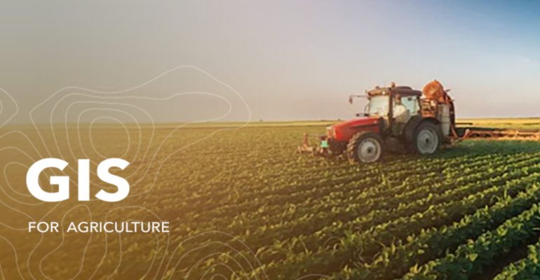
Any farmer knows that their success or failure can hinge on a single good season. But how often do they see the big picture before planting their seed? Think of your local farm as a small slice of the world. Before GPS, farmers relied on a map to tell them where they were, but not where they needed to be. That’s changing now that we have the power of GIS so we can actually see our farms from above. It helps farmers see their farms in an aerial view, which can help them identify issues that need immediate attention like crop yield or potential customers for their products.
GIS technology allows farmers to collect, store and analyze data about their fields in the following ways:
Data collection
GIS can be used to collect data from various sources such as satellite imagery, aerial photographs, and weather sensors. This data can be used to create detailed maps of fields, including information on soil quality, crop growth, and weather patterns.
Data storage
GIS software can store he collected data in a central location allowing farmers to easily access and manage the information. This data can be stored in a database or a GIS software allowing farmers to query, sort and analyze the data.
Data analysis
GIS software includes tools to perform advanced spatial analysis on the data. Farmers can use GIS to analyze data to identify patterns, trends, and relationships, such as the correlation between weather patterns and crop growth. This can help farmers make informed decisions about planting, irrigation, and fertilization.
Mapping
GIS can create detailed maps of fields, allowing farmers to visualize their land and resources. These maps can be used to plan and optimize operations, such as identifying areas of poor crop growth, or identifying potential problems with soil quality.
GIS technology allows farmers to gain a deeper understanding of their land and resources, and make more informed decisions that can improve crop yields, reduce costs, and increase efficiency.
You can now buy ArcGIS products online. Click here to buy.


Comments (2)
Elkana jowi sei
Wonderfull
Rachael Mutuli
Thank you