Home
June 8, 2022 2025-02-26 11:24Home
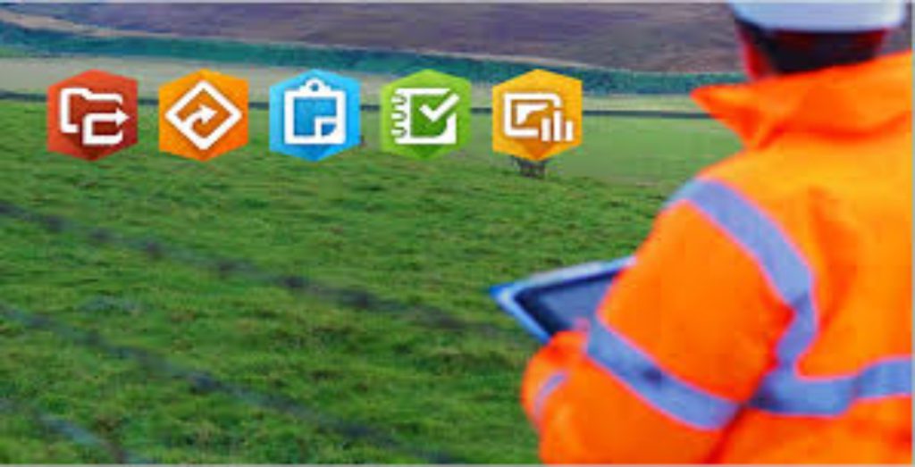
Maximizing Efficiency with ArcGIS Field Apps and Mobile Data Collection
 Rachael Mutuli
 August 29, 2023
In today’s fast-paced world, organizations across various industries are recognizing the transformative power of mobile technology
Read More
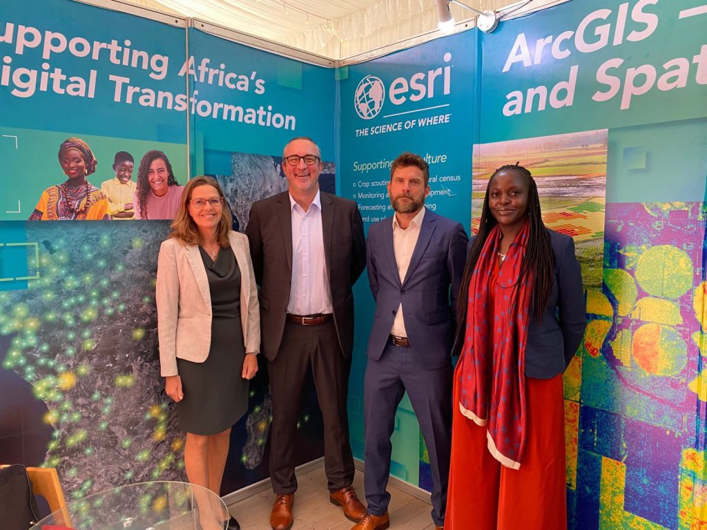
Empowering Communities Through GIS #RIC2023
Rachael Mutuli
August 17, 2023
Esri’s presence at the conference was marked by a series of enlightening presentations that showcased the organization’s commitment to utilizing…
Read More

Insights from Our Interns at Esri Eastern Africa
Rachael Mutuli
August 17, 2023
At Esri Eastern Africa, we believe in the power of learning, growth, and collaboration. Our commitment to fostering young talent…
Read More

Geospatial Networking at its Finest
Rachael Mutuli
August 16, 2023
Monday 10 July 2023, Esri Eastern Africa, the region’s leading geospatial solutions provider, set the stage for an unforgettable experience…
Read More

Esri Eastern Africa and Masinde Muliro University Form Strategic Alliance
Rachael Mutuli
July 31, 2023
January 2023, Esri Eastern Africa signed a Memorandum of Understanding with Masinde Muliro University (MMUST).
Read More
Getting Started with ArcGIS: A Beginner’s Guide to Mastering Geospatial Analysis
Rachael Mutuli
June 13, 2023
Geospatial analysis is a powerful tool that allows us to understand the world around us in a whole new way….
Read More
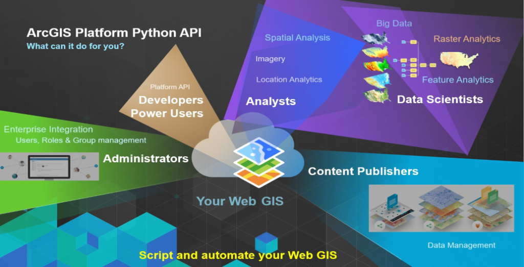
ArcGIS Python Automation: Streamlining Workflows for GIS Professionals
Rachael Mutuli
June 12, 2023
With ArcGIS Python automation, the focus can shift from mundane administrative tasks to more strategic analysis and decision-making, ultimately driving…
Read More
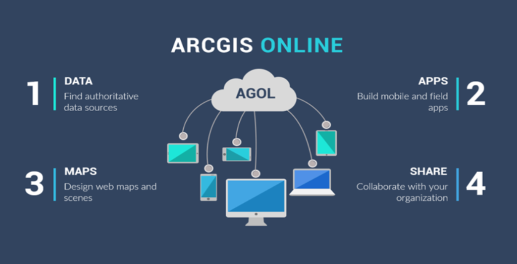
ArcGIS Online: Collaborative Mapping and Storytelling for GIS Professionals
Rachael Mutuli
June 12, 2023
In today’s interconnected world, collaboration and effective communication are key to successfully leveraging geographic information…
Read More
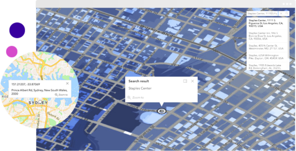
Geocoding and Geoprocessing: Enhancing GIS Analysis with ArcGIS Tools and APIs
Rachael Mutuli
June 9, 2023
Geocoding and geoprocessing are two fundamental techniques that enhance GIS analysis, enabling us to extract…
Read More

Harnessing the Power of Remote Sensing with ArcGIS

Remote sensing, the science of acquiring information about the Earth’s surface without direct physical contact, has…
Read More

Advanced Techniques Every GIS Professional Should Know
Rachael Mutuli
June 8, 2023
Geographic Information System (GIS) technology has transformed the way we analyze and interpret spatial data. As GIS professionals, we
Read More
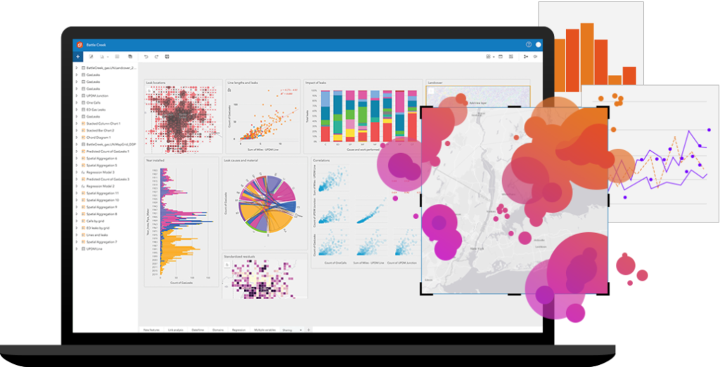
ArcGIS Insights: A Comprehensive Data Analysis Tool for GIS Professionals
In the realm of Geographic Information Systems (GIS), the ability to analyze and derive meaningful insights from spatial data is…
Read More
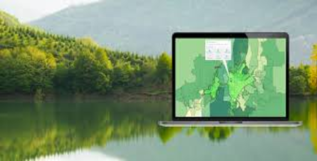
ArcGIS for Forest Monitoring: An Essential Tool for Environmental Conservation
Rachael Mutuli
June 7, 2023
Forests are vital ecosystems that provide numerous benefits, including carbon sequestration, biodiversity conservation, and resource sustainability…
Read More
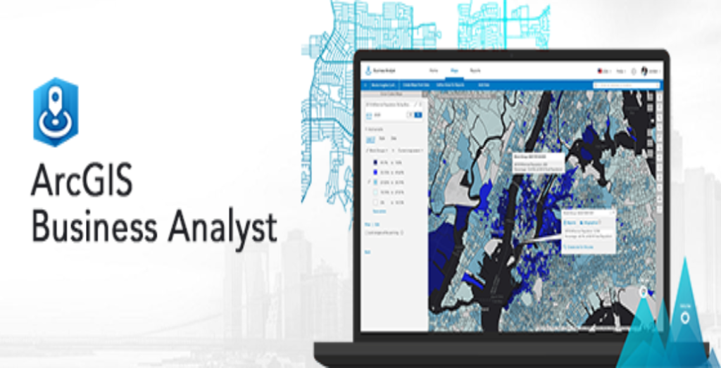
ArcGIS Business Analyst: A Powerful Tool for Market Analysis and Planning
Rachael Mutuli
June 7, 2023
In today’s competitive business landscape, making informed decisions is crucial for success. Market analysis and strategic…
Read More
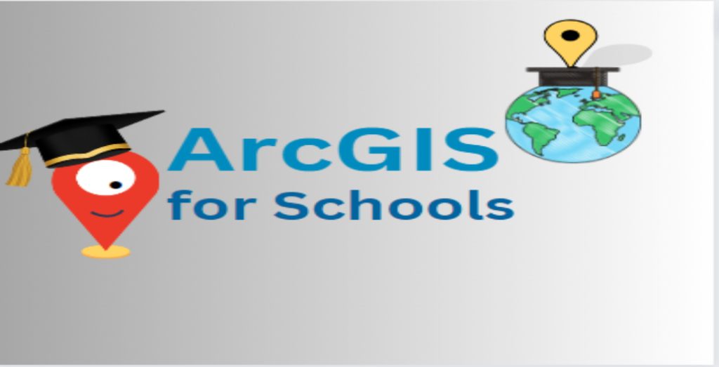
ArcGIS for Schools: Empowering the Next Generation of GIS Professionals
Rachael Mutuli
June 7, 2023
Geographic Information System (GIS) technology has become an essential tool in various industries, from urban planning to environmental…
Read More