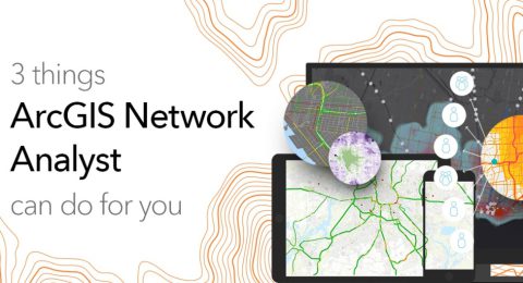
3 Things ArcGIS Network Analyst Can Do for You
ArcGIS Network Analyst is a versatile and powerful tool that brings …
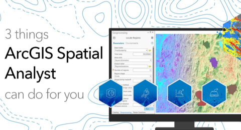
Three Things ArcGIS Spatial Analyst Can Do for You
ArcGIS Spatial Analyst is an extension for ArcGIS Desktop that provides …

ArcGIS Solutions: Unlocking the Power of Industry-Specific GIS
In today's fast-paced and data-rich world, location matters more than ever. …
Get to Know ArcGIS Image for ArcGIS Online
In the world of Geographic Information Systems (GIS), ArcGIS Online is …

ArcGIS Drone2Map: Do More with Your Drone Imagery
Drones have revolutionized the way we capture and analyze geographic information. …
ArcGIS Image: An Easier Way to Work with Imagery and Raster Data
In today's data-driven world, geographic information systems (GIS) play a pivotal …
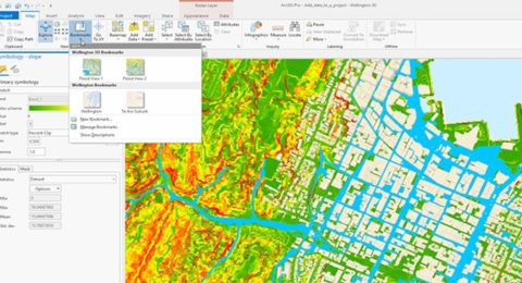
ArcGIS Pro Review: 15 Reasons to Map Like a Pro
Mapping has become an essential tool for various industries, from urban …

The Cloud-Based Solution for Geospatial Collaboration
In a world driven by data, location intelligence plays a pivotal …
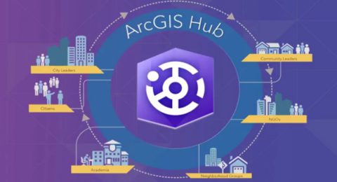
ArcGIS Hub: Empowering Collaborative Decision Making and Citizen Engagement
The power of data and technology is changing how communities, organizations, …

Smart Workplaces, Efficient Operations
In an age where technology is rapidly transforming the way we …
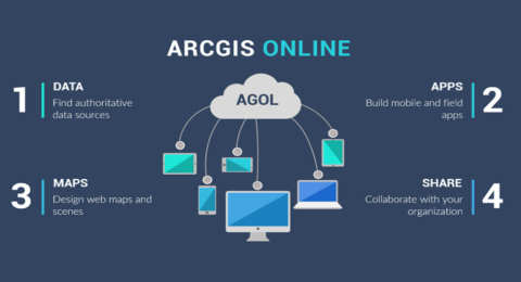
ArcGIS Online: Collaborative Mapping and Storytelling for GIS Professionals
In today's interconnected world, collaboration and effective communication are key to …
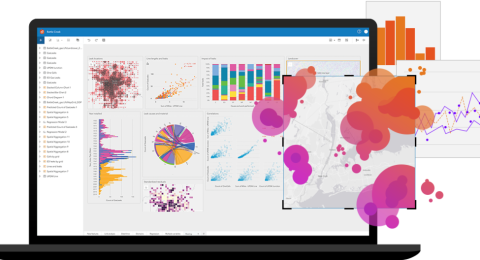
ArcGIS Insights: A Comprehensive Data Analysis Tool for GIS Professionals
In the realm of Geographic Information Systems (GIS), the ability to …