
ArcGIS for Schools: Empowering the Next Generation of GIS Professionals
Geographic Information System (GIS) technology has become an essential tool in …

Announcement of an Acting CEO at Esri Eastern Africa
We request that you all join us in welcoming Mr. Samuel …

ArcGIS for Electric Utilities; optimizing grid performance & maintenance
The electricity grid is the backbone of modern society, powering homes, …

ArcGIS Workflow Manager: Streamlining GIS Workflows for Greater Efficiency
ArcGIS Workflow Manager is a powerful extension of Esri's ArcGIS platform …

ArcGIS Navigator: The Ultimate GPS Navigation Solution
In today's fast-paced world, where time is of the essence and …

Exploring ArcGIS ModelBuilder for GIS Professionals
Spatial modeling plays a crucial role in Geographic Information Systems (GIS) …
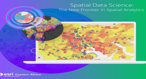
Spatial Data Science: Extract Insights and Make Data-Driven Decisions
In today’s digital age, vast amounts of data are being generated …

Five Powerful Capabilities of ArcGIS 3D Analyst
ArcGIS 3D Analyst provides a suite of tools to create and …

Aegir Consult Awarded Esri’s System Ready Specialty
In December 2022, Aegir Consult was officially recognized as part of …

Top Ten Reasons Why Professionals Should Get GIS Training
In today's data-driven world, professionals across a wide range of industries …
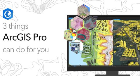
3 Things ArcGIS Pro Can Do for You
ArcGIS Pro has a modern and intuitive user interface that allows …

Helping farmers see the bigger picture.
Any farmer knows that their success or failure can hinge on …