ArcGIS Tracker: Four Benefits of Location Tracking
October 19, 2023 2023-10-19 13:20ArcGIS Tracker: Four Benefits of Location Tracking
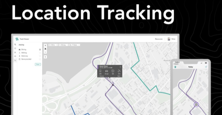
The capacity to track assets and monitor activities in real-time has become a vital tool for businesses and organizations of all kinds. Whether you’re managing a fleet of vehicles, conducting field surveys, or overseeing a distributed workforce, efficiently tracking the locations of your assets and personnel at any given moment is essential for operations and decision-making. ArcGIS Tracker, an extension of the ArcGIS platform, helps organizations harness the power of location tracking. In this article, we’ll explore four key benefits of using ArcGIS Tracker for location tracking.
Related: ArcGIS Navigator – The Ultimate GPS Navigation Solution
1. Real-time asset monitoring
ArcGIS Tracker provides the means to track the real-time location of assets, vehicles, or field personnel using mobile devices. This real-time tracking capability is invaluable for organizations with mobile workforces. Here’s how it benefits you:
Improved efficiency
By knowing the precise location of your assets and personnel, you can optimize routes, schedule tasks, and allocate resources more efficiently. This results in reduced fuel costs, faster response times, and improved service delivery
Enhanced safety
Real-time tracking enables you to monitor the safety of field workers. In case of emergencies or unexpected situations, you can quickly send assistance to their exact location.
Accountability
Tracker promotes accountability by providing a transparent view of where your personnel are and what they are doing. This is particularly important for organizations in industries such as construction, utilities, or transportation.
2. Historical location analysis
Beyond real-time tracking, ArcGIS Tracker also records historical location data. This information can be invaluable for various purposes:
Performance analysis
You can review historical location data to assess the performance of your field operations. It identifies trends, patterns, and areas where improvements are needed.
Compliance and reporting
Many industries require documentation of activities and locations for compliance purposes. Tracker simplifies this process by automatically recording and storing location data.
Evidence collection
For organizations involved in legal or dispute situations, historical location data can serve as valuable evidence to support or refute claims.
Related: From Field to Map – Collecting and Analyzing Data with ArcGIS
3. Geofencing and notifications
ArcGIS Tracker supports geofencing, which involves creating virtual boundaries around specific locations or areas. Geofencing has several practical applications:
Trigger notifications
When a tracked asset or person enters or exits a geofenced area, Tracker can automatically send notifications. This feature is beneficial for monitoring unauthorized entries or departures from designated zones.
Event management
Geofencing is used to automate various events or actions. For example, when a delivery vehicle enters a predefined zone, a confirmation message can be sent to the customer.
Enhanced security
In high-security environments or construction sites, geofencing helps control access to restricted areas by notifying security personnel of any intrusions.
4. Integration with ArcGIS Platform
One of the key advantages of using ArcGIS Tracker is its seamless integration with the ArcGIS platform. This integration opens up a world of possibilities:
Spatial analysis
You can combine tracked location data with other GIS layers, enabling you to perform spatial analysis, such as identifying optimal routes or assessing the impact of location patterns.
Related: Maximizing Efficiency with ArcGIS Field Apps and Mobile Data Collection
Custom applications
Tracker can be customized to suit your organization’s unique needs. You can create custom apps and dashboards to visualize and analyze location data according to your requirements.
Collaboration
Location data from Tracker can be easily shared with other team members or stakeholders, fostering better collaboration and decision-making.
By leveraging the benefits of Tracker, you can improve the efficiency and safety of your operations, make data-driven decisions, and enhance overall productivity. Whether you’re in transportation, field services, or asset management, ArcGIS Tracker can help you take location tracking to the next level, turning location data into actionable insights. Explore more here


