Geocoding and Geoprocessing: Enhancing GIS Analysis with ArcGIS Tools and APIs
June 9, 2023 2023-06-09 7:55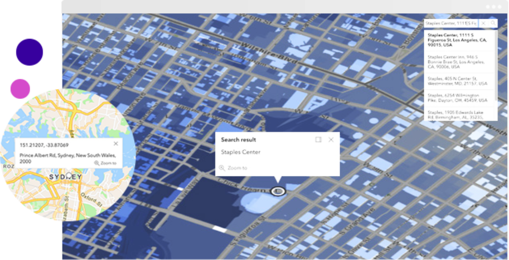
Geocoding and Geoprocessing: Enhancing GIS Analysis with ArcGIS Tools and APIs
Geographic Information Systems (GIS) have revolutionized the way we analyze and interpret spatial data. Geocoding and geoprocessing are two fundamental techniques that enhance GIS analysis, enabling us to extract valuable insights and make informed decisions. ArcGIS provides a robust set of tools and APIs for geocoding and geoprocessing, empowering GIS professionals to perform advanced spatial analysis with ease. In this article, we will explore how these tools and APIs enhance GIS analysis and support data-driven decision-making.
Related: Managing, Processing and Analysis of Drone Imagery with Site Scan for ArcGIS
Geocoding: transforming addresses into spatial data
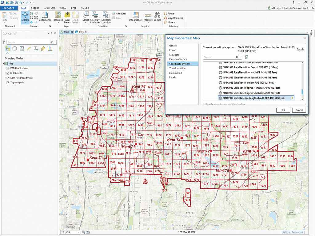
Geocoding is the process of converting addresses or place names into geographic coordinates, such as latitude and longitude. It enables GIS professionals to map and analyze address-based data, such as customer locations, store networks, or service areas. ArcGIS offers geocoding capabilities through its Geocoding API and tools like ArcGIS Geocoding Services. These tools provide accurate and efficient geocoding services, allowing users to batch geocode large datasets or perform real-time geocoding to map and visualize address-based data. Geocoding enhances GIS analysis by enabling spatial exploration, proximity analysis, and spatial data integration, resulting in more accurate and meaningful insights.
Geoprocessing: analyzing spatial relationships and patterns
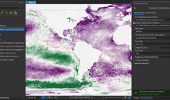
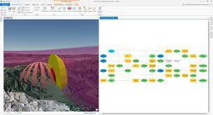
Geoprocessing involves analyzing spatial relationships and patterns to derive valuable insights from spatial data. ArcGIS provides a comprehensive suite of geoprocessing tools and APIs that enable GIS professionals to perform advanced spatial analysis. These tools include spatial overlay operations, proximity analysis, terrain analysis, spatial statistics, and much more. With these capabilities, GIS professionals can perform buffer analysis, identify hotspots, calculate distances, perform raster analysis, and model complex spatial processes. Geoprocessing in ArcGIS empowers users to uncover hidden patterns, quantify spatial relationships, and derive meaningful information from spatial data, enabling informed decision-making.
Related: What is Spatial Data?
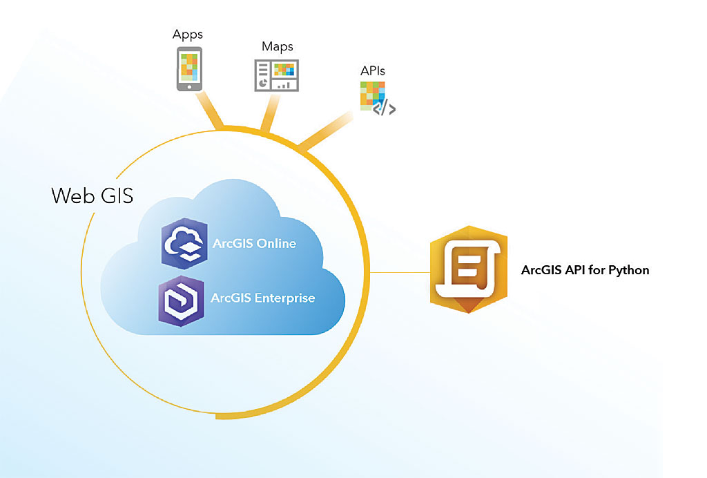
ArcGIS tools and APIs: a powerful combination
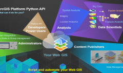
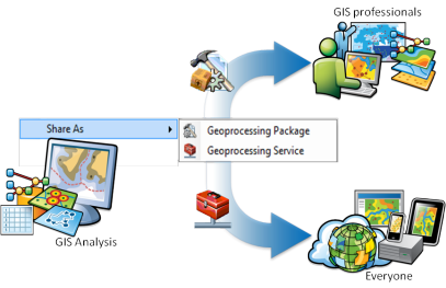
ArcGIS offers a range of tools and APIs that extend the capabilities of geocoding and geoprocessing, enhancing GIS analysis. These tools and APIs can be used to integrate geocoding and geoprocessing functionalities into custom applications, workflows, or automation scripts. They provide developers with the flexibility to tailor geocoding and geoprocessing workflows to specific requirements and create powerful spatial analysis applications. The ArcPy Python library, ArcGIS REST API, and ArcGIS Runtime SDKs are examples of tools and APIs that allow GIS professionals to leverage geocoding and geoprocessing capabilities within their custom applications.
By combining the power of ArcGIS tools and APIs with geocoding and geoprocessing, GIS professionals can unlock the full potential of their spatial analysis workflows. They can geocode large datasets, visualize address-based data, analyze spatial relationships, perform complex geoprocessing operations, and create custom applications that leverage geocoding and geoprocessing functionalities. This integration facilitates data-driven decision-making, supports efficient resource allocation, and empowers organizations to derive valuable insights from their spatial data.
In conclusion, geocoding and geoprocessing are essential techniques that enhance GIS analysis and enable informed decision-making. This combination empowers users to extract meaningful insights from spatial data, create custom applications, and unlock the full potential of GIS analysis. By leveraging geocoding and geoprocessing with ArcGIS, GIS professionals can transform their spatial data into actionable information and drive impactful change in their organizations.