Mastering Geospatial Data Management in ArcGIS Pro
February 5, 2024 2024-02-05 12:07Mastering Geospatial Data Management in ArcGIS Pro
ArcGIS Pro provides a robust platform for managing, analyzing, and visualizing geospatial data. However, harnessing its full potential requires a solid understanding of its features and a mastery of efficient data management techniques. In this blog post, we will explore essential tips and tricks to help you master ArcGIS Pro and streamline your geospatial data management workflow.
Tips for mastering ArcGIS Pro
Here are some useful tips for mastering geospatial data management in ArcGIS Pro:
Take advantage of project organization
Effective project organization is one of the first stages towards efficient data management. ArcGIS Pro has a project-based approach, which allows you to create and manage many projects from a single interface. To structure your projects and maintain a clear data hierarchy, use folders, geodatabases, and naming standards.
Use geodatabases
Geodatabases are a powerful tool for storing and managing geospatial data. Consider combining your data into a geodatabase rather than using shapefiles or individual feature classes. Geodatabases improve data integrity, provide complex geodatabase functions, and enable data versioning and replication.
Make use of geoprocessing tools
ArcGIS Pro includes a plethora of geoprocessing tools that can help you streamline your workflows and automate tedious operations. Explore the Geoprocessing window, which has tools for data conversion, analysis, and manipulation. Learn how to use the ModelBuilder to develop unique geoprocessing workflows and increase your efficiency.
Related: Geocoding and Geoprocessing – Enhancing GIS Analysis with ArcGIS Tools and APIs
Use python scripting
ArcGIS Pro includes strong Python scripting capability, allowing you to automate complicated operations and increase the software’s functionality. You may construct scripts to execute batch processing, automate data changes, and create customized tools using the arcpy Python package. Python scripting brings us a whole new universe of possibilities for optimizing geospatial procedures.
Related: ArcGIS Python Automation – Streamlining Workflows for GIS Professionals

Use metadata for documentation
Metadata is crucial for effective data management and sharing. ArcGIS Pro allows you to create and manage metadata for your geospatial datasets, providing essential information about data sources, accuracy, and usage. By documenting your data with metadata, you enhance its discoverability and ensure its proper understanding by other users.
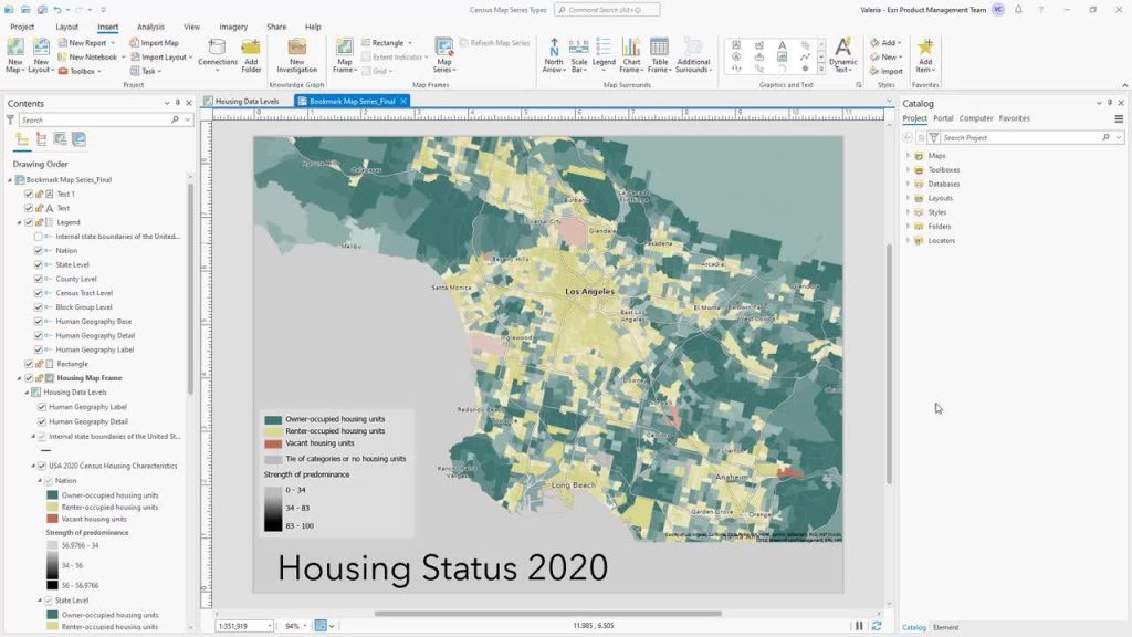
Employ map series for batch map production
If you need to generate multiple maps based on a common template, Map series is your go-to tool. Map series in ArcGIS Pro enables you to automate the production of a series of maps with varying extents or data-driven pages. It’s particularly useful for creating atlases, reports, or map books, saving you considerable time and effort.
Use data compression and mosaicking
Large datasets might be difficult to maintain and analyze in an efficient manner. ArcGIS Pro has tools for optimizing data storage and performance. Using data compression techniques like file geodatabase compression can help you save storage space while retaining data correctness. Furthermore, mosaic datasets can be used to easily store and manage imagery and raster data, allowing for seamless presentation and analysis.
Make use of 3D visualization and analysis
ArcGIS Pro excels at 3D visualization and analysis, allowing you to explore and analyze geographic data in three dimensions. Make use of the 3D scene view to visualize landscape, buildings, and infrastructure, as well as perform sophisticated studies like line of sight, viewshed analysis, and volumetric calculations. These abilities can considerably improve your grasp of spatial relationships and help you make decisions.
Related: Five powerful Capabilities of ArcGIS 3D Analyst

Collaborate with ArcGIS Online
ArcGIS Pro interacts smoothly with ArcGIS Online, a cloud-based platform for sharing and collaborating on geospatial data. You can use this integration to publish your maps and data to ArcGIS Online, share them with colleagues or clients, and work on projects together. ArcGIS Online also has a large library of ready-to-use datasets, basemaps, and analytic tools.
You can now get ArcGIS Products online. Click here to buy.


