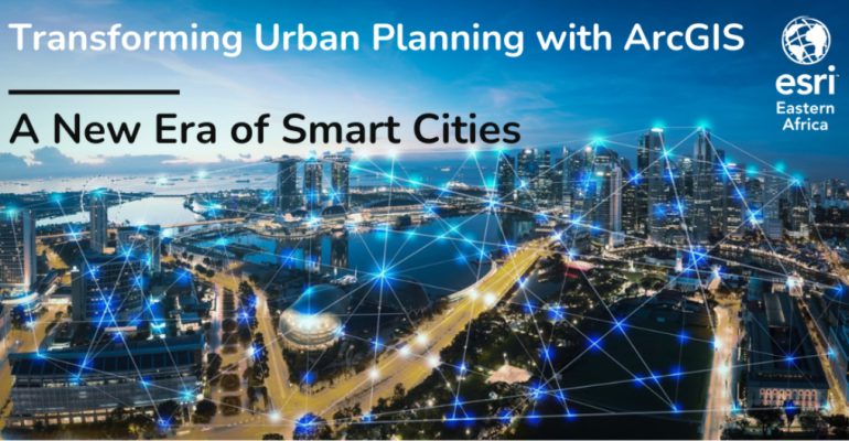
Transforming Urban Planning with ArcGIS: A New Era of Smart Cities
February 1, 2024 2024-02-01 9:16Transforming Urban Planning with ArcGIS: A New Era of Smart Cities
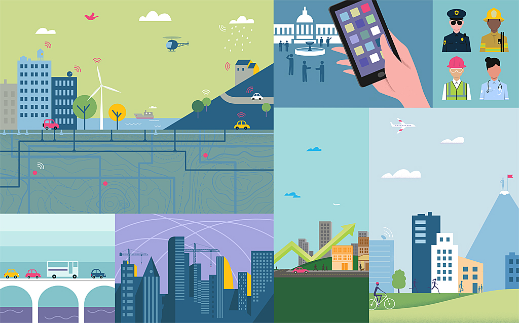
The rapid pace of urbanization in the 21st century presents both opportunities and challenges for cities around the world. As more people flock to urban centers, the need for efficient urban planning becomes paramount. Fortunately, GIS technology, particularly ArcGIS platform, has emerged as a powerful tool to transform urban planning and usher in a new era of smart cities. In this blog post, we’ll explore how ArcGIS is shaping the future of urban planning and helping cities become more sustainable, resilient, and livable.
Understanding ArcGIS in Urban Planning
ArcGIS allows urban planners, city officials, and stakeholders to collect, manage, analyze, and visualize spatial data. It leverages the power of maps to provide valuable insights into urban environments, facilitating data-driven decision-making in various aspects of urban planning.
Key Applications of ArcGIS in Urban Planning
Here are some applications of ArcGIS in urban planning:
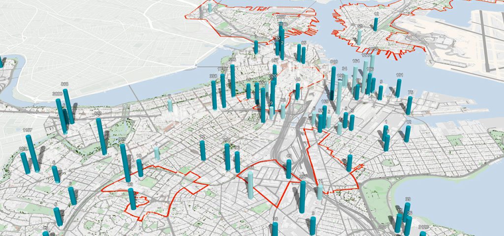
Data integration
ArcGIS enables urban planners to integrate diverse datasets, including demographic information, land use, transportation networks, environmental data, and more. This comprehensive view of the city’s data landscape helps identify patterns and trends critical for informed planning.
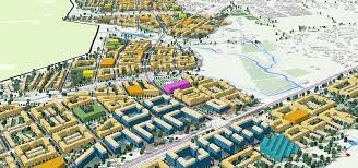
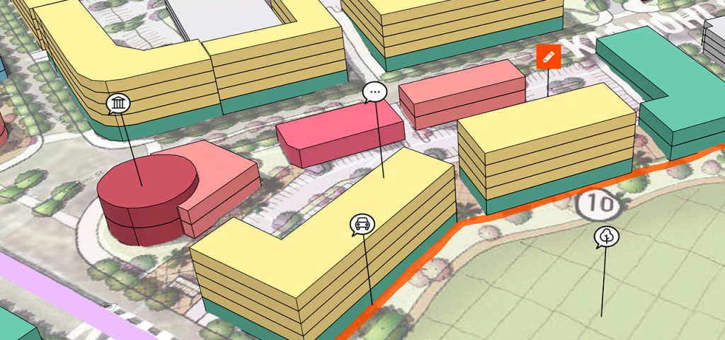
Zoning and land use planning
ArcGIS provides tools to model land use scenarios, allowing planners to assess the impact of zoning changes, land development, and infrastructure investments. This aids in optimizing land use, reducing congestion, and enhancing overall urban functionality.
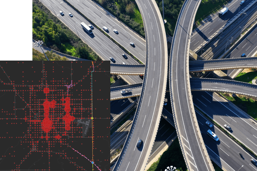
Transportation and planning
Efficient transportation systems are the lifeblood of cities. ArcGIS helps planners analyze traffic flow, optimize public transportation routes, and plan for pedestrian and cyclist-friendly infrastructure, ultimately reducing traffic congestion and improving mobility.
Disaster management
Smart cities are resilient cities. ArcGIS assists in disaster preparedness and response by providing real-time data on hazards, vulnerabilities, and evacuation routes. This is crucial for minimizing the impact of natural disasters and other emergencies.
Environmental sustainability
Urban planning in the 21st century must prioritize environmental sustainability. ArcGIS allows cities to monitor air and water quality, track green spaces, and plan for sustainable urban development, fostering a healthier and more livable environment.
Community engagement
Engaging citizens in the planning process is vital. ArcGIS facilitates public participation through interactive maps and apps, enabling citizens to provide feedback and contribute to shaping their cities.
Benefits of ArcGIS in urban planning
- Data driven decision-making: ArcGIS empowers urban planners with data-driven insights, reducing guesswork and enabling more informed decisions that align with the city’s goals and priorities.
- Efficiency and cost savings: By optimizing resource allocation and infrastructure planning, cities can save both time and money. ArcGIS helps identify cost-effective solutions for urban challenges.
- Improved quality of life: Smart cities created with the help of ArcGIS are designed to enhance the quality of life for residents. This includes improved transportation, cleaner environments, safer communities, and more accessible services.
- Sustainability: ArcGIS supports the development of sustainable urban environments, reducing the ecological footprint of cities and promoting long-term environmental health.
- Resilience: The ability to plan for and respond to crises, be they natural disasters or public health emergencies, makes cities more resilient and better equipped to handle unexpected challenges.
The integration of ArcGIS technology into urban planning processes marks a significant step towards building smarter, more livable cities. By harnessing the power of spatial data and analytics, cities can optimize their infrastructure, improve the well-being of their citizens, and become more resilient in the face of global challenges. As we move forward, ArcGIS will continue to play a pivotal role in transforming urban planning and shaping the future of our cities for the better. It’s an exciting era for urban development, one where data-driven decisions pave the way for smarter, more sustainable, and more resilient cities.
Click here to buy ArcGIS products Online!


