Top 3 Courses for ArcGIS Beginners
February 7, 2024 2024-02-16 8:33Top 3 Courses for ArcGIS Beginners

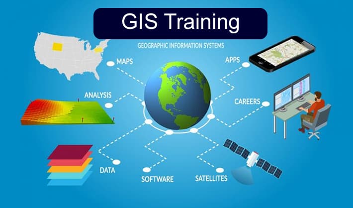
ArcGIS, a versatile and robust platform, offers a plethora of features for mapping, data analysis, and efficient data management. Embracing a new software application can seem like a daunting task, but fear not, as we have an array of courses tailored to ease your introduction to ArcGIS. Our instructor-led foundational courses are meticulously crafted to equip you with the essential skills and insights needed to confidently translate your newfound knowledge into practical, real-world applications and projects.
You will also receive a certificate for each course you complete.
Related: Training and Capacity Building
Introduction to GIS using ArcGIS
Introduction to GIS Using ArcGIS is a 3-day course for those who are completely new to geographic information systems (GIS) and want to learn fundamental GIS terminology and capabilities. Learn how to use GIS tools to visualize and analyse data to solve spatial problems and make more informed decisions. You’ll also discover how ArcGIS helps organizations address business needs.
At the end of this course, you will be able to:
· Identify appropriate data to support a mapping project.
· Create a map, add data to it, and symbolize map features to support the map’s purpose.
· Share data, maps, and other content to an organizational portal.
· Perform spatial analysis to obtain information about map features within an area of interest.
Related: From Novice to Pro: Build Your Geospatial Skills with ArcGIS
ArcGIS Pro: Essential Workflows
ArcGIS Pro: Essential Workflows is a 4-day course that introduces you to the power of Esri’s professional desktop software and explores the tools to integrate, visualize, analyse, and share data. You will learn the basic functionality of ArcGIS Pro and gain confidence in using the software.
At the end of this course, you will be able to:
· Organize, create, and edit geographic data.
· Manage, symbolize, and label map layers.
· Analyse and model GIS data to solve spatial problems.
· Share maps and analysis results.
· Putting ArcGIS across your organization.
Related: Add GIS Skills to Your Portifolio

Putting ArcGIS across your organization
Putting ArcGIS across your organization is a 3-day course that offers a comprehensive introduction to The ArcGIS platform components and capabilities. In this course, you explore ArcGIS apps used for mapping and visualization, data collection and management, spatial analytics, collaboration and sharing. Discover how the ArcGIS platform helps organizations address common business challenges and apply location-based insights to streamline operations and improve decision making.

At the end of this course, you will be able to:
· Map and analyze business data using ArcGIS apps and tools.
· Create and share data, web maps, and web apps using an ArcGIS portal.
· Streamline field data collection workflows.
· Configure web apps and dashboards to monitor field operations in real time.
You can sign up for physical or virtual course here. For more information, contact Esri Eastern Africa training department: training@esriea.com.