Kenyatta University: A Beacon of GIS Excellence in Eastern Africa
November 1, 2023 2023-11-01 6:57Kenyatta University: A Beacon of GIS Excellence in Eastern Africa
Kenyatta University: A Beacon of GIS Excellence in Eastern Africa
In a remarkable transformation, Kenyatta University in Nairobi, Kenya, rapidly evolved into a distinguished center of GIS excellence in Eastern Africa. This profound shift, propelled by an Esri enterprise license agreement under the 100 African Universities program, expanded the use of GIS technology from a limited research tool to a comprehensive multicampus ArcGIS implementation within just two years.
Kenyatta University, initially established as Kenyatta College in 1965, transitioned into a full-fledged university in 1985, bearing the name of Jomo Kenyatta, Kenya’s first president post-independence from Britain in 1963. Today, the university boasts 12 campuses, catering to over 88,000 students.
Related: Kenyatta University Launches a GIS Lab

Pioneering change
Simon M. Onywere, an associate professor and lecturer in the School of Environmental Studies, discovered GIS as an undergraduate in the late 1980s. Recognizing its potential, he championed the introduction of GIS across the university. The catalyst for this transformation was the announcement of Esri’s 100 African Universities program in 2011, aimed at fostering sustainable GIS curriculums in African universities.
Related: Esri Eastern Africa and Masinde Muliro University Form a Strategic Alliance
Esri’s 100 African Universities program
Under this program, participating universities were granted a three-year enterprise license agreement for ArcGIS. However, universities had to meet specific requirements, particularly concerning computer infrastructure. Onywere, the driving force behind Kenyatta University’s endeavor, initiated the application process in 2012. It became evident that the existing server infrastructure was insufficient to support the anticipated use of ArcGIS, necessitating a convincing pitch to the university’s vice chancellor for additional server space.
By September 2013, the entire campus was fully equipped with GIS capabilities, marking a pivotal moment. To facilitate learning, Esri provided abundant online resources, including books, courses, and related materials as part of the program.
Customized learning
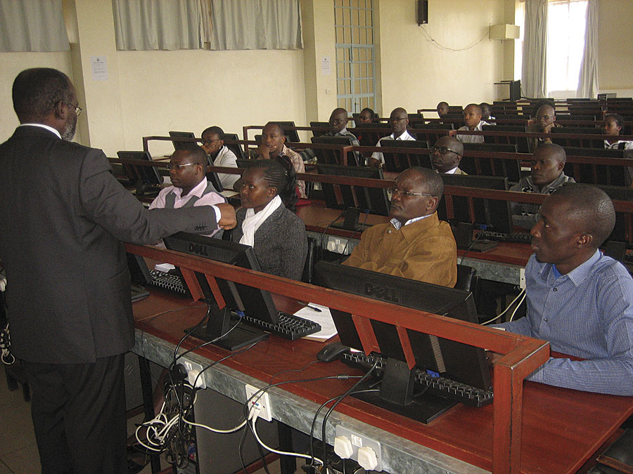
Initially, Onywere assumed that the students, being tech-savvy and with access to online educational materials, would swiftly embrace ArcGIS. However, the reality was different, as many students required introductory training to familiarize themselves with the software.
Recognizing this hurdle, Onywere developed an introductory ArcGIS training course that integrated with the existing curricula, making it accessible and relevant to students. This initiative not only boosted their confidence but also laid the foundation for geospatial literacy at Kenyatta University.
To scale up training efforts, Onywere collaborated with the former Institute for Research, Science & Technology, which was partnered with the International Centre of Insect Physiology and Ecology (ICIPE) in Nairobi. Utilizing the GIS capabilities established by the research group, Onywere secured assistance from two interns to expedite training efforts. In just one year, over 1,000 Kenyatta University students had acquired essential ArcGIS skills.
Today, GIS is integrated into more than 15 areas of study across the university, contributing to diverse projects, including tourism resource mapping and the implementation of the University Geographical Data Portal.
Related: Why Teach With GIS?
Charting the future
The Esri enterprise license agreement has a broader objective in preparing Kenyatta University students to support the government’s goals outlined in Kenya Vision 2030, a national redevelopment program launched in 2008. The program seeks to elevate the quality of life, social well-being, and democratic voice of its citizens through economic, social, and political reforms.
Onywere firmly believes that GIS applications have a significant role to play in achieving these goals, spanning environmental management, land reform, agriculture, urban planning, and infrastructure development. The newly acquired GIS skills of Kenyatta University students align perfectly with these areas of study, poised to contribute to the government’s vision for a brighter future.
This story was first published by Jim Baumann. Read full story here

