Real-Time Ecological Monitoring Safeguards Kenya’s Endangered Rhinos
October 31, 2023 2023-10-31 13:53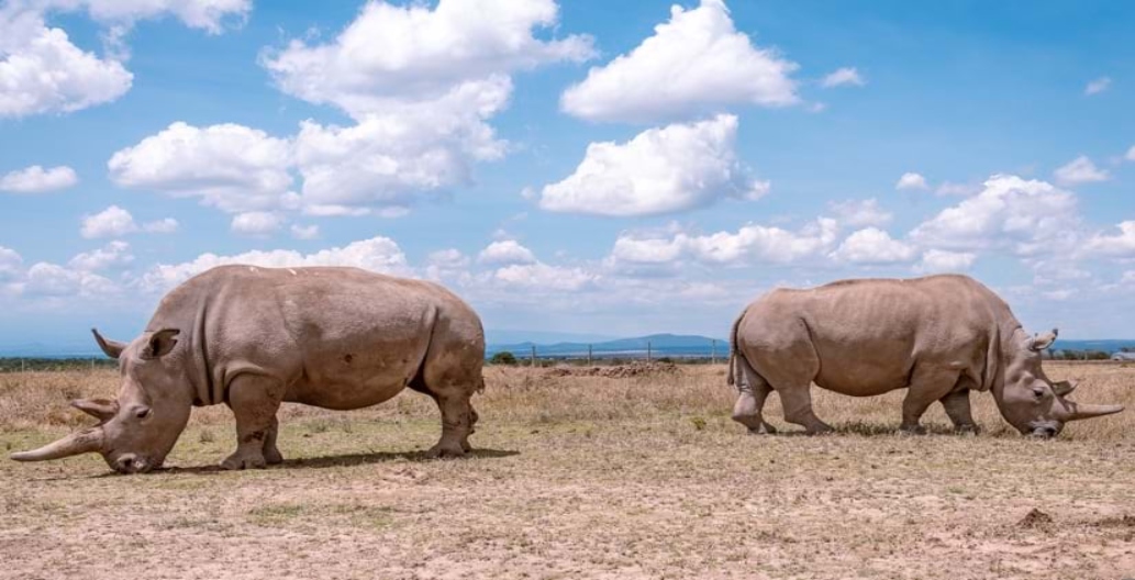
Real-Time Ecological Monitoring Safeguards Kenya’s Endangered Rhinos
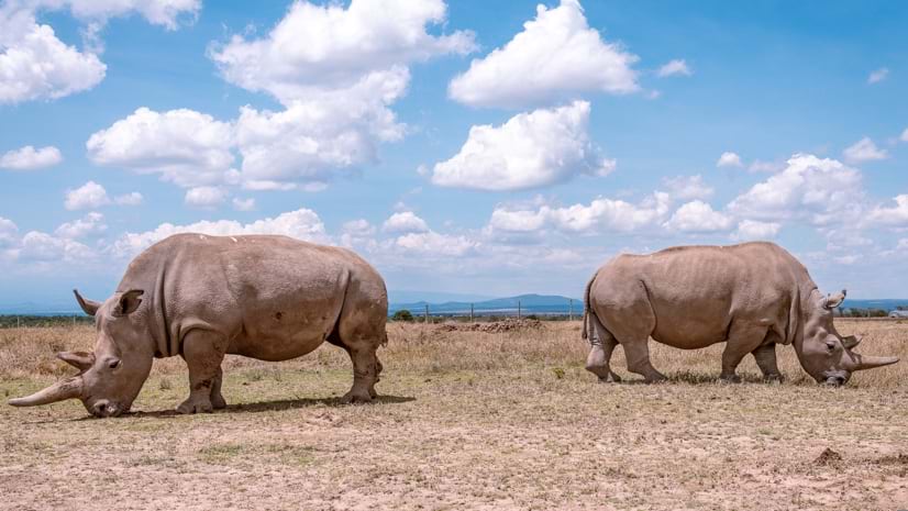
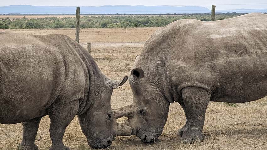
Fatu and Najin, the last two northern white rhinos on Earth, reside at Kenya’s Ol Pejeta Conservancy (OPC), living under 24-hour armed protection. Despite their massive size, their existence hangs by a thread, representing the last hope for their critically endangered species, driven to the brink of extinction by habitat loss and poaching. OPC has embarked on innovative measures to protect these iconic creatures, using cutting-edge technology, including Geographic Information Systems (GIS).
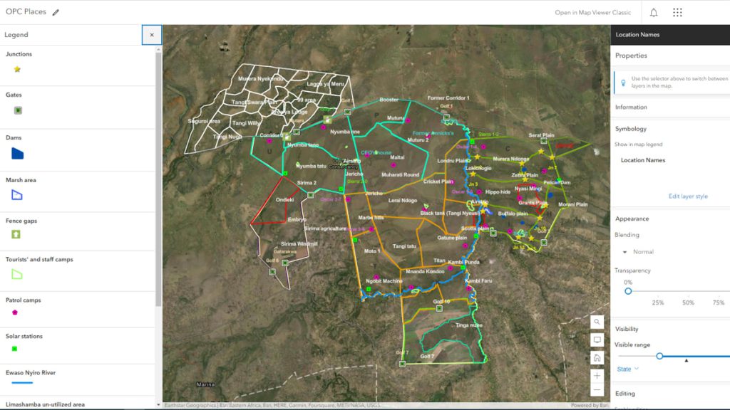
To better understand the complex dynamics of wildlife at the conservancy, OPC employs GIS technology. Data analysts utilize GIS to visualize animal movements and relationships among migratory wildlife, enhancing awareness and facilitating informed decision-making. Kennedy Muriithi, senior officer at OPC’s Innovation and Tech Lab, highlights how GIS aids in monitoring wildlife, ecosystem health, addressing human-wildlife conflicts, combatting poaching, and aiding injured wildlife.
Related: A Holistic Approach to Protecting Africa’s Wildlife
Real-Time Monitoring
Modern environmental monitoring techniques have been integrated into OPC’s field operations. Rangers use GIS data collection tools to record wildlife observations, images, and habitat parameters, enabling real-time synchronization with an online repository and the creation of dashboards for each monitoring program. This transition has streamlined OPC’s workflow, eliminating the cumbersome process of paper-based field notes and manual data entry into spreadsheets, which often led to data inconsistencies and inaccuracies.
Alfred Kibungei, the conservation data analyst at OPC, emphasizes the improved accuracy in reporting wildlife findings with the implementation of GIS technology. The ability to collect geospatial data in real-time ensures precision and timely data delivery, improving management actions.
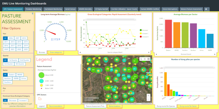
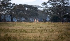
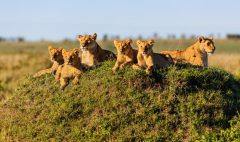
One of OPC’s flagship species is the critically endangered eastern black rhino. Their numbers have steadily risen at OPC, thanks to conservation efforts and successful breeding programs. OPC employs rhino protection squads and veterinary experts to ensure the well-being of these animals. Additionally, they monitor other endangered species such as elephants, wild dogs, cheetahs, Grevy’s zebras, and Jackson’s hartebeest. Dashboards support 10 key conservation programs, including monitoring pasture conditions, rainfall, and wildlife mortality.
Harnessing technology to care for endangered wildlife
To protect the Jackson’s hartebeest, which is on the decline due to predation by lions, OPC conducts regular monitoring to study population dynamics and habitat utilization. The data-driven maps reveal critical information about the interactions between hartebeest and lions, allowing the conservancy to implement strategies to support hartebeest populations.
Conserving the environment
OPC relies on tourism and agriculture for revenue, aiming to strike a balance between conservation and sustainable land use. The ecological monitoring team assesses pastures quarterly using GIS apps to optimize grazing practices for wildlife and cattle. To mitigate human-wildlife conflicts, OPC records incidents and uses GIS to identify hotspots, enabling faster response times and efficient conflict management.
Related: Digitally Transforming the Future of Natural Resources
As human populations expand and habitats shrink due to climate change and development, OPC’s ecological monitoring work has become increasingly crucial. The organization strives to maintain the integrity of habitats, ensure the health of wildlife, and minimize human impacts while protecting endangered species like Fatu, Najin, and the eastern black rhino.
This story was first published by David Gadsden. Read full story here