A contemporary strategy for public health readiness
October 17, 2022 2022-10-17 7:52A contemporary strategy for public health readiness

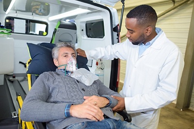
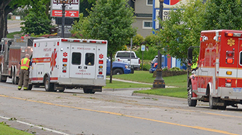
In an increasingly dangerous world, geospatial information systems for public health can help communities make decisions about where to locate and build hospitals, clinics, and care centers. GIS also is an integral tool for disaster response and recovery planning, as well as increasing access to information from government databases such as health care funding requests and waiting list data.
GIS can help public health departments assess their readiness for pandemics and other events by providing them with tools to provide better situational awareness and analyze the data from their data systems. This allows agencies to be able to quickly identify new areas of concern, as well as taking immediate action where necessary.
This technology uses advanced data mining techniques to help health sector manage public health problems. This approach has helped countries reduce their disease burden by improving population-level surveillance and ensuring that it is used to improve individual health outcomes.
GIS helps with public health preparedness by:
- Providing geographic references that are specific to the location of the people who need healthcare, thereby allowing for accurate planning and analysis. For example, a company may need to prepare for an evacuation from its facilities or between regions. The first step is to identify where all stakeholders will be when the event occurs and determine the emergency services that should be able to help keep them alive during an event like a flood or earthquake.
- Allowing a state or city to create maps with the potential to visualize hazards within its boundaries. This could help prevent large scale outbreaks of disease and monitor where individuals are at risk. GIS can also be used during storms to ensure that important infrastructure is protected and will not be damaged by flooding.
- Provides ways to monitor changing patterns of disease, which can be used in forecasting, planning and response. Moreover, GIS allows health professionals to make decisions by integrating information from many sources and present it in ways that are readily accessible and understandable.
GIS tools can help public health agencies to identify patterns in environmental data, characterize land use and improve the quality of information used for planning. These models allow local health departments to better prepare for a variety of public health events such as seasonal flu outbreaks or earthquakes.
Discover how healthcare professionals are integrating GIS with healthcare solutions!
If you are a health professional looking for a modern approach to health preparedness you can now purchase GIS solutions online.


