ArcGIS Desktop Migration
October 12, 2022 2022-10-17 14:34ArcGIS Desktop Migration
May 31st marks the end of ArcGIS Desktop distribution. ArcGIS will no longer be available from the Esri online Store effective June 1, 2022. In the beginning of 2022, Esri started transitioning customers from the ArcGIS Desktop products to ArcGIS Pro which was and still is available through ArcGIS GIS Professional User Type (Basic, Standard, Advanced) subscriptions for ArcGIS Online or ArcGIS Enterprise. Customers are also able to purchase the ArcGIS Pro app as an add on subscription for Creator User Types.
Why you should consider the migration
Below are reasons why you should consider migrating:
Enables you to work faster
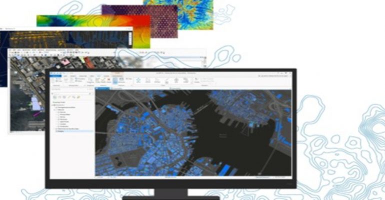
ArcGIS Pro is intended to make your work easier. The ribbon along the top of the ArcGIS Pro interface is contextual, which means it only shows you the tools you need when you need them. This eliminates the need to toggle toolbars on and off and hunt for tools, resulting in a workflow-driven user experience.
Easy migration of your work
ArcGIS Pro uses the styles or style files already developed on ArcMap. For example, in ArcGIS Pro, there is no need to recreate maps and layouts- you can simply import your map documents (.mxd), scenes (.sxd), and globes (.3DD), they will look just as they did in ArcMap with the same layouts and symbology.
Easy access to resources
ArcGIS Pro is tightly integrated with ArcGIS Enterprise, ArcGIS online, and the rest of the ArcGIS platform, allowing for powerful cross-platform workflows and easy access to resources from ArcGIS online or your portal.
Enables authoring large web scenes and editing in 3D
ArcGIS Ppr now supports 3Dstorytelling with animation that can make use of range and time data. 3D drawing enhancements which include feature drawings by camera distance and improved lighting of 3D objects. It utilizes new navigation controls to explore 3D landscapes. With embeddable, interactive, and customized charts, layouts become more useful and powerful. Data visualization in charts helps in the discovery of patterns, trends, relationships, and structure in data.
New Geoprocessing are tools available only on ArcGIS Pro
ArcGIS Pro includes innovations not found in any other desktop GIS. It has the new geoprocessing tools and works with views of 2D maps, 3D maps and tables and sync them so that changes in one are reflected on the other.
Esri is developing new ArcGIS Pro innovations that are only possible with the connected desktop and the architecture services. Each ArcGIS Pro release includes the features and capabilities that you’ve requested.
It’s time to upgrade to ArcGIS Pro!
Find out how you can analyze raster data using ArcGIS Pro