Esri EA exhibits at the non-revenue water management symposium
October 17, 2022 2022-10-17 12:10Esri EA exhibits at the non-revenue water management symposium
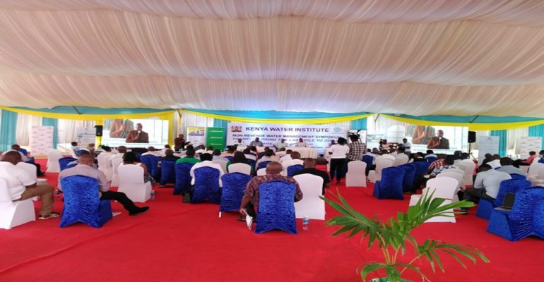
On May 9th and 10th, Kenya Water Institute (KEWI) with support of partners held the Non-Revenue Water Management Symposium in PrideInn Flamingo Beach in Mombasa. The theme was “Closing the last mile to SGD6 (Sustainable Goal Development).” Esri Eastern Africa was among the attendees of the symposium.
The symposium brought together managers of water service providers (WSPs), scholars, technology experts, policy makers, development partners, water utilities, institutions of higher learning, water associations, civil society, private sector, and investors to share experiences on the globally accepted standards for the water management of NRW.
What is NRW?
You may be reading this, and asking yourself what is NRW? Well, Non-revenue water (NRW) is water that is pumped and then lost or unaccounted for. In developing countries, approximately 45 million cubic meters of water are lost daily, with an annual economic value of more than US$3 billion.
Water is central to economic and social development. It is necessary for maintaining health, growing food, generating energy, managing the environment, and creating jobs. Water availability and management have an impact on whether poor girls are educated, cities are healthy places to live, and growing industries or poor villages can withstand the effects of floods or droughts.
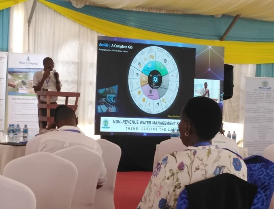
How GIS helps
Intelligent water management begins with GIS. Location is critical in the water industry, from the plant to the tank to the tap and back to the plant for treatment and discharge. GIS enables the integration, coordination, and analysis of disparate hardware and software, workers and processes, departments, and datasets, across space and time. GIS serves as the foundation for digital water transformation by managing the entire water cycle
Esri EA’s main goal for attending the symposium was to create awareness about GIS and educate people on the importance of increasing the efficiency of their organization by implementing digital solutions that provide insight to decision-makers.
Water resource managers can use GIS technology to visualize and analyze topographic, hydrographic and hydrogenic data for assessing water quality, estimating water availability, planning flood prevention, understanding the natural environment, and managing water resources.
Access to safe, dependable water is critical. Water is critical to national and local economic well-being as well as the protection of life and property. Effective management of our most valuable resource is critical for long-term sustainability.
Discover how GIS is transforming the future of natural resources