Five tips to get started in GIS
November 14, 2022 2023-02-17 11:38Five tips to get started in GIS
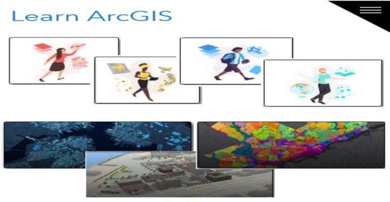
GIS is a fast-growing field and is set to continue its growth with projected job growth at between 20% and 30% over the next five years. Preparing for a geographic information systems (GIS) career can be difficult, especially if you don’t have any experience in using a map application. Even if you have previous experience using digital maps and applications, there are additional aspects that come into play when working with GIS data. Here are five tips that can help you get started in Geographic Information System (GIS).
1. Know your software
The GIS software out there seem endless with examples such as Esri ArcGIS, Google Earth Pro, BatchGeo, Google Maps API and many more. Understanding the software that best suits your needs can help you set your foot in the right direction. There are two basic categories of GIS software: commercial and open-source. Commercial GIS software involves a paid license, either through subscription or a one-time perpetual license. Open-source GIS software is free for anyone to use.
2. Understand the basics
It’s important that you understand the basics of GIS before you dive into the world of mapmaking. This includes knowing what your data looks like and how to work with it in a way that makes sense for your needs. If you want to create maps or visualizations, it’s important that you understand how all of these things fit together as well as how they relate to each other.
3. Get familiar with tools
In order to make use of your data, it’s important that you have an understanding of some basic tools and programs available to you. You’ll need some kind of software package or program that can help you manipulate your data so that it will serve your needs. You’ll also want to know how different layers interact within these programs so that everything is properly connected together (and so that everything is properly connected together!).
4. Invest time, money, and effort
Be prepared to invest time, money, and effort into learning new software. Understand the basics of GIS, including spatial analysis and mapping. Use open-source tools to work with your data, as this will save your time and money.
5. Use open-source tools
Using open-source tools, or free technology, can be a great way to create maps or data visualizations. This option is good if you have limited funds and skills to create your own program. Open-source technologies like Java and Python give you the freedom to do anything, but it can be hard to work with others on data and maps as well as harder for people to find and use your project if you choose this route.
GIS can be a very powerful tool for researchers and has the potential to impact humanity in more ways than you might think. It’s time for you to give GIS a try. You may not master it overnight, but at least you will know that you have taken your first step towards better understanding our amazing planet. And sometimes all it takes is a little push to get started. So, what are you waiting for?
At Esri Eastern Africa we provide you with ArcGIS software, you can also enroll in our training program to kickstart your career.


