Ten Ways to Integrate Data with ArcGIS Enterprise
August 14, 2025 2025-08-13 14:45Ten Ways to Integrate Data with ArcGIS Enterprise
Bringing together data from different sources into one central GIS is key for any modern organization managing both spatial and non-spatial information. ArcGIS Enterprise is designed for providing secure, cloud-optimized, and self-hosted solutions for data management, mapping, and analytics. It works with your existing IT standards and easily integrates with other enterprise systems.
With ArcGIS Enterprise, you can create interactive maps, apps, and reports that improve productivity, foster collaboration, and make decision-making easier. One of its strengths is flexibility: web layers can reference data in its original location or store a hosted copy within ArcGIS Enterprise. Supported data sources range from databases and file shares to cloud storage and warehouses.
This guide outlines ten popular ways to connect your data with ArcGIS Enterprise, complete with use cases and benefits.
1. Add Data via the ArcGIS Enterprise Portal
A fast, straightforward method is simply to upload data from sources such as Excel, GeoJSON, shapefiles, or zipped file geodatabases. Some formats allow you to publish a hosted feature layer right away for immediate use.
Best for: Quick, one-time uploads of prepared, static data that won’t need frequent updates.
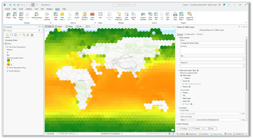
2. Share Data by Reference from ArcGIS Pro
ArcGIS Pro lets you publish layers that directly reference original datasets in enterprise geodatabases, relational databases, or cloud storage. This ensures your maps always reflect the most current data.
Best for: Users who need live, continuously updated data in ArcGIS Enterprise.
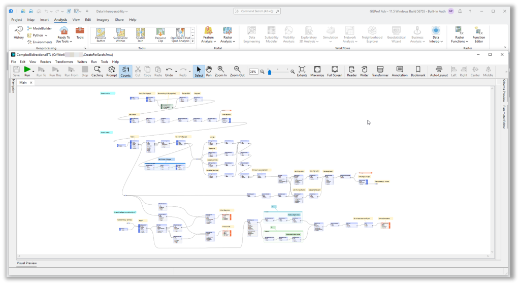
3. Use the ArcGIS Data Interoperability Extension
A no-code, drag-and-drop ETL tool for creating complex data integration workflows—ideal for connecting to non-native formats or performing detailed transformations. Workflows can be published as web tools for on-demand or scheduled execution.
Best for: Data engineers or GIS analysts building complex integrations without coding.
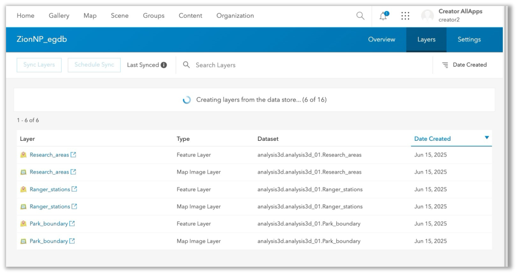
4. Publish Layers in Bulk from Relational Databases
Connect once, publish many. Bulk publishing lets you turn multiple database tables or feature classes into web layers all at once, streamlining the process for large datasets.
Best for: GIS managers and DBAs managing many datasets.
5. Publish Large Datasets as Scene or Tile Layers
Pre-cache your data in a network folder or cloud storage and publish it without lengthy processing. This method is ideal for huge scene, vector, or raster tile layers.
Best for: Publishing multi-gigabyte datasets while saving time and storage space.
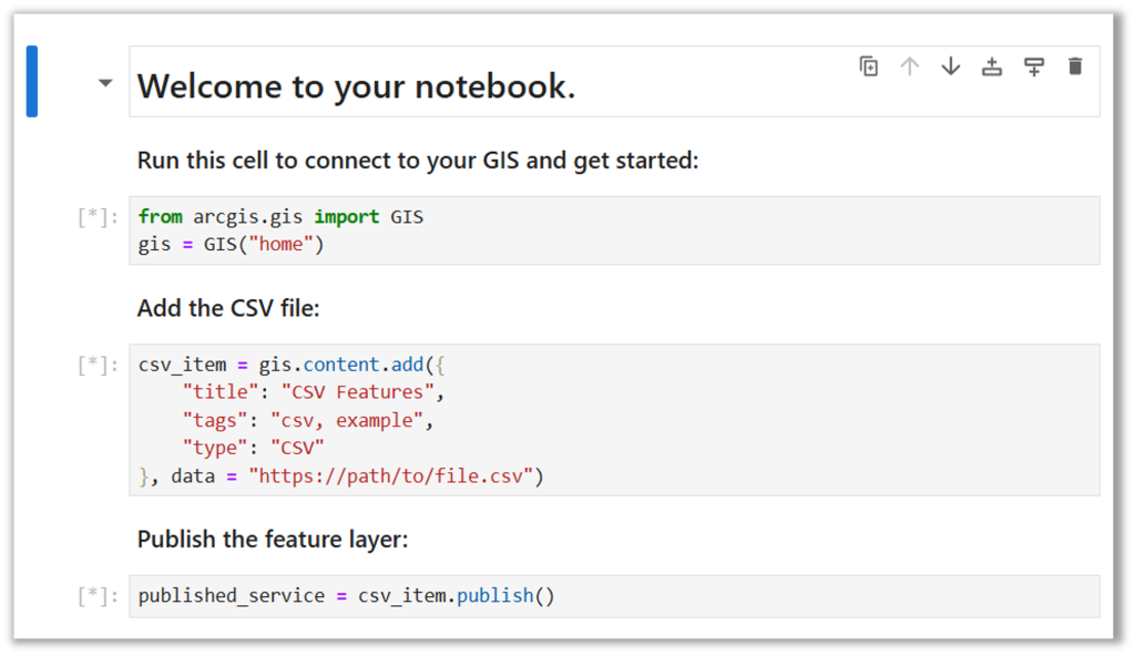
6. Automate Integration with ArcGIS Python Libraries
For coders, ArcGIS API for Python and ArcPy offer flexible automation for data integration, preparation, and analysis. Use ArcGIS Notebooks to write, run, and schedule scripts inside ArcGIS Enterprise.
Best for: Python-savvy users who want full control over automated workflows.
7. Connect to Any Data Source Using Custom Data Feeds
Custom data feeds, built with the ArcGIS Enterprise SDK, let you connect to sources not supported natively—like proprietary APIs or NoSQL databases without moving the data.
Best for: Organizations integrating unique or proprietary data sources in real time.

8. Serve Imagery Using ArcGIS Image Server
Publish dynamic image services from mosaic datasets for on-the-fly analysis and visualization. Supports pixel-level queries and large-scale raster analytics.
Best for: Managing and analyzing large imagery or elevation datasets.
9. Stream Real-Time Data with ArcGIS GeoEvent Server
Bring live feeds into ArcGIS Enterprise from IoT sensors, GPS devices, or other push-based services. Ideal for real-time monitoring, alerts, and location tracking.
Best for: Situational awareness and live operational dashboards.
10. Share Data Using Distributed Collaboration
Securely sync and share content between ArcGIS Enterprise and ArcGIS Online or between multiple Enterprise environments without manual transfers.
Best for: Multi-agency or cross-department projects needing a shared source of truth.
These ten methods give you flexibility to match your integration strategy to your data sources, update needs, and technical skills. Whether you want quick uploads, live connections, complex ETL, or real-time streaming, ArcGIS Enterprise can bring your data together for smarter analysis and decision-making.