Showcase Your Geospatial Storytelling in the 2025 ArcGIS StoryMaps Competition
September 17, 2025 2025-09-17 14:37Showcase Your Geospatial Storytelling in the 2025 ArcGIS StoryMaps Competition
Showcase Your Geospatial Storytelling in the 2025 ArcGIS StoryMaps Competition
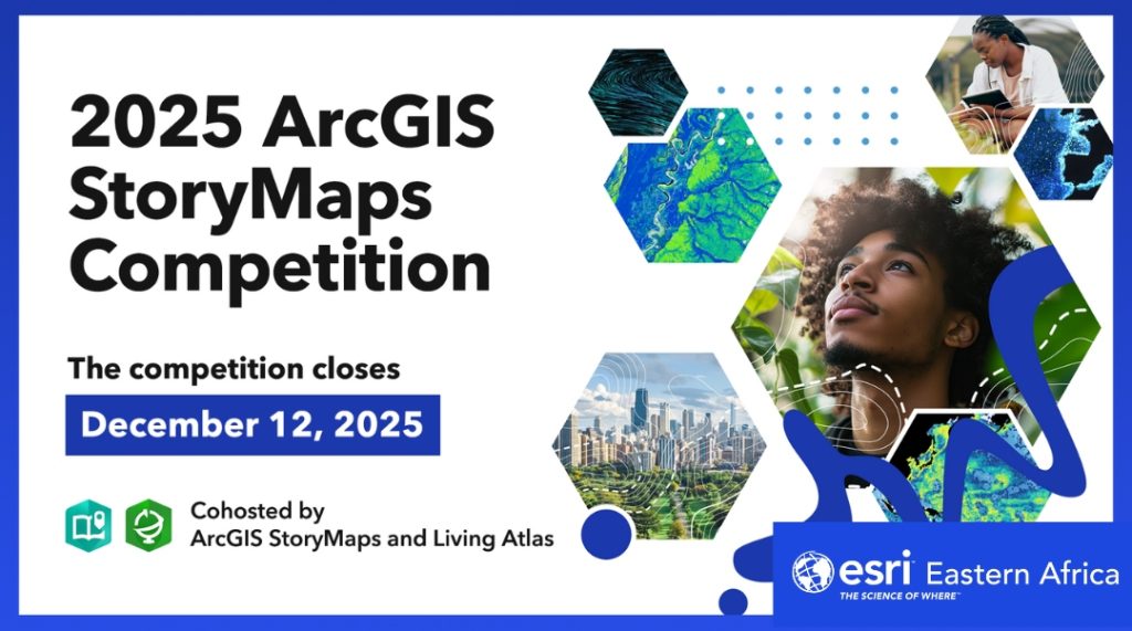
Geography connects many of the world’s most pressing issues, from climate change to economic inequality. To highlight the power of storytelling, cartography, and data visualization, the 2025 ArcGIS StoryMaps Competition invites participants to create compelling, place-based stories that bring these challenges and solutions to life.
Competition Overview
Organized by the ArcGIS StoryMaps and Living Atlas teams, this global competition encourages individuals and groups to share innovative narratives using geospatial data. Participants are required to submit one ArcGIS StoryMap or a collection that incorporates content from ArcGIS Living Atlas. Submissions can be either newly created or based on existing work, and must be completed by individuals or teams aged 18 and over.

Who Can Participate
The competition is open to a wide range of participants, including students, educators, GIS professionals, communication specialists, and cartographers. Regardless of your background or experience level, you’re welcome to enter. There are separate tracks for professionals and students (students must be 18+ and enrolled in a two- or four-year institution).
Competition Categories
Participants can submit entries in one of three themed categories:
- People – Stories that explore socio-economic patterns and their effects on communities. This includes topics like housing access, public health, education, and equity.
- Environment – Narratives focused on natural ecosystems, climate, conservation efforts, and real-time environmental monitoring, supported by data visualization.
- Infrastructure – Stories that map how built environments like transportation, utilities, and internet access—connect and support communities.
Each category encourages thoughtful storytelling that blends data with visuals to highlight real-world issues and opportunities.

Using ArcGIS Living Atlas of the World
ArcGIS Living Atlas provides access to a comprehensive collection of maps, apps, layers, and datasets contributed by the global GIS community. This content can be seamlessly integrated into your StoryMap to enrich your narrative. Whether you’re a beginner or an experienced user, Living Atlas offers tools that enhance the depth and quality of your storytelling.
For those new to Living Atlas, a variety of tutorials, tips, and examples are available to help you navigate and use the platform effectively.
What Judges Are Looking For
Submissions will be evaluated based on:
- Originality, design, and visual impact
- Integration of ArcGIS tools and Living Atlas content
- Relevance to the chosen category theme
Finalists will be announced in February 2026, and winners revealed in April 2026. Awards will be given to one professional and one student winner in each category.

Special Awards
In addition to category winners, three special awards will be presented:
- Community Choice Award – Based on public voting.
- Storytelling with Maps Innovation Award – For creative use of GIS tools within ArcGIS StoryMaps.
- Living Atlas Innovation Award – For outstanding application of Living Atlas content in a story.
Meet the Judges
A diverse panel of geospatial professionals will serve as guest judges for the competition. Their expertise spans fields such as environmental conservation, equity in tech, and sustainable development, ensuring well-rounded evaluation across categories.
How to Get Started
To begin, visit the official competition website. For additional support and resources, explore the companion hub, which offers curated content, beginner guides, category-specific examples, and inspiration for building a strong submission.
Whether you’re passionate about social issues, environmental sustainability, or infrastructure development, this competition offers a platform to turn your insights into impactful, data-driven stories.
Start building your entry today and bring your geospatial voice to the global stage.
