
From Classroom Knowledge to Real-World Solutions
When Jackson Mbugua first applied to the Esri Eastern Africa internship …
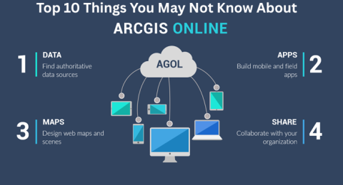
Top 10 Things You May Not Know About ArcGIS Online
Top 10 Things You May Not Know About ArcGIS Online …
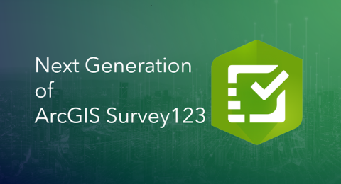
Prepare for the Next Generation of ArcGIS Survey123
For years, ArcGIS Survey123 has been a trusted tool for organizations …

From Curiosity to Impact
At Esri Eastern Africa, our internship program is designed to expose …
How Being Involved in Esri YPN Gains You GISP Contribution Points
In the fast-evolving field of Geographic Information Systems (GIS), continuous professional …

What’s New in ArcGIS Field Maps (25.3.0 Release)
On September 30, Esri delivered the 25.2.0 release of ArcGIS Field …

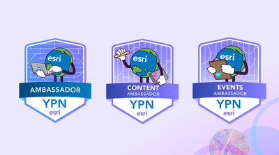
Rise Above the Competition: Join the YPN Ambassador Program
The Esri Young Professionals Network (YPN) Ambassador Program is your opportunity …

What’s New in ArcGIS Drone2Map 2025.2
The 2025.2 release of ArcGIS Drone2Map introduces a robust set of …

Tips to Future-Proof Your GIS Career
As GIS continues shifting toward web-based solutions, the skills you need …
ArcGIS Desktop Retirement: The Next Generation of Mapping is Here
Why ArcGIS Desktop is Retiring For decades, ArcGIS Desktop has been …
Your Path to Entering the 2025 ArcGIS StoryMaps Competition
ArcGIS StoryMaps continues to be one of the most powerful and …
3 Tips for Changing to a GIS Career
Geographic Information Systems (GIS) is a rapidly expanding field—valued at $8.1 …