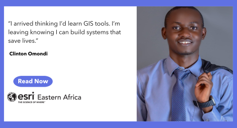
Somewhere with Clinton Omondi
Clinton Omondi is a geospatial engineer working across GIS, data science …
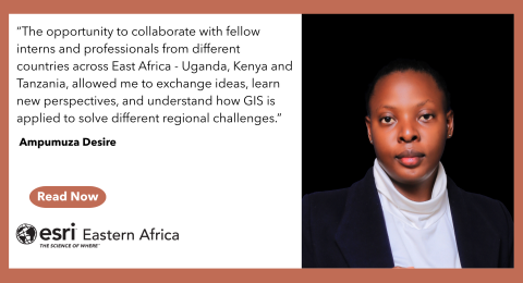
Somewhere with Ampumuza Desire
When you first meet Ampumuza, what stands out isn’t just her …

Mwangi Dennis Githinji’s Journey at Esri Eastern Africa
When Mwangi Dennis Githinji applied for the Esri Eastern Africa internship, …
Closing the Chapter on ArcMap
For more than 20 years, ArcMap has been a trusted tool …
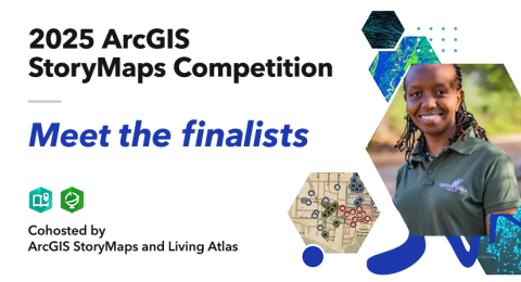
Meet the 2025 ArcGIS StoryMaps Competition Finalist
Esri Eastern Africa is excited to celebrate Grevy’s Zebra Trust’s Healthy …
Understanding ArcGIS Pro License Levels
Introduced in 2018, the user type model groups apps and capabilities …
A Guide to Smarter Sharing in ArcGIS
Imagine this: you’ve created a great collection of maps, web apps, …
Got five minutes? Get to know Esri Updated Demographics
https://www.esri.com/arcgis-blog/products/esri-demographics/business/five-minutes-esri-updated-demographics …

From Classroom Knowledge to Real-World Solutions
When Jackson Mbugua first applied to the Esri Eastern Africa internship …
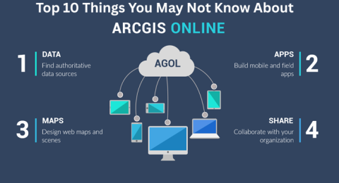
Top 10 Things You May Not Know About ArcGIS Online
Top 10 Things You May Not Know About ArcGIS Online …