Climate change is a spatial issue
October 12, 2022 2022-10-12 7:29
Climate change is a spatial issue
Climate change is one of the biggest environmental concerns of the 21st century. Anyone who has spent any time digital mapping knows that the intersection of geography and all other issues is a great place to start when it comes to gaining insight. Nearly every aspect of climate change has a spatial component. Virtually every climate change related issue can be visualized on a map, which makes it easy to wrap our brains around.
Spatial analytics gives you the power to unlock insights at scale. Coupling these insights with geospatial technology, you can leverage the power of locations, shape and time for adaptive planning, efficient infrastructure delivery and smart services. The Geo-spatial Information System combines geospatial data and meteorological observations to determine the affected areas of climate change. This computer technology organizes and displays the data in geographic format.

Below are ways in which geographers and geoscientists can offer solutions to climate change using GIS:
- Developing new technologies to research climate change impacts and provide solutions
Geographic Information System (GIS) provide emerging technologies to research climate change impacts and improve government’s ability to take action. Geo Infrastructure supports the concept of blending elements of traditional GIS, as well as using modern spatial-based analytical techniques to integrate geospatial data into other areas of science, such as climate change.
- Mapping possible impacts of climate change
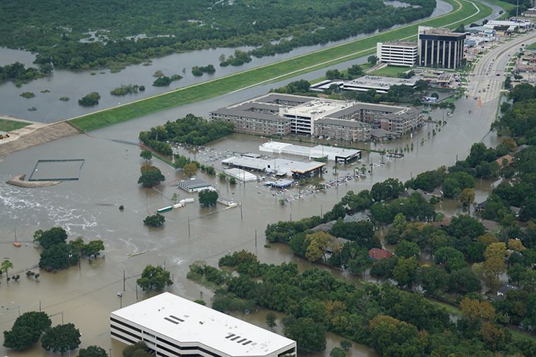
GIS can be used to map out possible impacts of climate change and plan for those changes in advance. For example, a GIS tool could show where water will become scarce, where wildfires are likely to start, or where hurricanes will make landfall. Due to the accuracy and precision of GIS technology, we can determine riskier areas, analyze data sets and predict future effects. With better use of GIS in conjunction with climate data we have been able to identify areas that are most vulnerable to the impacts of climate change such as extinction of species, sea level rise and changing rainfall patterns.
- Examining possible benefits of mitigation efforts such as better conservation of natural resources
GIS provides a method for analyzing natural resource emissions, landscape characteristics, and land use data to create reports on how we can conserve our environment. Mitigation efforts such as better conservation of natural resources, protection of endangered species and improvements in forest conditions can help limit climate change. GIS has the potential to strengthen conservation efforts by providing the opportunity to compare similar areas of the world.
- Combining data to allow for better understanding of the climate system
GIS allows digitization of physical and environmental data, combined with advances in computer science, to offer a tremendous opportunity for researchers to better understand the climate system. Analysis of underlying physical processes such as El Niño and other modes of climate variability can be enhanced by linking data from multiple sources.
The web-based GIS application empowers decision makers with information about vulnerabilities, environmental impacts and climate change in their local communities. The app is designed to promote an open communication process between stakeholders and public agencies during the decision-making phase of climate change planning and mitigation efforts.
Our planet is in trouble. From climate change, to the growing list of extreme weather events, to the extinction of species and the degradation of our planet’s ecosystems. We are all affected, so let’s come together, embrace GIS and act on behalf of our shared future: our communities, our families, and this beautiful world we want to leave behind for our children.
Discover how GIS is digitally transforming the future of natural resources
You can also purchase ArcGIS products online
How has GIS been of help to you? Share your experience in the comment section below!