What’s Special About Geospatial Data?
September 23, 2025 2025-09-24 12:59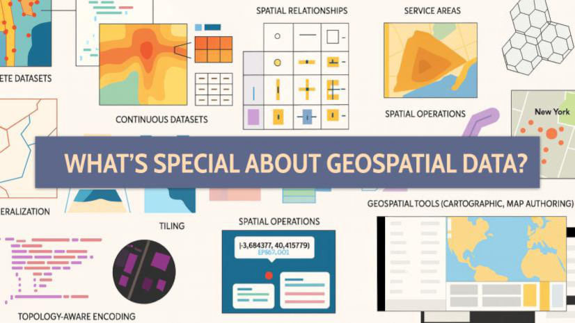
What’s Special About Geospatial Data?
In today’s data-driven world, geospatial data has emerged as one of the most powerful tools for understanding our environment, communities, and the systems we rely on. But what exactly makes geospatial data special?
At its core, geospatial data refers to information that is tied to a specific location on Earth. Unlike traditional data, which might just be numbers in a spreadsheet or text in a document, geospatial data has a location component—such as coordinates (latitude and longitude), addresses, or areas on a map. This location attribute adds a whole new dimension of meaning, allowing us to analyze where things happen in addition to what is happening.
Spatial relationships
One of the most unique aspects of geospatial data is its spatial relationships. It enables us to explore how different features on Earth interact with each other; whether it’s how close hospitals are to residential areas, how traffic patterns shift during emergencies, or how climate change is affecting coastal regions. These relationships are critical for decision-making in fields like urban planning, agriculture, public health, disaster response, and environmental conservation.
Layers
Another special quality is that geospatial data often comes in layers. Think of tools like Google Maps, where you can view streets, satellite imagery, terrain, or traffic all stacked on top of each other. Each layer contains a different kind of information, and when combined, they provide a rich, multidimensional view of a place. This layered approach helps identify trends and patterns that would be invisible in traditional data formats.
Highly Visual
Moreover, geospatial data is highly visual. With tools like Geographic Information Systems (GIS), we can turn complex datasets into maps, heatmaps, and 3D models. These visualizations are not only easier to understand but also more engaging, making them ideal for communicating insights to a broader audience.
Everywhere
Finally, geospatial data is everywhere—from the GPS in your smartphone to satellite imagery used by scientists. With the rise of smart cities, IoT devices, and drones, we’re generating more location-based data than ever before, opening new possibilities for innovation and real-time analysis.
In short, geospatial data is special because it grounds information in a physical context. It helps us understand the “where” behind the “what,” revealing patterns, relationships, and insights that shape the world around us. Whether you’re mapping deforestation, tracking a delivery, or planning a new business, geospatial data is an essential piece of the puzzle.