RCMRD Wins 2026 Esri Special Achievement in GIS Award
July 29, 2026 2026-07-29 8:25
RCMRD Wins 2026 Esri Special Achievement in GIS Award
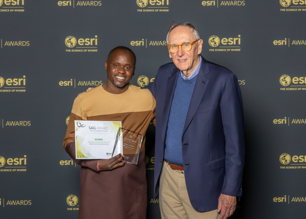
The Regional Centre for Mapping of Resources for Development (RCMRD) has been recognised on the global stage with the 2026 Esri Special Achievement in GIS (SAG) Award, an annual global honour presented by Esri to user organisations that demonstrate outstanding vision, innovation, and leadership in the use of geographic information system (GIS) technology. RCMRD received the prestigious recognition for its groundbreaking work in advancing biodiversity conservation and strengthening evidence-based environmental decision-making across Eastern and Southern Africa.
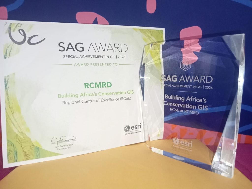
At the centre of this achievement is RCMRD’s Regional Centre of Excellence (RCoE) for Biodiversity, Forests and Seascape Ecosystems Management – a flagship initiative transforming how countries monitor biodiversity, manage protected areas, and report progress towards international conservation commitments.
Turning Data into Action
Across Eastern and Southern Africa, governments face increasing pressure to safeguard ecosystems while meeting ambitious global biodiversity targets. Although vast amounts of environmental and satellite data exist, much of it has historically remained fragmented, difficult to access, or challenging to translate into practical information for policymakers. Recognizing this gap, RCMRD developed an integrated geospatial ecosystem that enables countries to convert complex spatial data into actionable insights.
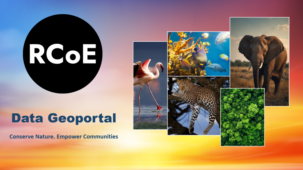
The Regional Centre of Excellence now supports 24 countries by providing open access to biodiversity information through a regional geoportal, interactive mapping applications, policy briefs, and technical capacity-building programmes. These resources help governments make informed decisions on conservation planning while improving the monitoring and management of protected and conserved areas.
The initiative also plays a critical role in supporting reporting under Target 3 of the Kunming-Montreal Global Biodiversity Framework, which calls for conserving at least 30 percent of the world’s land, freshwater, and marine areas by 2030.
A Modern GIS Ecosystem for Conservation
RCMRD’s award-winning solution demonstrates the power of an integrated ArcGIS platform in tackling environmental challenges at scale. Using ArcGIS Online, the organisation hosts and shares geospatial datasets across the region, while ArcGIS Pro supports advanced spatial analysis and data preparation.
Interactive applications developed with ArcGIS Experience Builder provide users with access to biodiversity, forest, and seascape mapping products through the RCoE Map Book Gallery. Field data collection and validation are streamlined using ArcGIS Survey123, ensuring standardised information from participating countries. Meanwhile, ArcGIS Dashboards and ArcGIS StoryMaps communicate project progress and conservation impacts in compelling, easy-to-understand formats, while ArcGIS Hub serves as the project’s open-access geoportal for biodiversity data and knowledge products.
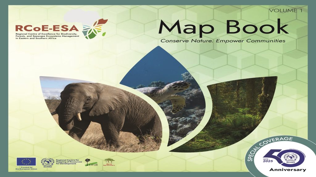
To keep regional datasets current, ArcGIS Data Pipelines automate the integration and updating of country profiles, enabling more efficient biodiversity monitoring and reporting. Together, these technologies have created a seamless digital ecosystem that empowers governments, researchers, and conservation practitioners with reliable, accessible geospatial information.
Building Regional Capacity
Beyond technology, the Regional Centre of Excellence is strengthening institutional capacity throughout Eastern and Southern Africa. The initiative equips national institutions with the skills, tools, and knowledge needed to integrate geospatial technologies into conservation planning and environmental reporting. Through technical training, policy engagement, and knowledge-sharing, RCMRD is helping build a stronger regional community capable of making evidence-based decisions for biodiversity conservation.
This collaborative approach ensures that scientific research is translated into practical solutions that improve ecosystem management while supporting long-term sustainable development.
The 2026 Special Achievement in GIS Award recognises not only an innovative technology platform but also RCMRD’s enduring commitment to using geospatial science to address some of Africa’s most pressing environmental challenges. As biodiversity loss, climate change, and ecosystem degradation continue to threaten communities and livelihoods, RCMRD’s work demonstrates how GIS can bridge the gap between data and action – empowering countries with the information they need to protect natural resources for generations to come.
Through innovation, collaboration, and regional leadership, RCMRD is helping shape a more resilient and sustainable future for Africa – one map, one dataset, and one informed decision at a time.
For this and more stories, subscribe to our weekly ArcHabari Newsletter and stay up to date with the latest GIS news, insights, and innovations.