Somewhere With Kimengech Brenda
October 23, 2026 2026-10-23 11:48
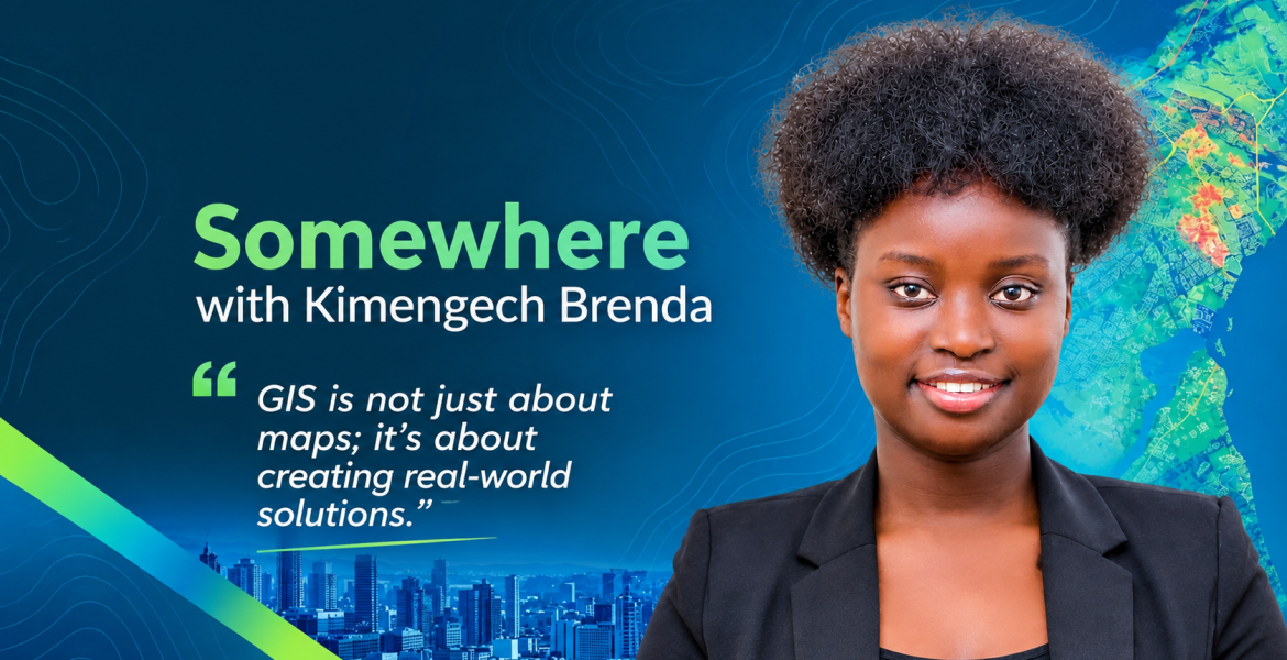
Somewhere With Kimengech Brenda
For Kimengech Brenda, a Geospatial Engineering graduate from the University of Nairobi, GIS is about much more than creating maps. It is about transforming complex spatial data into practical solutions that support better decisions, improve operational efficiency, and address real-world challenges.
With a strong interest in spatial data science, 3D Web GIS, and technical data storytelling, Brenda joined the Esri Eastern Africa internship programme eager to strengthen her technical skills and explore how geospatial technology can address urban, environmental, and infrastructure challenges. Her experience became an opportunity to translate academic knowledge into practical solutions while learning from experienced professionals in the geospatial industry.
Turning Academic Knowledge into Practical Experience
Brenda was drawn to Esri Eastern Africa because of its role in advancing GIS innovation across the region. Having already used Esri technology for research and spatial modelling, she wanted to gain experience in an enterprise environment where spatial data supports real operational decisions.
Her first impression of the organisation was shaped by its collaborative and supportive working culture. Rather than simply observing, interns were given meaningful responsibilities, encouraged to explore modern GIS tools, and trusted to approach technical challenges with creativity and ownership.
One of the most rewarding aspects of her experience was collaborating with fellow interns and mentors to develop complete spatial workflows. These projects connected desktop geoprocessing, cloud-hosted feature layers, mobile field assignments, and interactive dashboards into a unified system.
Seeing the different components work together across the web GIS ecosystem helped Brenda appreciate the value of building solutions that go beyond individual applications to support entire operational processes.
Building a 3D Web GIS Command Center for Kilimani
Among Brenda’s internship projects, the 3D Web GIS Command Center for urban compliance and environmental risk in Kilimani stood out as her favourite and proudest achievement.
The project brought together several GIS capabilities to support urban compliance monitoring and environmental risk assessment. It incorporated 3D scene visualisation, slope gradients, land use and land cover (LULC) categories, and riparian buffer zones ranging from 6 to 30 metres, alongside workflows for dispatching field assignments.
The goal was to demonstrate how spatial technology can connect analysis with action. Rather than presenting geographic information in isolation, the solution was designed to help link spatial insights with field operations and executive-level monitoring.
Brenda also developed and tested workflows that connected field tasks to executive key performance indicators (KPIs), counters, and pie charts. During practical testing, seeing live field task updates reflected directly in the dashboard was a particularly rewarding moment.
For her, the project demonstrated how GIS can support operational accountability by connecting information, field teams, and decision-makers through a coordinated system.
Expanding Her Technical Skills
Throughout the internship, Brenda strengthened her understanding of modern Web GIS architecture and gained practical experience with several tools and workflows within the Esri ecosystem.
Her key areas of learning included:
- ArcGIS Experience Builder: Configuring interactive dashboards and working with custom Edit and List widgets.
- Arcade expressions: Building dynamic database logic to support more responsive applications and meaningful metrics.
- ArcGIS Field Maps: Configuring task-based workflows to connect field assignments with wider operational systems.
- Survey123: Understanding the integration of automated field data collection tools.
- Data governance and security: Working with security view layers and learning how to structure data for appropriate access and use.
These skills broadened her understanding of how different GIS components can work together to deliver solutions that meet specific organisational needs.
The experience also reinforced an important lesson: a successful GIS solution is not defined by its technical complexity alone. It must also present information clearly and support the people who rely on it to make decisions.
Overcoming Technical Challenges Through Problem-Solving
Like many hands-on learning experiences, Brenda’s internship came with its share of challenges.
One of the more demanding tasks involved configuring task-assignment architectures in ArcGIS Field Maps and dynamically connecting them with custom widgets in ArcGIS Experience Builder. She also worked on translating integer raster codes into clear, executive-friendly metrics.
To overcome these challenges, Brenda sought guidance from her supervisor, Mr. Lee Gituku, who encouraged her to consult technical documentation and test configurations iteratively using Map Viewer and Field Maps Designer.
This approach helped her work through complex configurations while strengthening her troubleshooting skills and confidence in tackling unfamiliar technical problems.
The mentorship she received played an important role in this process. Brenda describes the team as approachable and supportive, with constructive feedback and technical guidance that encouraged interns to move beyond basic implementations.
Her experience highlighted the importance of asking questions, testing ideas, and remaining willing to learn when working with complex technologies.
Learning Beyond the Technology
Brenda’s internship also offered lessons that extended beyond software and technical implementation.
She recalls a particularly valuable conversation with Mr. Trevor, who shared insights on preparing for job interviews, positioning oneself professionally, and the importance of continuously upgrading one’s skills. The discussion helped her reflect on how professional development and the ability to demonstrate relevant skills can influence career opportunities.
These lessons complemented the technical knowledge she gained, giving her a broader perspective on preparing for life after university.
For Brenda, the internship was as much about developing a professional mindset as it was about mastering new tools.
Shaping a Career in Spatial Data Science and Urban Technology
Having completed her degree, Brenda hopes to transition into professional roles in geospatial data science, spatial solution architecture, and project management, particularly within the built environment and property technology (proptech) sectors.
Her long-term ambition is to develop scalable Web GIS platforms that streamline sustainable urban planning and infrastructure development.
The internship reinforced her determination to work at the intersection of spatial data science, enterprise GIS architecture, and strategic urban technology. It also showed her the value of professionals who can combine complex spatial analysis with intuitive interfaces that help decision-makers understand and act on information.
As cities grow and urban challenges become more complex, solutions that connect spatial analysis with field operations and accessible decision-support systems can play an important role in improving how organisations plan, monitor, and manage their work.
Advice to Future Esri Eastern Africa Interns
Asked whether she would recommend the Esri Eastern Africa internship programme to other students and young professionals, Brenda’s answer is an emphatic yes.
She values the programme for bridging academic theory with industry-level implementation, providing access to modern enterprise tools, and offering mentorship from experienced professionals. She also emphasises the opportunity to build tangible projects that demonstrate practical skills and address important development priorities.
Her advice to future interns is simple: remain curious, take ownership of your learning, and explore the wider GIS ecosystem instead of limiting yourself to static maps. She encourages aspiring geospatial professionals to explore tools such as Arcade, Experience Builder, field applications, and spatial data science workflows while keeping the end user’s operational needs at the centre of every solution.
She also offers a reminder not to overlook the human side of the experience: cultivate meaningful friendships along the way.
An Experience to Build On
Describing her internship in three words, Brenda chose transformative, dynamic, and impactful.
Her journey reflects the value of practical experience in helping emerging geospatial professionals develop technical expertise, solve real-world problems, and clarify their career ambitions. From building a 3D Web GIS Command Center for Kilimani to connecting field workflows with executive dashboards, her work demonstrated how GIS can evolve from spatial analysis into an integrated system for informed decision-making.
As she prepares for the next stage of her career, Brenda carries forward a clear ambition: to build geospatial solutions that make complex information more accessible, support sustainable development, and help organisations turn spatial insights into meaningful action.
Her experience is a reminder to aspiring GIS professionals that the greatest opportunities often come from looking beyond the map and focusing on the problems that spatial technology can help solve.
Learn more: https://www.youtube.com/watch?v=XabTNydiMvA