Somewhere With Bravin Vulimwa
October 19, 2026 2026-10-19 9:02
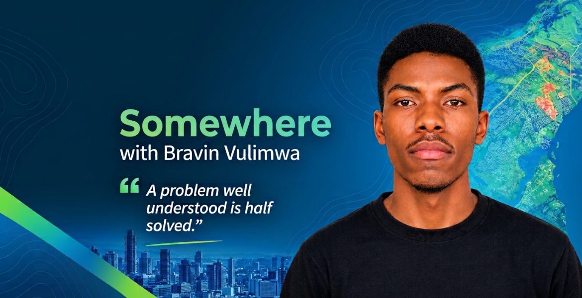
Somewhere With Bravin Vulimwa
Bravin Vulimwa is a final-year student pursuing a Bachelor’s degree in Urban and Regional Planning at Kenyatta University. With a growing interest in data science and Geographic Information Systems (GIS), he works at the intersection of urban planning, spatial analysis, machine learning, and geospatial technologies to transform complex data into actionable insights. His goal is to develop practical solutions that support informed decision-making in urban development, infrastructure planning, and climate resilience.
During his time in the Q3 Esri Eastern Africa Internship Programme, Bravin gained hands-on experience, explored new geospatial technologies, and worked on projects that challenged him to think beyond traditional urban planning. His journey reflects the value of combining academic knowledge with practical skills, collaboration, and a willingness to learn.
Finding the Right Environment to Grow
For Bravin, joining Esri Eastern Africa was an opportunity to build a strong foundation in GIS and gain practical experience beyond the classroom.
“I wanted to become really good at GIS, and Esri was the only place I knew that could give me that,” he explains.
He approached the opportunity with determination, investing time in hands-on practice, Esri training courses, and real-world projects to prepare himself for the experience. His first impression of the organisation confirmed that he had made the right choice. He describes the workplace as feeling like “Amazon HQ or Silicon Valley, but for GIS,” surrounded by professionals whose expertise inspired him to keep learning, exploring, and improving his skills.
Learning by Building Real-World Solutions
One of Bravin’s biggest takeaways from the internship was the importance of applying technical knowledge to solve actual problems.
Throughout the programme, he developed skills in logical and programmatic thinking, problem-solving, communication, and entrepreneurship. He also gained experience in system architecture design, spatial analysis, remote sensing, Python programming, data engineering, machine learning, and API integrations.
He particularly enjoyed working on his personal project, Triple Nexus, which gave him the opportunity to take an idea from conception through development. Bravin describes himself as the “master chef” of the project, having been involved from start to finish. The process came with its fair share of challenges, from refining the initial idea to troubleshooting technical issues during development.
“It was a wonderful experience full of ups and downs,” he reflects.
The experience taught him that developing a solution requires patience, experimentation, and the ability to work through unexpected challenges. Each obstacle became an opportunity to rethink his approach and improve the final product.
Looking Beyond the Tools
Before joining Esri Eastern Africa, Bravin was familiar with ArcGIS Pro. During the internship, he expanded his knowledge by exploring additional tools, including ArcGIS AllSource, and discovering new ways to apply geospatial technology. However, the most important lesson was not simply learning new software. It was understanding how to use technology to address a specific need.
“It taught me to understand the problem first, because a problem well understood is half solved,” he says.
This shift in perspective helped him recognise the difference between knowing how to operate a tool and using it effectively to deliver results. For Bravin, GIS is more than producing maps. It is about identifying challenges, analysing data, connecting different technologies, and developing solutions that help organisations make better decisions.
Turning Challenges into Opportunities
Like any meaningful learning experience, the internship came with challenges. One of Bravin’s biggest was developing his skills in cloud-native remote sensing, particularly using Google Earth Engine, a platform he had not worked with before. Rather than allowing the knowledge gap to hold him back, he dedicated time each morning to learning the platform. Within a week, he had become comfortable working with it.
He credits the organisation’s learning environment and willingness to support interns with helping him overcome the challenge.
“You don’t have to be a genius to work here; they will train you,” he says, describing the attitude that made the experience possible.
The support extended beyond technical training. Bravin particularly valued the relationships he built with colleagues and fellow interns, including Jack, Dennis, Abigael, Shadrack, and Steve. Working together to build, test, debug, and improve systems created opportunities for collaboration while making the learning experience enjoyable.
He also appreciated the approachability of senior colleagues, who took an interest in the interns’ progress and made them feel part of the team. This combination of mentorship, teamwork, and independent learning helped him grow in confidence and develop a stronger sense of professional responsibility.
Achievements That Opened New Doors
Bravin’s internship experience translated into notable achievements in geospatial innovation and problem-solving. During the programme, he became the second runner-up in the AfriGeo Geoshapers Challenge and won the Kilimani Urban Hackathon 2026. He also qualified as a finalist in the IGAD Hackathon, where he worked on smart early warning systems.
These experiences allowed him to apply the GIS knowledge and technical skills he had gained, combining different tools and capabilities to develop solutions for real-world challenges. Reflecting on these milestones, Bravin recognises the role that access to Esri technologies and practical learning played in expanding what he could achieve.
Beyond the competitions, the internship also encouraged him to think intentionally about his future and the professional path he wants to pursue.
A New Direction: WebGIS Development and Data Science
Although Bravin’s academic background is in Urban and Regional Planning, his experience at Esri Eastern Africa has helped shape a new career direction. He is now working towards becoming a WebGIS developer and a data scientist specialising in geospatial applications. Rather than focusing primarily on conventional planning tasks, he wants to build solutions that help organisations unlock the value of their data through GIS, business intelligence, and machine learning.
He is particularly interested in exploring opportunities for the conflict recovery solution he developed and continuing to build applications within the Esri ecosystem.
The ArcGIS Maps SDK has also caught his attention, opening up further possibilities for developing web-based geospatial applications. Looking ahead, Bravin hopes to keep learning, take on new challenges, and share his knowledge with others.
Advice to Future Interns: Focus on Solving Problems
Asked whether he would recommend the Esri Eastern Africa Internship Programme to other students and young professionals, Bravin’s answer is an emphatic yes.
He believes the programme challenges interns intellectually, encourages growth, and provides an opportunity to build skills that can open doors to future opportunities.
His advice to incoming interns is simple: be yourself, stay consistent, and focus on practical problem-solving rather than learning software for its own sake.
“It’s not about learning the software; it’s about thinking pragmatically and solving the problem,” he emphasises.
He also draws inspiration from Proverbs 22:29, which speaks of the value of skill and diligence in one’s work. For Bravin, the message is a reminder to keep improving, remain committed, and deliver on what matters. His three-word description of the internship captures the experience he values most: excellent, skill-focused, and implementation-driven.
Building the Future, One Solution at a Time
Bravin Vulimwa’s journey demonstrates how an internship can become a turning point in a young professional’s career. By combining academic knowledge with hands-on experience, mentorship, and a willingness to tackle unfamiliar challenges, he has broadened his technical capabilities and developed a clearer vision for his future.
His experience also highlights an important lesson for aspiring GIS professionals: the real value of geospatial technology lies not only in the tools themselves, but in how they are applied to solve problems and create meaningful impact.
At Esri Eastern Africa, the Q3 Internship Programme provides students and emerging professionals with opportunities to learn, collaborate, and explore the practical applications of GIS. Bravin’s story is one example of how these experiences can help shape the next generation of geospatial innovators.
As he looks towards the next stage of his career, his focus remains on building practical solutions, learning continuously, and helping others grow along the way.
Interested in building your GIS skills and turning your ideas into practical solutions? Explore our learning opportunities and stay connected for updates on future internship programmes.