Building Stories in the Wild: A Week at Lake Nakuru National Park
May 27, 2025 2025-07-17 6:43Building Stories in the Wild: A Week at Lake Nakuru National Park
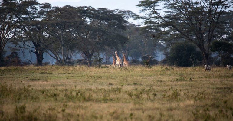
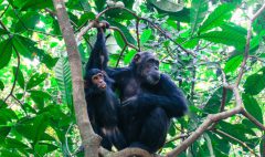
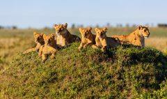
In the heart of Kenya’s Great Rift Valley, Lake Nakuru National Park stretches across rolling grasslands and acacia woodlands, home to a vibrant mix of wildlife from flamingos skimming the lake’s surface to rhinos grazing in the distance. In October 2019, this scenic sanctuary became more than a haven for nature; it became the backdrop for a new kind of conservation effort: storytelling.
A group of 25 professionals from Kenya, Uganda, and Tanzania gathered at the park for a weeklong digital storytelling workshop. They weren’t scientists or rangers this time, they were communicators, marketers, and tourism officers, all eager to learn how to use modern tools to tell the stories of the places and wildlife they protect.
The workshop, part of the ArcGIS Solution for Protected Area Management Initiative, was led by a team from the National Geographic Society and Esri. Their mission was simple but ambitious: to equip conservationists with the skills to tell compelling, data-driven stories using ArcGIS StoryMaps.
The week began with lessons in the art of storytelling; how to structure a narrative, create emotional impact, and use photography as a visual language. The participants explored examples of powerful conservation stories, learning what makes a message stick and why storytelling is a crucial part of conservation work.
As the training progressed, the group ventured into the park. Armed with cameras, GPS tools, and fresh ideas, they roamed through rhino sanctuaries and scenic overlooks, capturing images, collecting data, and gathering the elements that would shape their individual stories. Each participant chose a theme, something personal or pressing, from the role of rangers to community conservation efforts.
Back in the workshop room, the air buzzed with focus. Photos were sorted, maps created, and text drafted. With guidance from the instructors, each person used ArcGIS StoryMaps to transform raw fieldwork into immersive, interactive digital narratives.
By the end of the week, everyone had a story to share complete with visuals, maps, and a message that mattered. Stories ranged from the sounds of Lake Nakuru to tales of transformation among Maasai women and park rangers. Participants presented their completed story maps, showcasing not only their newly acquired skills but also a deeper, more creative connection to their work.
Many of these stories have since been shared within their organizations, sparking wider interest in using digital storytelling for outreach and education. The impact of the training continues, with follow-up support provided and future workshops already in the works.
Lake Nakuru was just the beginning. As the initiative moves to new regions, more conservationists will gain the tools and confidence to tell their stories, and by doing so, bring the vital work of protecting Africa’s natural heritage to the world’s attention.
View full article here: https://www.esri.com/arcgis-blog/products/arcgis-storymaps/announcements/storytelling-capacity-building-lake-nakuru-national-park