Boundaries in ArcGIS Living Atlas: The Unsung Heroes of GIS Workflows
August 13, 2025 2025-08-13 14:23Boundaries in ArcGIS Living Atlas: The Unsung Heroes of GIS Workflows
Boundaries are a core element in many GIS workflows. While they’re often not the main focus of a map or analysis, they play an essential supporting role, much like a “best supporting actor” in a film. ArcGIS Living Atlas of the World is available to all ArcGIS users and it offers a rich collection of foundational layers, including high-quality boundary data, to enhance your projects. Let’s explore four common ways boundaries from Living Atlas can support your work.
1. Enhancing Symbology with Boundaries
Sometimes, boundaries are there to give context rather than take center stage. For example, when mapping survey data, you might use a state boundary layer for labels or outlines in a contrasting color. This helps orient the viewer without distracting from the main data.
In one example, state boundaries were styled in bright pink with hollow fills, matching the label colors. This cohesive design allowed the survey results to remain the focal point while the boundaries provided essential geographic context.
2. Joining Tabular Data to Boundaries
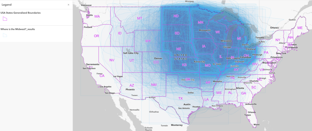
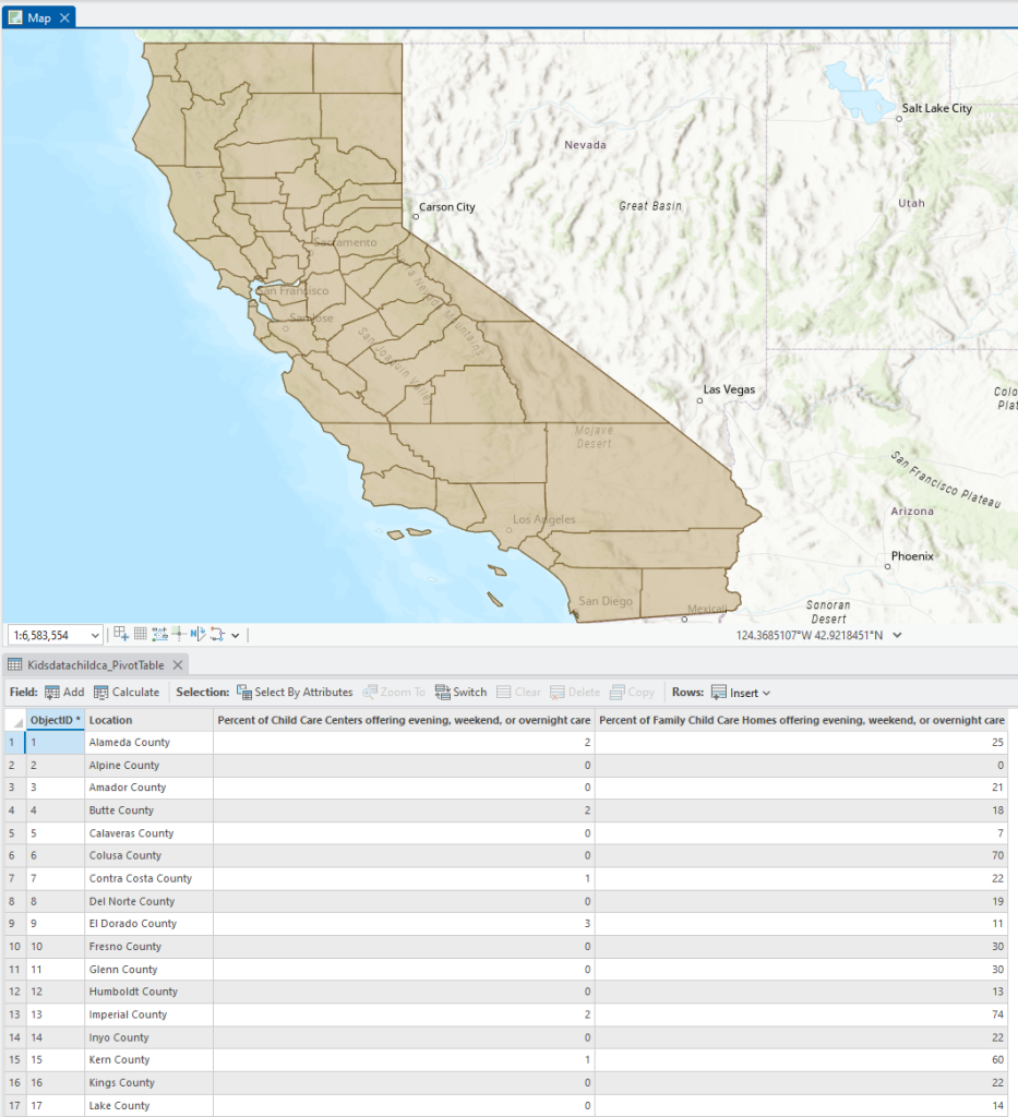
Many maps start as data in spreadsheets. To visualize these, you often need to join the table to a boundary layer such as countries, provinces, or postal codes using a shared attribute. For instance, to map the percentage of California childcare providers offering nontraditional hours, a USA Counties Generalized Boundaries layer from Living Atlas was used as the join target. After preparing the table (including data cleanup and pivoting), the join made it possible to symbolize the results meaningfully.
3. Using Boundaries as Clipping Layers
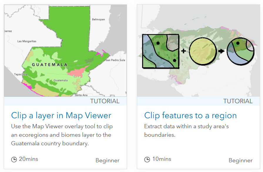
When you need to focus on a specific geographic area, the Clip tool is your friend. Boundaries from Living Atlas can serve as “clip features” for extracting subsets from larger datasets, whether vector or imagery layers. For example, you might clip global data to just a single country or state to streamline analysis and visualization. Both ArcGIS Online and ArcGIS Pro provide beginner-friendly tutorials on clipping.
4. Summarizing Data Within Boundaries
If your data starts as points like locations of potholes, wildlife sightings, or facilities, you may want to aggregate it by familiar geographic units (zip codes, counties, census tracts, etc.).
The Summarize Within tool uses a boundary layer to calculate counts, averages, and other statistics. Example questions you can answer include:
- How many dialysis centers are in each zip code?
- How many miles of bike lanes are in San Diego County?
- Which state has the most garden snail sightings?
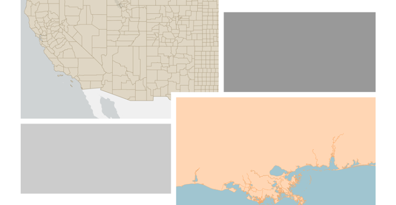
Choosing Between Detailed and Generalized Layers
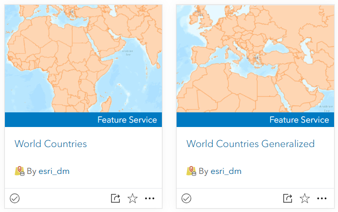
Living Atlas often offers both detailed and generalized versions of popular boundary layers.
- Generalized layers have fewer vertices, which means faster performance is ideal for broader visualizations.
- Detailed layers preserve intricate features, making them better for analyses that require precision, such as coastline mapping at a city scale.
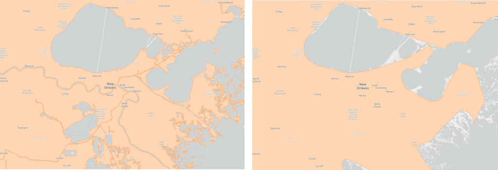
For example, when mapping New Orleans, the detailed layer keeps tiny islands and complex coastlines, while the generalized version smooths them out for efficiency.
Where to Find Boundaries in Living Atlas
Boundaries are second only to basemaps as foundational GIS content. To access them:
- In Map Viewer, open the Layers pane.
- Select Browse Layers → From Living Atlas.
- Search for boundaries relevant to your project.
Frequently requested layers include:
- World Administrative Divisions (Admin level 1)
- World Countries (generalized and detailed)
- World Regions & Continents
- USA Zip Codes
- USA Telephone Area Codes
- USA Counties
These layers are regularly updated to provide the most accurate geographic information available.
Boundaries may not always be the star of your map, but in ArcGIS Living Atlas, they’re a reliable, high-quality resource ready to support your next GIS project, no matter how complex or creative it is.
Ready to make boundaries work harder for you?
Explore ArcGIS Living Atlas today and discover the curated boundary layers that can enhance your maps, streamline your workflows, and bring clarity to your spatial analysis.
Disclaimer: This article was originally written by Diana Lavery and published on esri.com. It has been rewritten and rephrased for clarity and readability.