5 Essential GIS Products for Modern Public Works Agencies
October 30, 2026 2026-10-30 8:08
5 Essential GIS Products for Modern Public Works Agencies
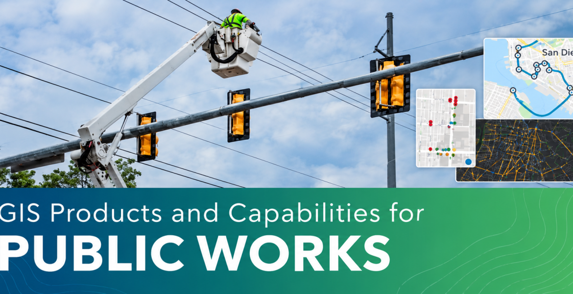
Public works agencies play a vital role in keeping communities functional, safe, and connected. From managing infrastructure and maintaining public assets to coordinating field operations and delivering essential services, these responsibilities require accurate information, efficient workflows, and timely decision-making.
However, as communities grow and infrastructure demands become more complex, traditional approaches to public works management may no longer be sufficient.
Geographic Information System (GIS) technology is helping public works professionals and engineers move beyond conventional processes by connecting location-based data, people, and operations. With the right GIS tools, agencies can improve operational efficiency, manage assets proactively, and enhance service delivery.
Here are five ArcGIS products and capabilities that can help public works agencies address operational challenges and support thriving communities.
1. ArcGIS Velocity: Make Real-Time Decisions
Public works operations often depend on timely information to respond to changing conditions, monitor assets, and coordinate resources.
ArcGIS Velocity enables organizations to ingest data from Internet of Things (IoT) platforms and third-party APIs, allowing them to process, visualize, and analyze real-time data feeds.
Agencies can use this capability to monitor fleet locations and performance, receive alerts from smart sensors, and perform rapid queries and analysis. Real-time data can also be stored as big data for further analysis.
By connecting live data to operational workflows, public works teams can make more informed decisions and respond more effectively to emerging situations.
2. ArcGIS Indoors: Bring GIS Inside
Managing public infrastructure and facilities requires more than an understanding of what is happening outdoors. Organizations also need visibility into their indoor spaces, assets, and operations.
ArcGIS Indoors provides a complete indoor mapping and location tracking system for creating, managing, analyzing, and visualizing indoor data in both 2D and 3D.
For public works agencies, this capability supports shared awareness of facility operations, helps teams pinpoint indoor assets, and streamlines work order management.
With better visibility into indoor environments, facility managers and maintenance teams can improve coordination and manage their operations more effectively.
3. ArcGIS Solutions: Improve Day-to-Day Operations
Public works agencies manage a wide range of responsibilities, often requiring different applications and workflows to address specific operational needs.
ArcGIS Solutions offers a collection of more than 150 focused maps and applications designed to help organizations address common challenges and improve service delivery.
These solutions leverage authoritative organizational data, helping agencies deploy location-based applications more quickly without having to develop every workflow from scratch.
By using purpose-built maps and apps, public works professionals can reduce the time required to implement solutions, improve day-to-day operations, and enhance the services they provide to communities.
4. ArcGIS Field Apps: Optimize Efficiency in Field Activities
Field operations are central to public works activities, from infrastructure inspections and maintenance to asset monitoring and service coordination.
ArcGIS Field Apps provides location-enabled applications that support the different components of mobile work, including planning, navigating, understanding, collecting, monitoring, and coordinating field activities.
These applications help public works teams manage assets and coordinate mobile work, whether operating in connected environments or offline.
By connecting field personnel with accurate location-based information, agencies can improve the coordination of field activities, support better asset management, and enhance operational efficiency.
5. Drone Mapping with ArcGIS: Elevate Your Drone Imagery
Accurate and up-to-date imagery is valuable for monitoring infrastructure, assessing damage, and understanding changes across public assets and facilities.
Esri offers end-to-end drone mapping software solutions for data collection, processing, and analysis through Drone Mapping with ArcGIS.
Public works agencies can capture current imagery to support asset inspections, damage assessments, feature extraction, and digital twin creation.
These capabilities provide additional ways to understand infrastructure conditions, document changes, and support more informed planning and management.
Building More Efficient Public Works Operations with GIS
As communities continue to grow, public works agencies need effective ways to manage assets, coordinate teams, monitor infrastructure, and respond to operational demands.
ArcGIS provides a range of products and capabilities that help organizations connect data, people, and workflows. From real-time monitoring and indoor mapping to field operations and drone imagery, these technologies support more efficient public works management.
By integrating GIS into their operations, public works agencies can move beyond traditional workflows, make better use of their data, and improve the services that communities depend on.
Ready to explore how GIS can support your public works operations? Discover Esri’s public works products and capabilities and identify the solutions that can help your organization work more efficiently and serve your community better.