How Location Intelligence Can Support Smarter Policing
September 23, 2026 2026-09-23 13:02
How Location Intelligence Can Support Smarter Policing
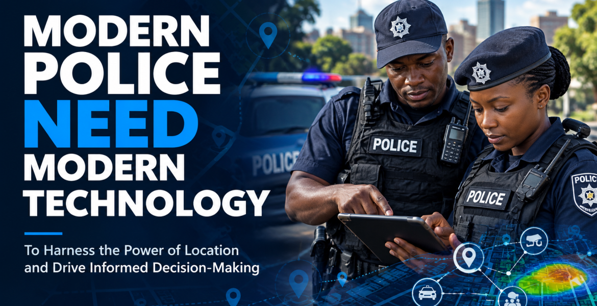
From managing traffic in Nairobi to responding to incidents in Kampala, Dar es Salaam, Kigali, or Arusha, law enforcement agencies across East Africa operate in environments where location matters. Knowing where an incident happened, where officers are deployed, where traffic is building up, or where emergency services are needed can make a significant difference in how quickly and effectively agencies respond. Modern policing is increasingly generating large amounts of location-based information. This can come from incident reports, patrol activities, traffic systems, cameras, mobile devices, and other sources. The challenge is not simply collecting this information, it’s bringing it together and turning it into useful insights.
Turning scattered data into a clearer picture
Many law enforcement agencies work with different systems for different tasks. When these systems operate separately, valuable information can remain in data silos. The document identifies disconnected systems, large data volumes, different data formats, security requirements, and the speed at which information is generated as key challenges for agencies seeking to become more data driven.
Consider a busy urban area such as Nairobi. A police command team may need to understand reported incidents, traffic conditions, patrol locations, and other operational information at the same time. Bringing these different datasets together on a map can provide a more complete picture of what is happening and where resources may be needed. This is where Geographic Information System (GIS) technology can play an important role.
From maps to operational intelligence
GIS is more than displaying information on a map. Spatial analysis allows agencies to examine incidents in relation to their locations and identify patterns that may otherwise be difficult to see. According to the document, combining information from multiple sources can help agencies understand what is happening, why it is happening, and where similar events may occur. For East African cities experiencing rapid urban growth, this type of location-based analysis can support a range of operations. Agencies could use maps and dashboards to understand incident patterns, monitor ongoing operations, plan patrol activities, or coordinate responses during major public events.
Supporting officers in the field
The value of location intelligence is not limited to command centres. Officers working in the field also need access to relevant and up-to-date information. The document highlights mobile GIS applications that can provide officers with shared situational awareness, support real-time data collection, and improve coordination between field personnel and command staff.
For an officer responding to an incident in a busy city, having relevant information available on a mobile device can help provide greater context about the surrounding area and the operation underway.
Planning for major events
East Africa regularly hosts large gatherings, sporting events, conferences, cultural celebrations, and other public events. Managing these events requires coordination between law enforcement, emergency services, transport authorities, event organizers, and other stakeholders.
GIS can help create shared event maps showing information such as road closures, routes, officer deployment areas, first-aid stations, and command posts. These maps can then become a live operational picture that is updated as circumstances change.
Building stronger connections with communities
Technology can also support communication between law enforcement agencies and the communities they serve. The document describes public-facing maps, dashboards, and Story Maps as tools that can help agencies share appropriate information, communicate initiatives, and support citizen outreach.
For East African agencies, the opportunity is to use location intelligence not simply as a technology investment, but as part of a broader strategy for improving coordination, decision-making, and public service.
Starting with a practical problem
Modernizing policing does not necessarily mean changing every system at once. The document recommends a phased approach, beginning with a specific problem or operational need and building toward a more integrated system over time. For law enforcement agencies across East Africa, that starting point could be crime analysis, event management, field operations, traffic coordination, or another location-based challenge.
The goal is simple: use location to turn data into a clearer picture, support better coordination, and help law enforcement make more informed decisions.