Make the Most of ArcGIS Drone2Map
November 7, 2026 2026-11-07 14:57
Make the Most of ArcGIS Drone2Map
Drones are changing how organizations collect geographic information. From monitoring construction projects and assessing agricultural land to inspecting infrastructure and managing natural resources, drone technology provides a flexible way to capture detailed information about the world around us.
However, collecting aerial imagery is only the beginning. The real value lies in transforming those images into meaningful geographic information that supports analysis, planning and decision-making.
This is where ArcGIS Drone2Map comes in.
Developed by Esri as part of the ArcGIS Reality suite, ArcGIS Drone2Map is a desktop application that transforms drone-captured imagery into detailed 2D and 3D geospatial products. It enables GIS professionals, surveyors, planners and other users to process, visualize, analyze and share drone data within the ArcGIS ecosystem.
What Is ArcGIS Drone2Map?
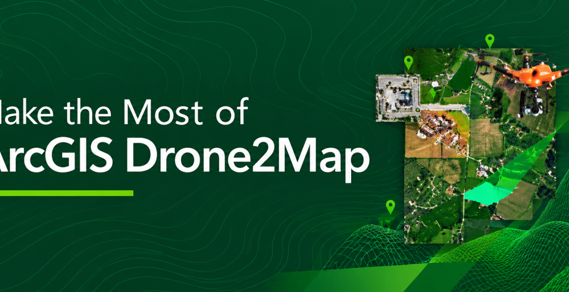
ArcGIS Drone2Map is a photogrammetry application designed to process overlapping images captured by drones and convert them into usable geographic information products.
Rather than working with individual aerial photographs, users can combine multiple images to generate detailed representations of the landscape, infrastructure and other features on the ground.
The application supports imagery from a wide range of modern drones and allows users to process natural-colour, thermal infrared and multispectral datasets.
As a desktop application, Drone2Map also allows users to process imagery in the field immediately after a flight, without having to wait for an internet connection.
This makes it particularly useful for projects where timely access to geographic information is essential.
What Can You Create with ArcGIS Drone2Map?
One of the major advantages of Drone2Map is its ability to generate different geospatial products from a single drone imagery collection.
Here are some of the key outputs:
1. High-Resolution Orthomosaics
An orthomosaic is a geometrically corrected aerial image created by combining multiple overlapping drone photographs into one continuous image. Unlike ordinary aerial photographs, orthomosaics are corrected to provide a consistent geographic representation of the mapped area.
They are useful for:
- Land-use and land-cover mapping.
- Site planning and development monitoring.
- Agricultural field assessment.
- Property and infrastructure mapping.
2. Digital Surface Models (DSMs) and Digital Terrain Models (DTMs)
Drone2Map can generate elevation-based products that provide valuable information about the physical characteristics of an area. A Digital Surface Model represents the elevation of the earth’s surface, including features such as buildings, vegetation and other structures.
A Digital Terrain Model represents the underlying bare-earth terrain. These products can support terrain analysis, drainage assessment, construction planning, earthwork calculations and environmental studies.
3. 3D Point Clouds and Textured Meshes
Drone2Map also supports the creation of detailed 3D products. Point clouds represent objects and surfaces using thousands or millions of georeferenced points, while textured meshes provide realistic 3D representations of buildings, infrastructure and landscapes.
These outputs can help organizations visualize complex environments, assess structures and better understand spatial relationships.
How Different Industries Can Benefit from Drone2Map
Drone imagery has applications across many industries. When processed using Drone2Map, the resulting information can support more informed operational decisions.
Agriculture
Agricultural organizations can use multispectral imagery to assess crop conditions, identify variations in vegetation health and generate vegetation indices. Thermal imagery can also help investigate temperature patterns across agricultural areas. These insights can support crop monitoring, precision agriculture and more targeted field management.
Construction and Infrastructure
Construction teams can use drone imagery to monitor project progress, assess site conditions and generate elevation models. Orthomosaics and 3D models provide a detailed visual record of project sites, helping teams compare conditions over time, assess quantities and communicate progress to stakeholders.
Surveying and Land Management
Surveyors and land management professionals can use drone-derived orthomosaics, elevation models and 3D products to support mapping, site assessments and spatial planning. Combining these products with other GIS datasets provides additional context for understanding land characteristics and development patterns.
Environmental Management
Environmental organizations can use drone imagery to monitor changes in landscapes, assess vegetation conditions and document environmental disturbances. By comparing imagery collected at different times, organizations can gain insights into changing environmental conditions and support conservation initiatives.
Infrastructure Inspection
Drone imagery can help inspect difficult-to-access assets such as buildings, bridges and other infrastructure. Drone2Map’s inspection workflows also support the review of close-range imagery, helping users document and examine potentially hazardous or inaccessible locations.
Bringing Drone Imagery into the ArcGIS Ecosystem
Another important advantage of ArcGIS Drone2Map is its integration with the broader ArcGIS platform. Once imagery has been processed, users can share their outputs with ArcGIS Online or ArcGIS Enterprise, making geographic information more accessible to colleagues and other stakeholders.
Projects can also be opened in ArcGIS Pro for further spatial, temporal and spectral analysis, as well as additional data management and visualization.
This creates a connected workflow that takes organizations from drone data collection to processing, analysis and information sharing. Instead of treating drone imagery as standalone photographs, organizations can incorporate it into their wider GIS workflows and use it alongside existing spatial datasets.
Get More from Your Drone Data with ArcGIS Drone2Map
Drone technology provides organizations with new opportunities to collect detailed geographic information. However, collecting imagery alone does not guarantee better insights. The ability to process, analyze and share that imagery is what makes it valuable.
ArcGIS Drone2Map helps bridge this gap by transforming raw drone photographs into detailed 2D and 3D geospatial products that support mapping, monitoring, inspection and analysis.
Whether you work in surveying, agriculture, construction, infrastructure management or environmental conservation, Drone2Map can help you make more of the information captured by your drone.
Ready to take your drone mapping workflows further?
Explore ArcGIS Drone2Map and discover how you can turn drone imagery into actionable geographic insights.
Learn more about its capabilities through the official ArcGIS Drone2Map documentation.