RCMRD Launches Vision 2050 Strategy to Celebrate 50 Years of Geospatial Excellence
June 10, 2025 2025-07-11 8:57RCMRD Launches Vision 2050 Strategy to Celebrate 50 Years of Geospatial Excellence
RCMRD Launches Vision 2050 Strategy to Celebrate 50 Years of Geospatial Excellence
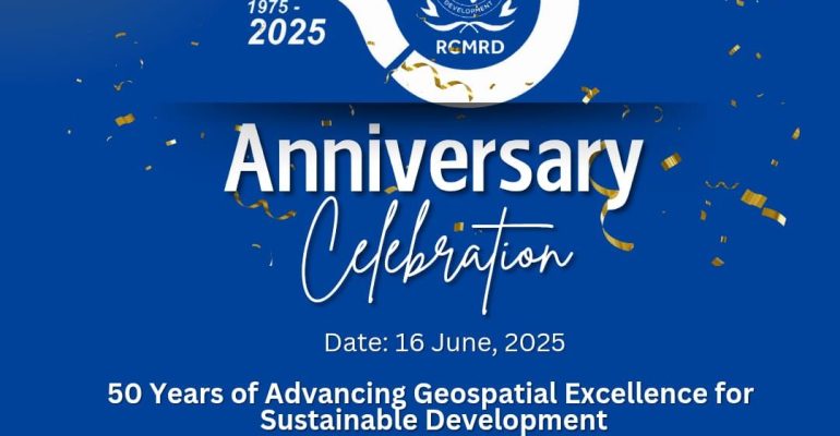
The Regional Centre for Mapping of Resources for Development (RCMRD), headquartered in Kasarani, Nairobi, has launched “Vision 2050”, a forward-looking strategic blueprint to scale its role as a premier geospatial center of excellence across Africa. The unveiling coincides with the Centre’s half‑century milestone since its establishment in 1975 under the auspices of the UN Economic Commission for Africa and the former OAU.
Read more:https://storymaps.arcgis.com/stories/
A Bold Strategic Framework
Vision 2050 reaffirms RCMRD’s core mandate which is to provide surveying, mapping, remote sensing, GIS, and GPS services to 20 contracting and several non‑contracting member countries rcmrd.org. But beyond continuity, the strategy sets five ambitious “Aspirations” to meet Africa’s evolving development challenges:
- Growth & Expansion – Boost financial independence, finalize a modern Business Park complex, expand the Regional Centre Training Institute (RCTI), and establish satellite campuses rcmrd.org.
- Urban & Infrastructure Planning – Provide cutting‑edge GIS solutions for sustainable cities, infrastructure, and urban transport across member states rcmrd.org.
- Land Administration & Earth Observation – Enhance capabilities in land cover monitoring and mapping to support efficient land governance rcmrd.org.
- Disaster Management & Climate Services – Strengthen meteorological, climate resilience, and early‑warning systems for natural hazards .
- Agriculture, Food Security & Poverty Reduction – Deploy geospatial tools in precision farming to raise crop yields, fight hunger, and reduce poverty rcmrd.org.
Technological Leap into the Fourth Industrial Revolution
Central to Vision 2050 is the rapid adoption of 4IR technologies namely; cloud computing, AI, drones, LiDAR, Internet of Things, and edge computing with a goal to create a one‑stop geospatial solutions hub. The plan includes the acquisition of UAVs, a helicopter, autonomous vehicles, and even a hydrographic survey vessel for coastal and inland water assessments rcmrd.org.
Institutional Strengthening
RCMRD intends to significantly expand its training arm by scaling up RCTI to serve over 6,500 students by 2035, designing new curricula in partnership with regional TVETs, and launching a professional geomatics certification to standardize skills across Africa. The Centre also plans to improve governance, diversify revenue streams, and deepen its membership to include Francophone and Central African nations.
Regional Impact Anchored in Global Agendas
Vision 2050 aligns with international commitments such as the UN’s Agenda 2030, AU’s Agenda 2063, and regional visions like EAC Vision 2050, SADC Vision 2050, COMESA, and IGAD integration plans rcmrd.org. By empowering member states with advanced geospatial intelligence, RCMRD aims to accelerate infrastructure development, urban resilience, environmental stewardship, food security, and disaster preparedness.
Looking Ahead
Announcing Vision 2050 last month during a high‑level stakeholder forum, the Centre emphasized collaborative R&D, strong partner engagement, including civil aviation regulators, maritime agencies, universities, and robust governance. An evaluation mechanism will review progress every four years to keep the strategy adaptive and transparent.
As RCMRD celebrates its golden anniversary, Vision 2050 sets a transformative course: evolving from a regional support agency into a self‑sustaining engine of innovation, equipping Africa to thrive in a rapidly changing geospatial and global landscape.
Key Facts at a Glance
- Founded: 1975 under UN/ECA and OAU
- Mandate: Provide geo‑information services across 20+ African countries
- Vision 2050 Pillars: Growth, Urban Planning, Land Management, Disaster/Climate, Agriculture
- Technological Enablers: 4IR adoption, UAVs, AI, cloud, LiDAR
- Capacity Building: Expand training to 6,500+ students; launch professional certification
- Governance: Review cycles, member expansion, financial diversification
This strategic roadmap marks a pivotal moment as RCMRD charts a decisive path into the next 25 years of Africa’s geospatial development.
See full Story Map here


