Keeping Up with ArcGIS: Essential Resources Every GIS User Should Know
August 5, 2026 2026-08-05 9:13

Keeping Up with ArcGIS: Essential Resources Every GIS User Should Know
The ArcGIS system is constantly evolving, with new features, tools, learning opportunities, and best practices released throughout the year. Whether you’re just getting started or you’re an experienced GIS professional, staying informed helps you get more value from your ArcGIS investment.
To make it easier, we’ve compiled some of the most valuable resources every ArcGIS user should know. From technical documentation and training to communities and support, these resources will help you learn, solve problems, and stay up to date with the latest GIS innovations.
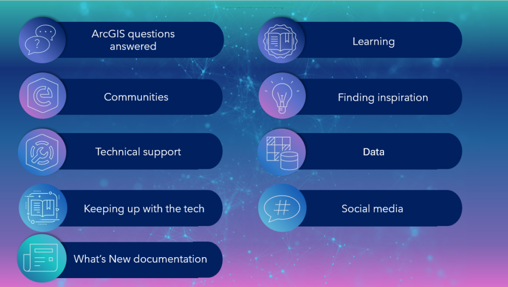
Find Answers to Your ArcGIS Questions
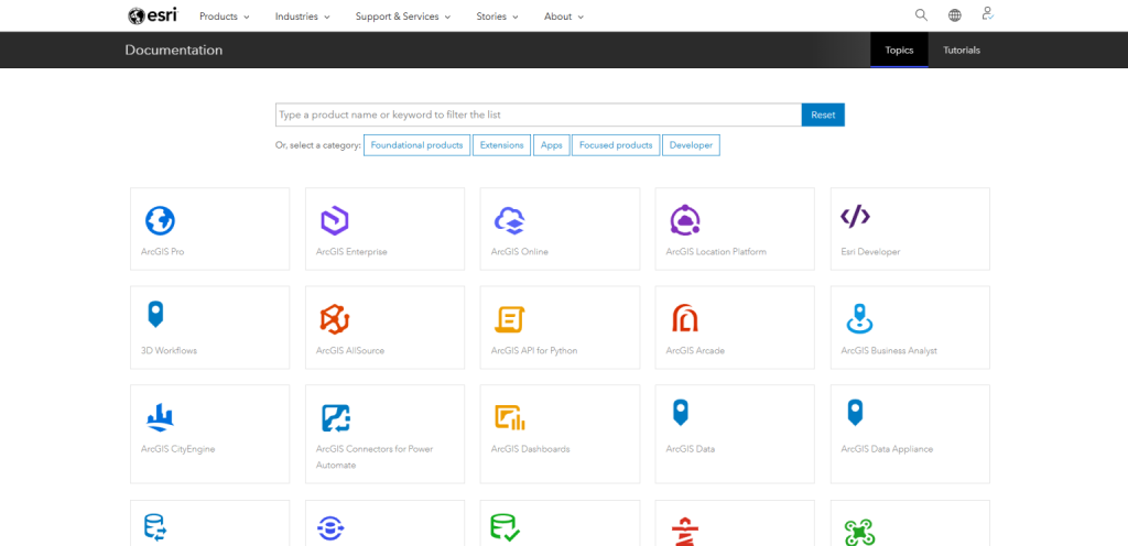
When you encounter a technical challenge or want to learn how a particular workflow works, your first stop should be the ArcGIS documentation. It provides comprehensive guidance covering everything from product administration and configuration to analysis workflows and best practices.
You can also explore:
- ArcGIS Blogs and Esri Eastern Africa blog for product updates, feature highlights, and real-world use cases.
- Esri Technical Blogs for expert tips and implementation guidance.
- Video tutorials on YouTube for quick, practical demonstrations.
- My Esri to manage licenses, download software, access training materials, and submit support requests.
These resources are invaluable whether you’re troubleshooting an issue or exploring new capabilities within ArcGIS.
Join the ArcGIS Community
Learning doesn’t happen in isolation. Connecting with other GIS professionals allows you to exchange ideas, ask questions, and discover innovative ways of using ArcGIS.
Useful community resources include:
- Esri Community to ask technical questions and collaborate with GIS users worldwide.
- ArcGIS Ideas to suggest new product features and vote on ideas from other users.
- Early Adopter Community to test upcoming releases and provide feedback before new features become publicly available.
Get the Support You Need
Sometimes you need direct assistance and that’s where Esri support comes in.
Through My Esri, you can:
- Submit and track support cases
- Manage software licenses
- Monitor known software issues
- Access technical articles and product resources
You can also use the Esri Support App to receive notifications about patches, product lifecycle updates, and new technical articles while accessing support from anywhere.
Stay Current with the Latest ArcGIS Technology
ArcGIS continues to introduce powerful capabilities across its products, making it important to stay informed about new releases.
Some of the best ways to keep up include:
- Subscribing to our ArcHabari Weekly Newsletter
- Reading “What’s New” documentation for ArcGIS products.
- Attending webinars and technical sessions.
- Participating in the Esri User Conference and regional user conferences.
- Following Esri blogs for product announcements and release highlights.
These resources provide practical demonstrations of new functionality and show how organizations around the world are applying the latest GIS technology.
Continue Learning
There is always something new to learn in GIS. Whether you prefer instructor-led training or self-paced learning, Esri offers numerous opportunities to build your skills.
Explore:
- Esri Academy for courses, learning plans, and tutorials.
- Massive Open Online Courses (MOOCs) that combine hands-on exercises with expert instruction.
- Learn ArcGIS tutorials covering topics from beginner workflows to advanced spatial analysis.
Investing time in continuous learning helps you maximize your productivity and stay competitive in today’s geospatial industry.
Get Inspired
Need ideas for your next project? Browse galleries showcasing innovative work created with ArcGIS, including:
- ArcGIS StoryMaps
- ArcGIS Dashboards
- ArcGIS Instant Apps
- ArcGIS Experience Builder
Seeing how others solve real-world problems can spark new ideas for your own organization.
Discover High-Quality Data
Great GIS starts with great data. The ArcGIS Living Atlas of the World offers authoritative, ready-to-use geographic data covering imagery, demographics, environment, infrastructure, and much more.
Depending on your organization’s needs, you can also access premium datasets and imagery to support specialized workflows and decision-making.
Stay Connected
One of the easiest ways to stay informed is by following Esri Eastern Africa across our digital platforms.
Follow us for:
- Product announcements
- Training opportunities
- Customer success stories
- Technical tips
- Event updates
- GIS news from across Eastern Africa
You’ll also discover webinars, blogs, customer stories, and practical resources designed to help you get the most from ArcGIS.
Keep Learning, Keep Exploring
The ArcGIS ecosystem is rich with resources designed to help you solve problems, build skills, and unlock new possibilities with GIS. Whether you’re looking for technical support, professional development, inspiration, or the latest product updates, these resources will keep you connected to the ever-evolving world of ArcGIS. Explore them regularly, continue learning, and make the most of everything ArcGIS has to offer.